Cascada natural - Los chorros de don lolo (Santa Rosa, Colombia) // Natural waterfall - Los chorros de don lolo (Santa Rosa, Colombia)
Cascada natural - Los chorros de don lolo (Santa Rosa, Colombia) // Natural waterfall - Los chorros de don lolo (Santa Rosa, Colombia)
Pinmapple link: [//]:# (!pinmapple 4.88916 lat -75.57157 long Natural waterfall - Los chorros de don lolo (Santa Rosa, Colombia) d3scr)
Versión en español
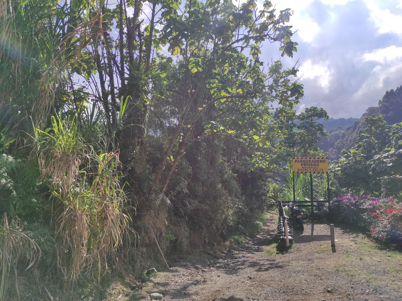
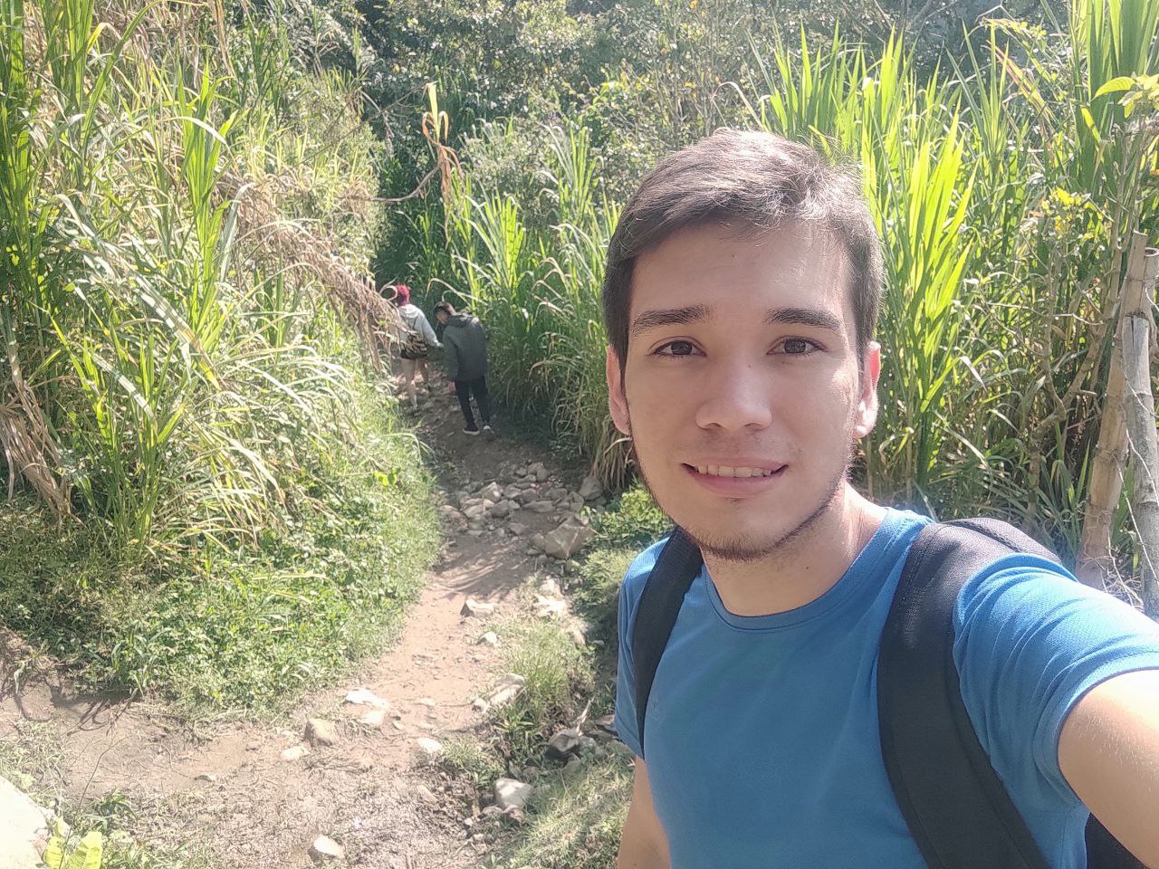
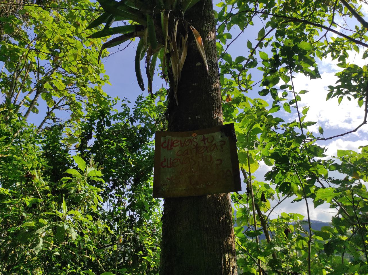
Hola amigos mochileros, excursionistas y turistas, como están? nuevamente les quiero compartir una aventura y un lugar turístico mágico del eje cafetero de Colombia, se trata de los Chorros de don lolo, una formación rocosa de pozos de agua, donde hay una cascada increíble y el agua del rio es helada, es demasiado fría para mi gusto. La ruta hacia este lugar es de dificultad Alta, ya que hay que caminar 1h y 30min aproximadamente al sitio, por medio de un bosque cruzar ríos, rocas, subir por troncos y la verdad no es una ruta para niños ni personas mayores, incluso en la entrada hay un cartel que dice esto mismo.
Incluso el primer tramo es descenso desde la montaña y luego hay que subir nuevamente por una montaña con gran pendiente.
Esta vez me falla la ubicación no se exactamente cuantos kilómetros se camina a este lugar, lo cierto es que mucho tiempo a paso constante.
Además es una ruta muy visitada por ciclistas, por excursionistas, turistas extranjeros y de diferentes ciudades del país, es un atractivo único de Santa Rosa y esta cerca de las aguas termales.
English version
Hi friends backpackers, hikers and tourists, how are you? again I want to share an adventure and a magical tourist place of the coffee axis of Colombia, this is the Chorros de don lolo, a rock formation of water wells, where there is an incredible waterfall and the river water is icy, it is too cold for my taste. The route to this place is of high difficulty, as you have to walk about 1h and 30min to the site, through a forest, crossing rivers, rocks, climbing logs and the truth is not a route for children or older people, even at the entrance there is a sign that says this.
Even the first section is downhill from the mountain and then you have to climb back up a mountain with a steep slope.
This time the location fails me, I do not know exactly how many kilometers you walk to this place, the truth is that a long time at a steady pace.
It is also a very visited route by cyclists, hikers, foreign tourists and tourists from different cities of the country, it is a unique attraction of Santa Rosa and it is close to the hot springs.
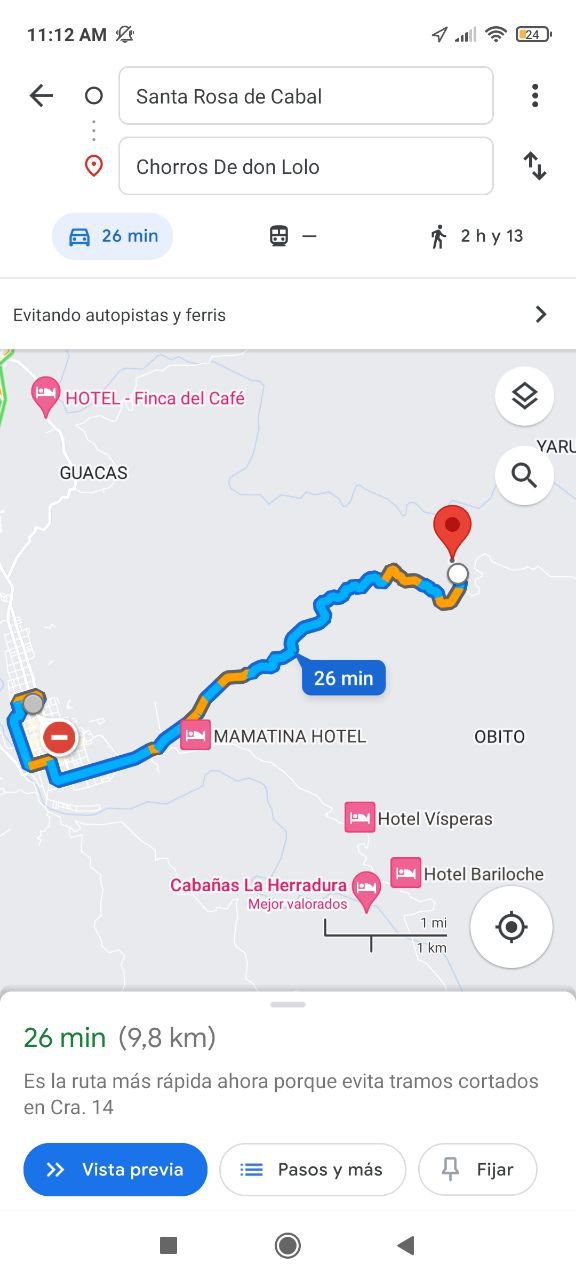
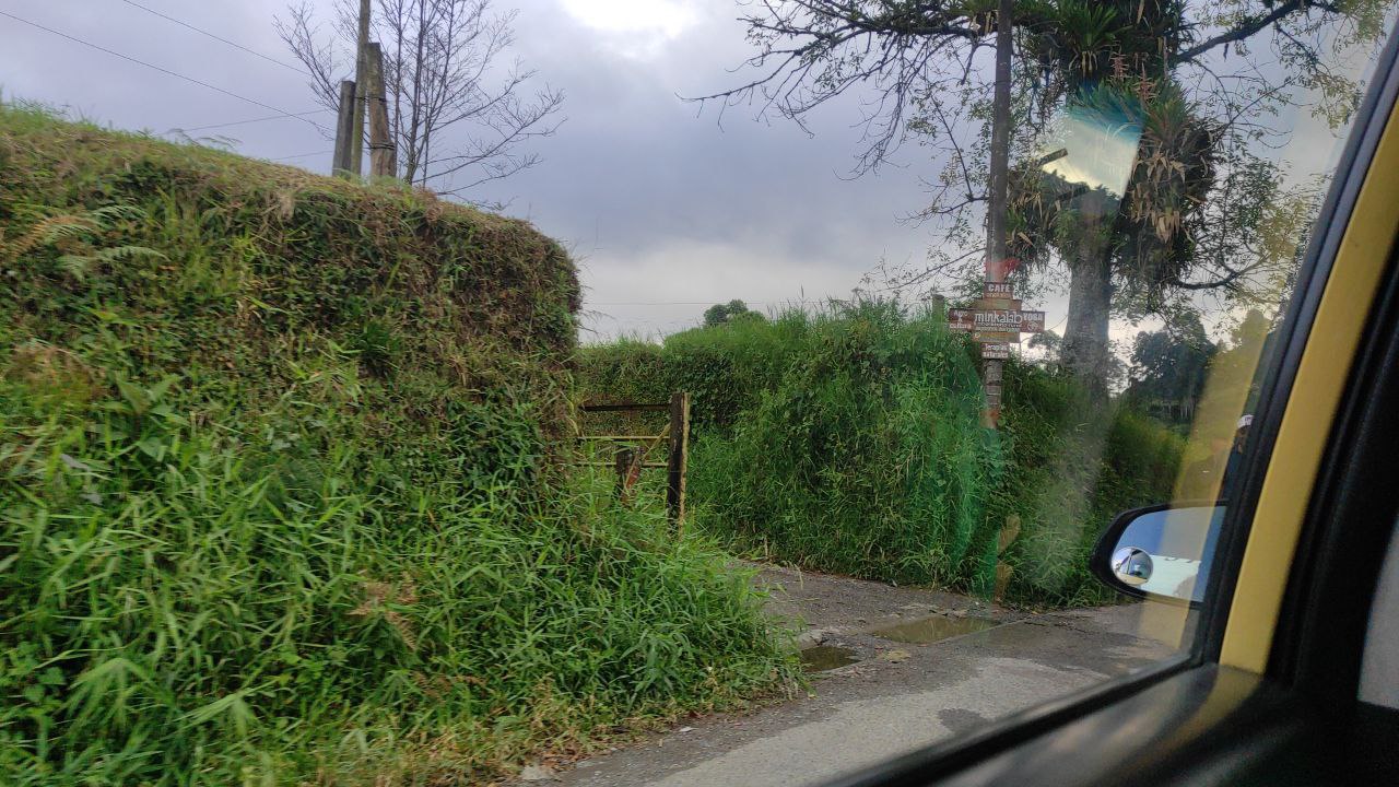
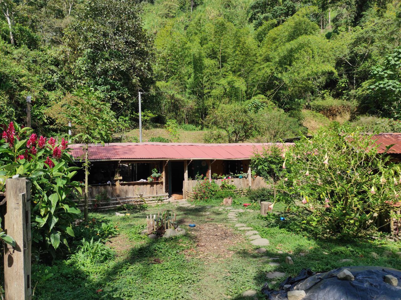
Todo comienza desde el Parque Las Araucarias, allí pueden tomar un taxi hasta la entrada del lugar, ese taxi los deja en el Mirador-Don lolo que es un restaurante. El valor del taxi es de 15.000 pesos Colombianos, equivalente a 3.75$, el tramo en taxi es de 7km y es un poco de 10 min.
También desde las Galerías de pueden ir en vehículos Toyota que van hacia los pueblos de la montaña, y creo que el valor por persona es de 4000 pesos (1$).
En el camino pasamos al costado de muchas fincas y granjas, algunas productoras de tomate, otras con cría de animales y algunas con plantas de café.
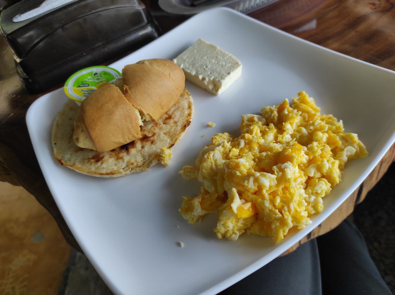
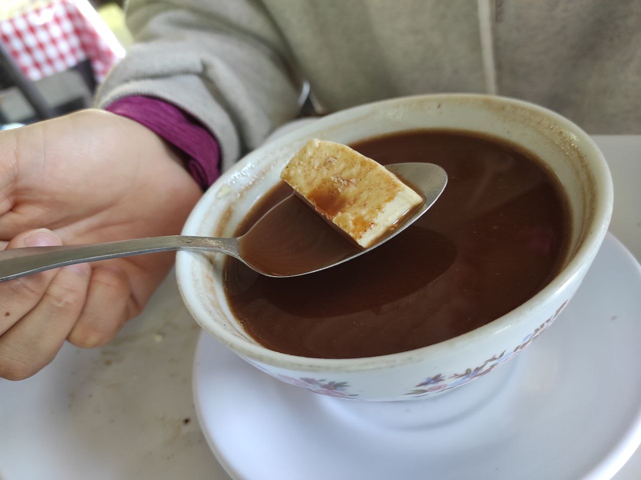
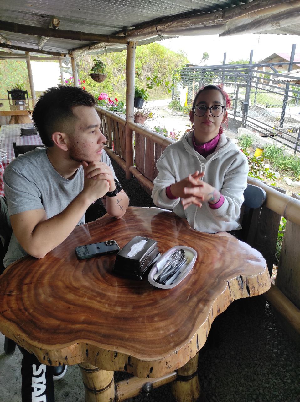
En el restaurante mirador- don lolo, los desayuno valen 10.000 pesos (2.5$) y es un desayuno criollo, huevos revueltos, pan, arepa colombiana, queso y un café o chocolate caliente.
Este es el ultimo lugar donde pueden comparar bebidas, Gatorade, agua, gaseosas, ya que desde aquí comienza el descenso hasta el primer rio.
Everything starts from the Parque Las Araucarias, there you can take a cab to the entrance of the place, that cab leaves you at the Mirador-Don lolo which is a restaurant. The cab fare is 15.000 Colombian pesos, equivalent to 3.75$, the cab ride is 7km long and takes about 10 minutes.
Also from the Galleries you can go in Toyota vehicles that go to the mountain villages, and I think the cost per person is 4000 pesos (1$).
On the way we passed by many farms and farmsteads, some producing tomatoes, others with animal husbandry and some with coffee plants.
At the Mirador-Don Lolo restaurant, breakfast is 10,000 pesos (2.5$) and is a Creole breakfast, scrambled eggs, bread, Colombian arepa, cheese and a coffee or hot chocolate.
This is the last place where you can compare drinks, Gatorade, water, sodas, since from here begins the descent to the first river.
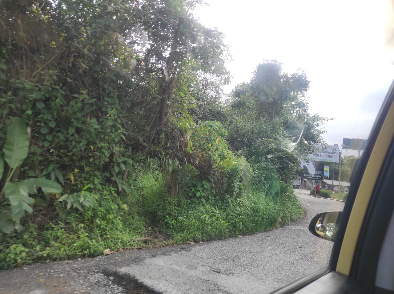
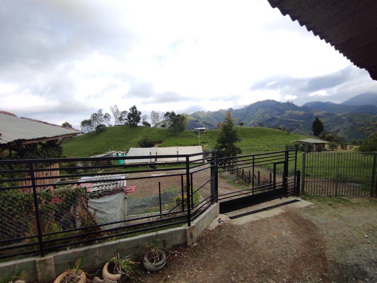
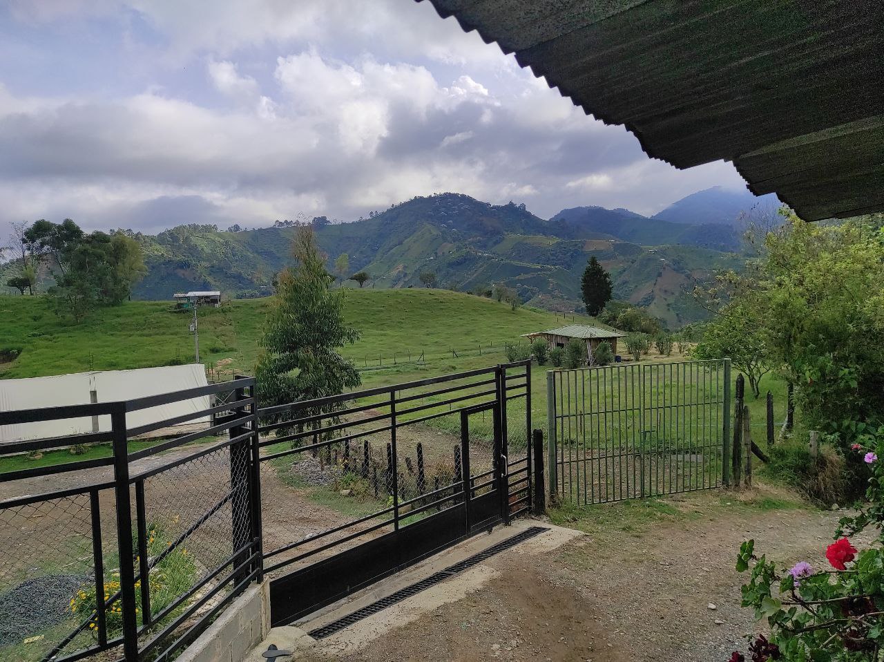
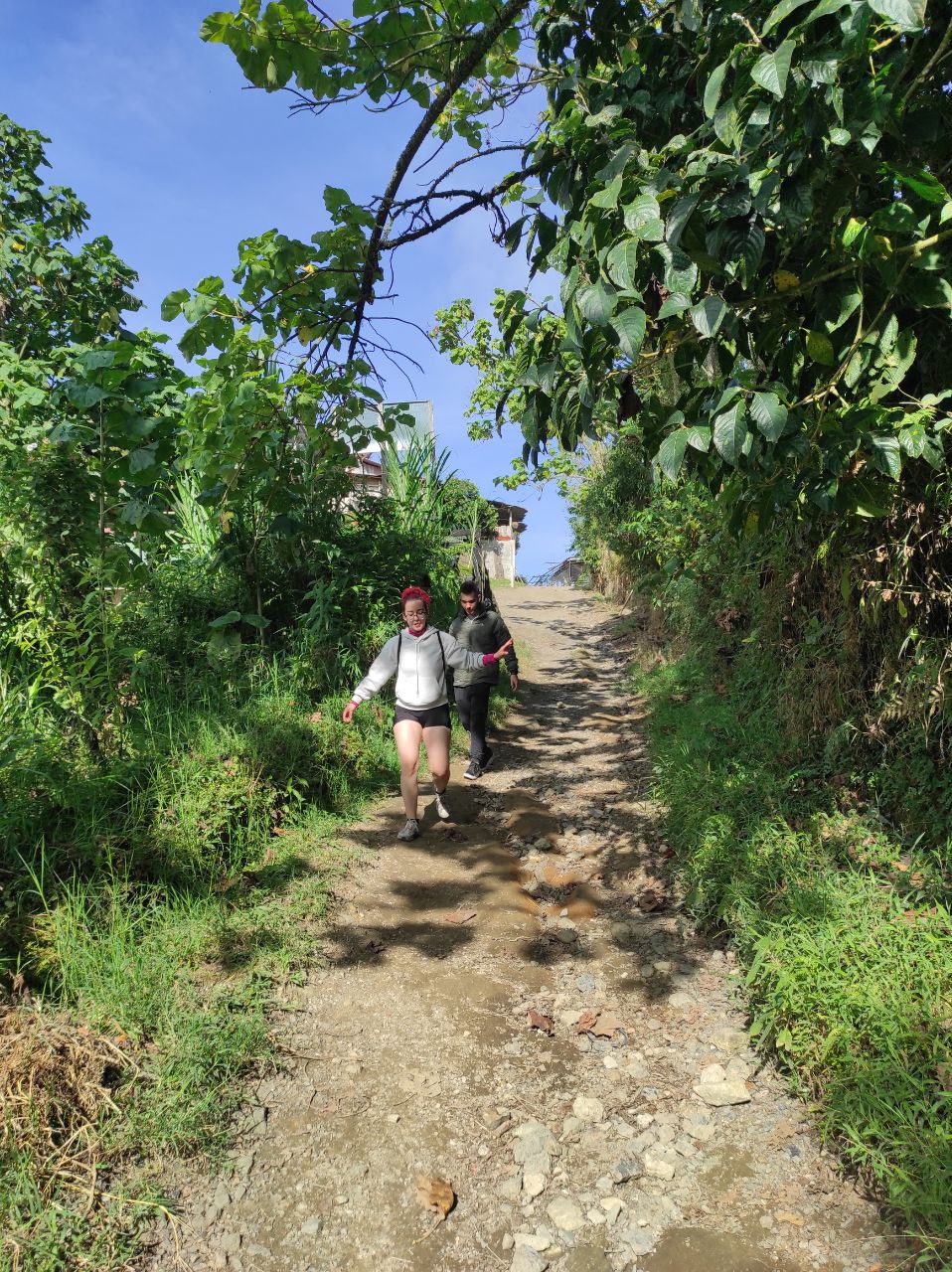
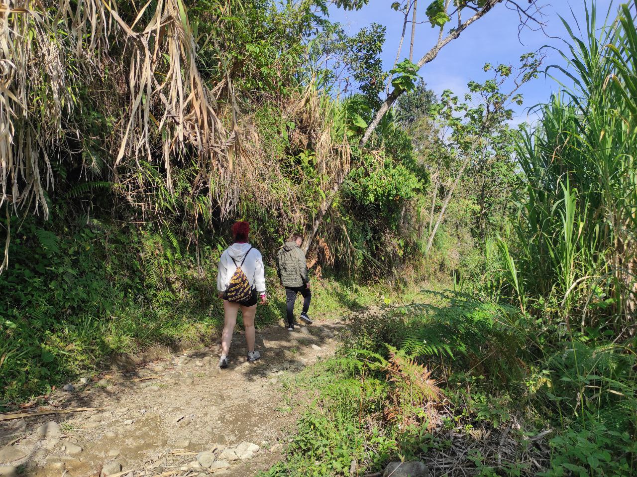
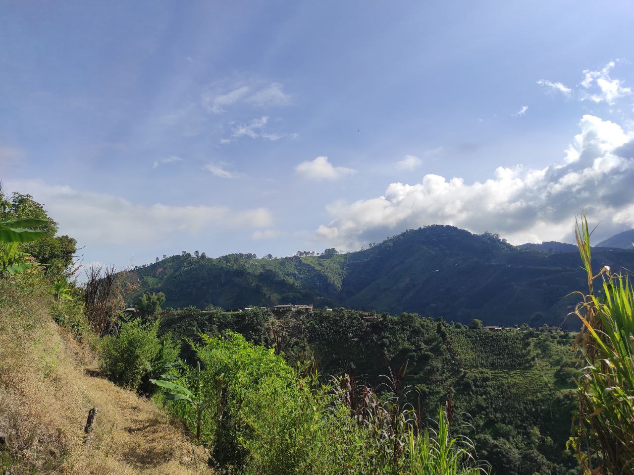
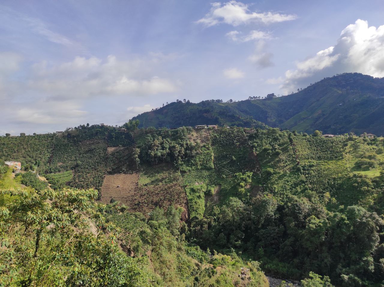
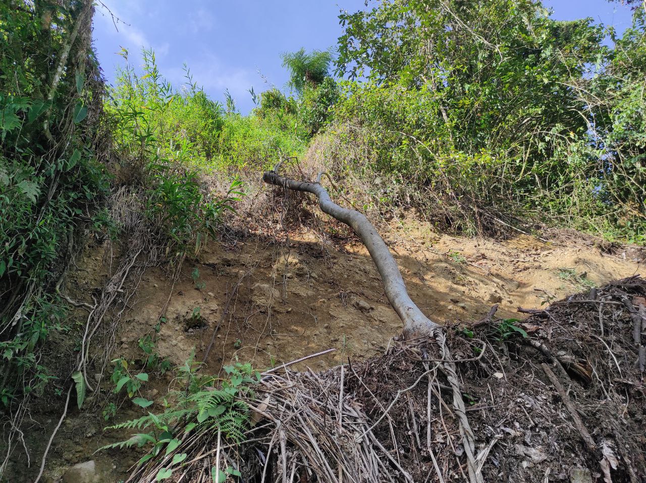
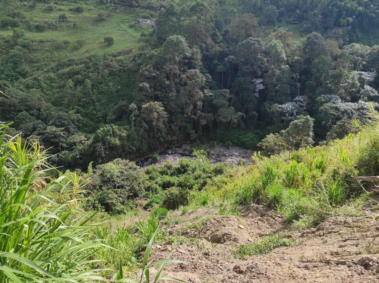
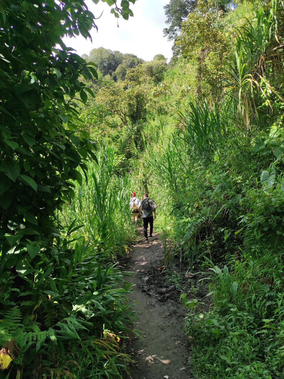
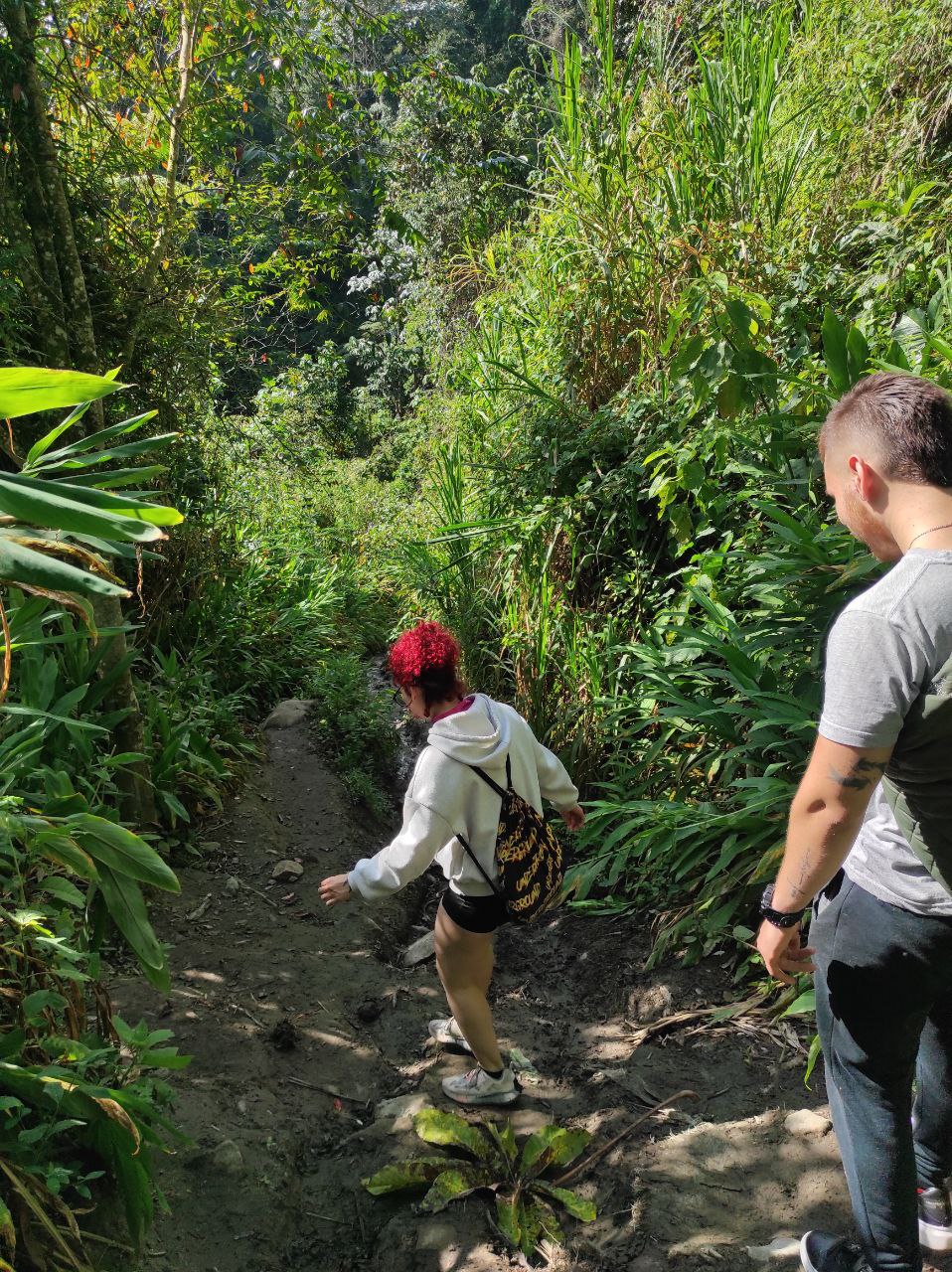
El primer tramo es de 30-40 min aproximadamente, hasta llegar al rio, bajamos por una montaña realmente empinada, y el terreno esta suelto, hay barro, rocas, arenas, así que hay que bajar con mucho cuidado, todos nos caímos al menos una vez en esta bajada. Aun no entramos al bosque pero se puede observar una bonita vegetación y clima frio, desde lo lejos en lo alto de las montañas se ven unas pequeñas casa, cultivos en las laderas, y también derrumbes del camino.
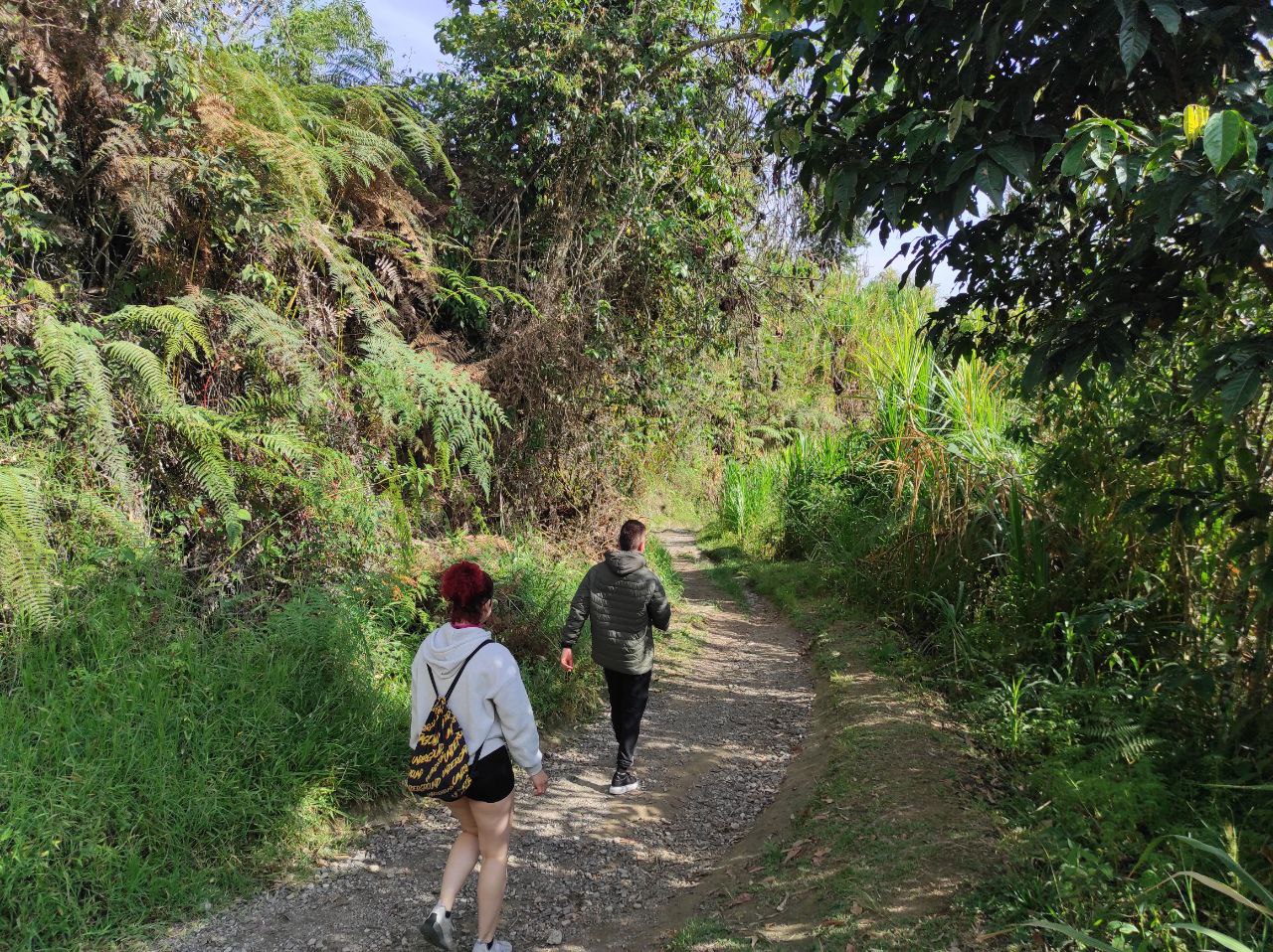
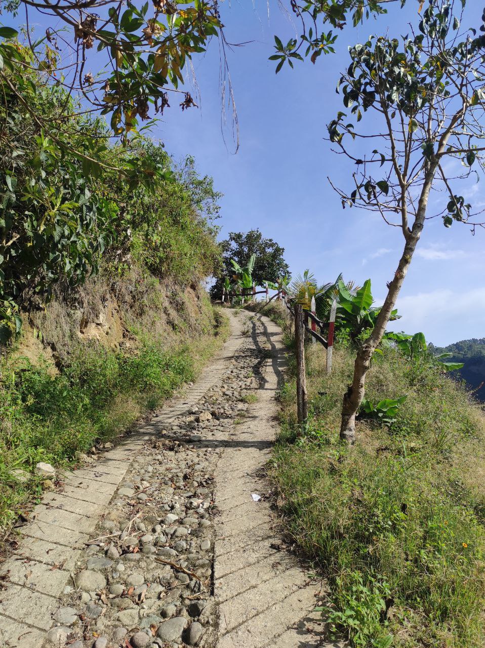
Como podrán en las fotos, el camino es completamente una pendiente, por su puesto hay lugares para descansar, y mas importante que el primer desvió es hacia una finca, tomando el camino con asfalto se llega al a finca, hay que seguir el camino de tierra hasta abajo.
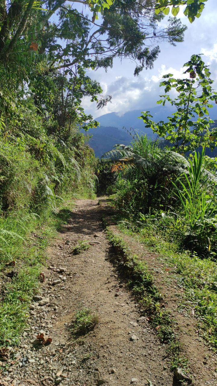
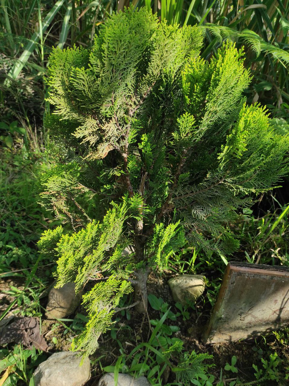
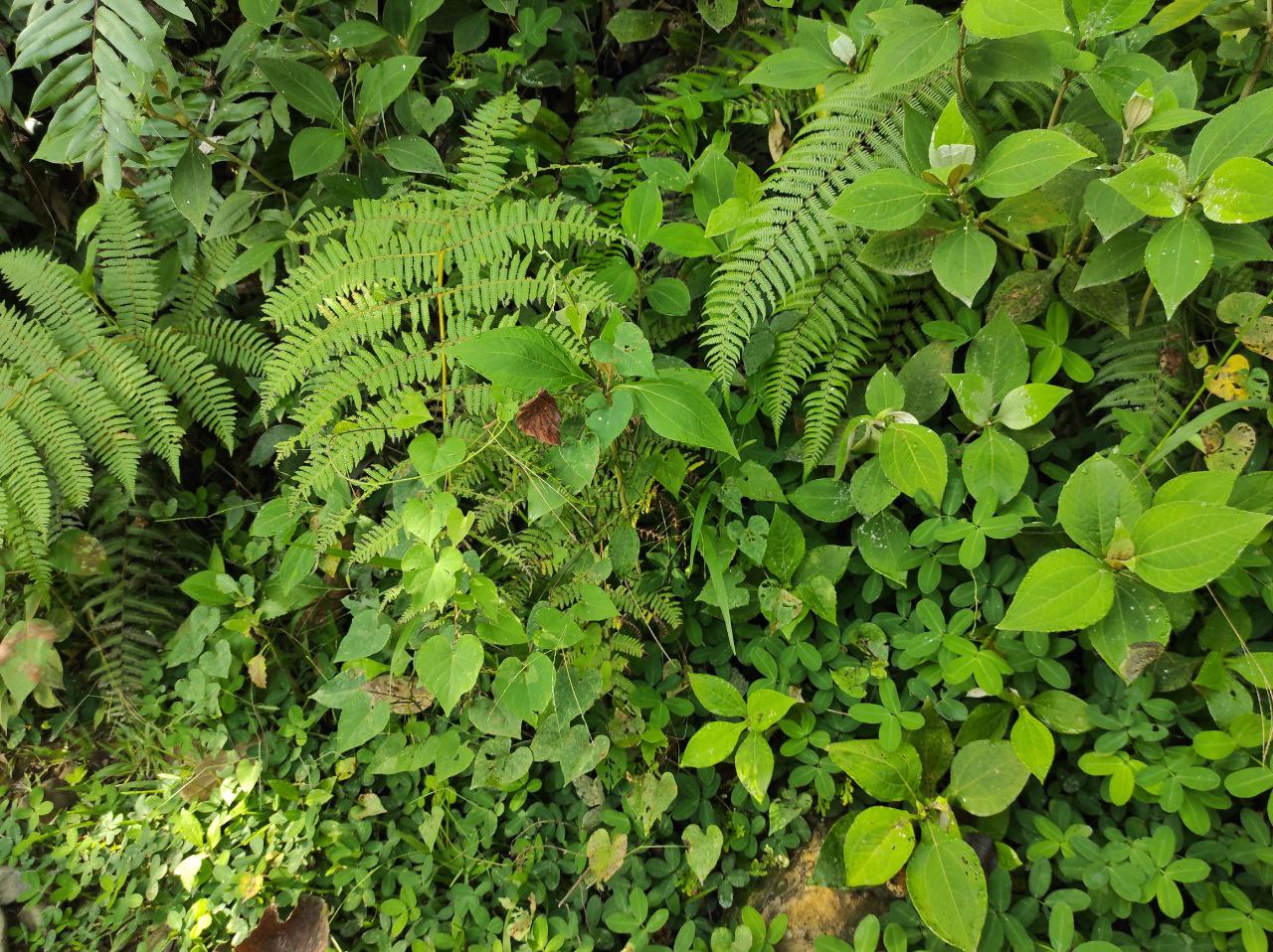
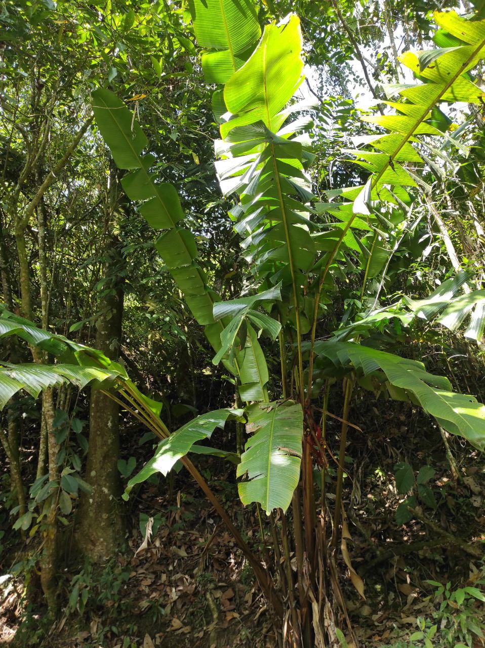
Algo muy bonito que es la primera vez que veo, es un pino pequeño, y creo que se nació de forma natural, la reproducción de los pinos es de las mas difíciles por eso me agrado verlo aquí. Hay helechos, musáceas, todo tipo de vegetación de montaña húmeda.
Hay nacientes pequeñas de agua y hay un momento que desde arriba podemos ver el rio, y se oye a lo lejos, ya aquí comienza el segundo tramo.
The first stretch is about 30-40 min, until we reach the river, we go down a really steep mountain, and the terrain is loose, there is mud, rocks, sand, so you have to go down very carefully, we all fell at least once on this descent. We have not yet entered the forest but you can see beautiful vegetation and cold weather, from far away on the top of the mountains you can see some small houses, crops on the slopes, and also landslides on the road.
As you can see in the photos, the road is completely a slope, of course there are places to rest, and most importantly the first detour is to a farm, taking the asphalt road to reach the farm, you have to follow the dirt road down.
Something very nice that is the first time I see, is a small pine, and I think it was born naturally, the reproduction of pines is one of the most difficult so I was pleased to see it here. There are ferns, mosses, all kinds of humid mountain vegetation.
There are small water springs and there is a moment that from above we can see the river, and we can hear it in the distance, and here begins the second section.
.jpg)
.jpg)
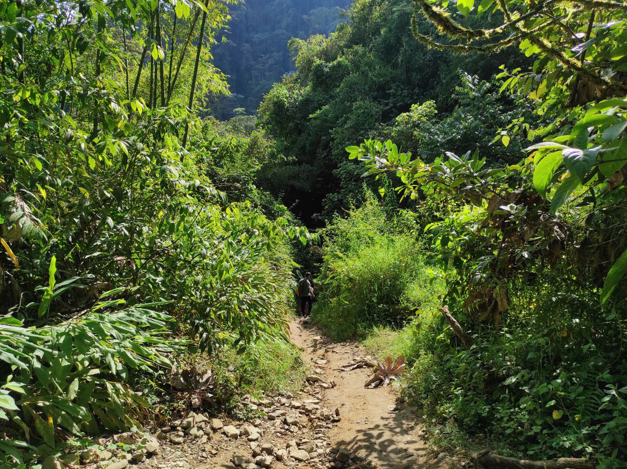
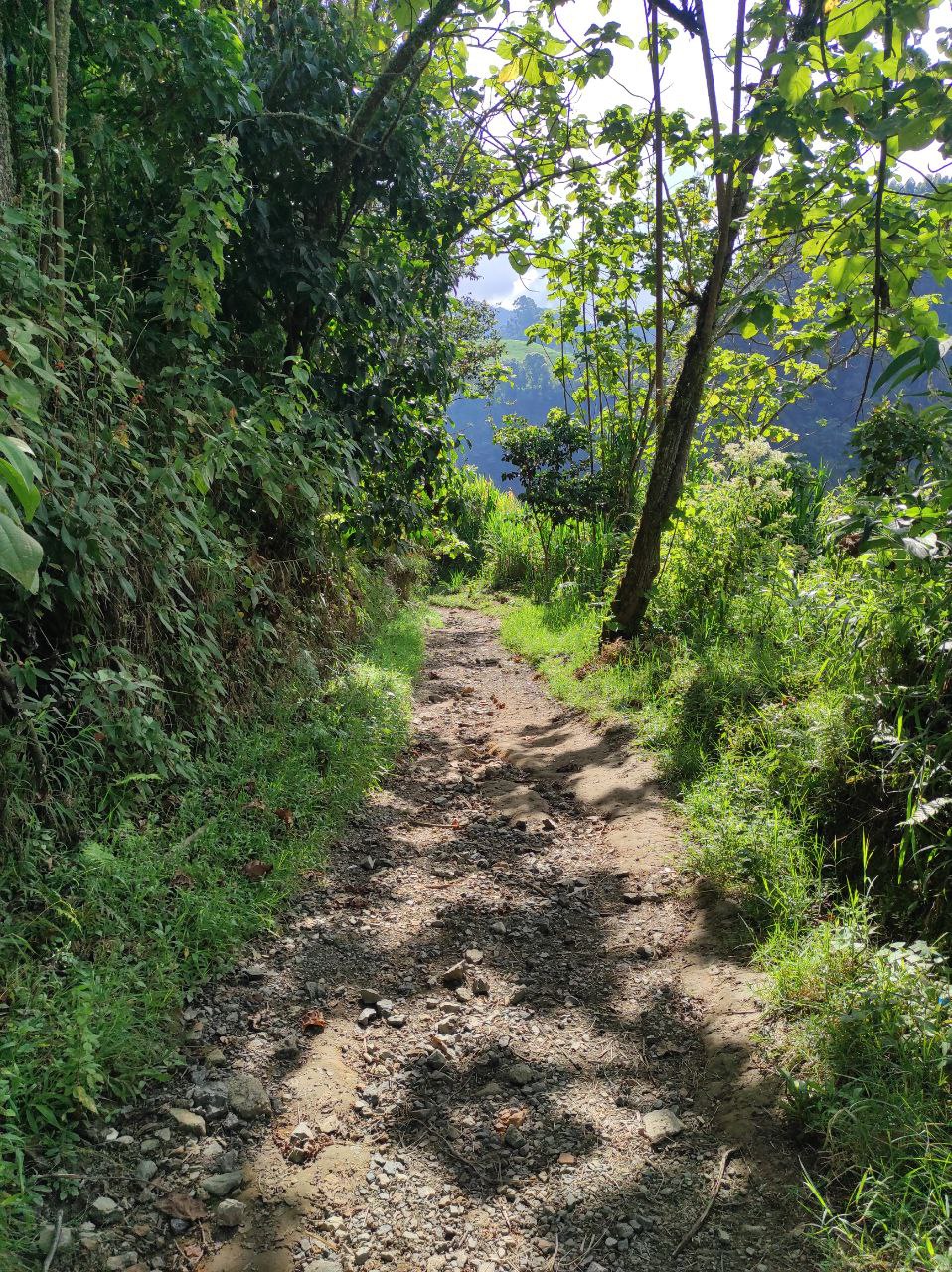
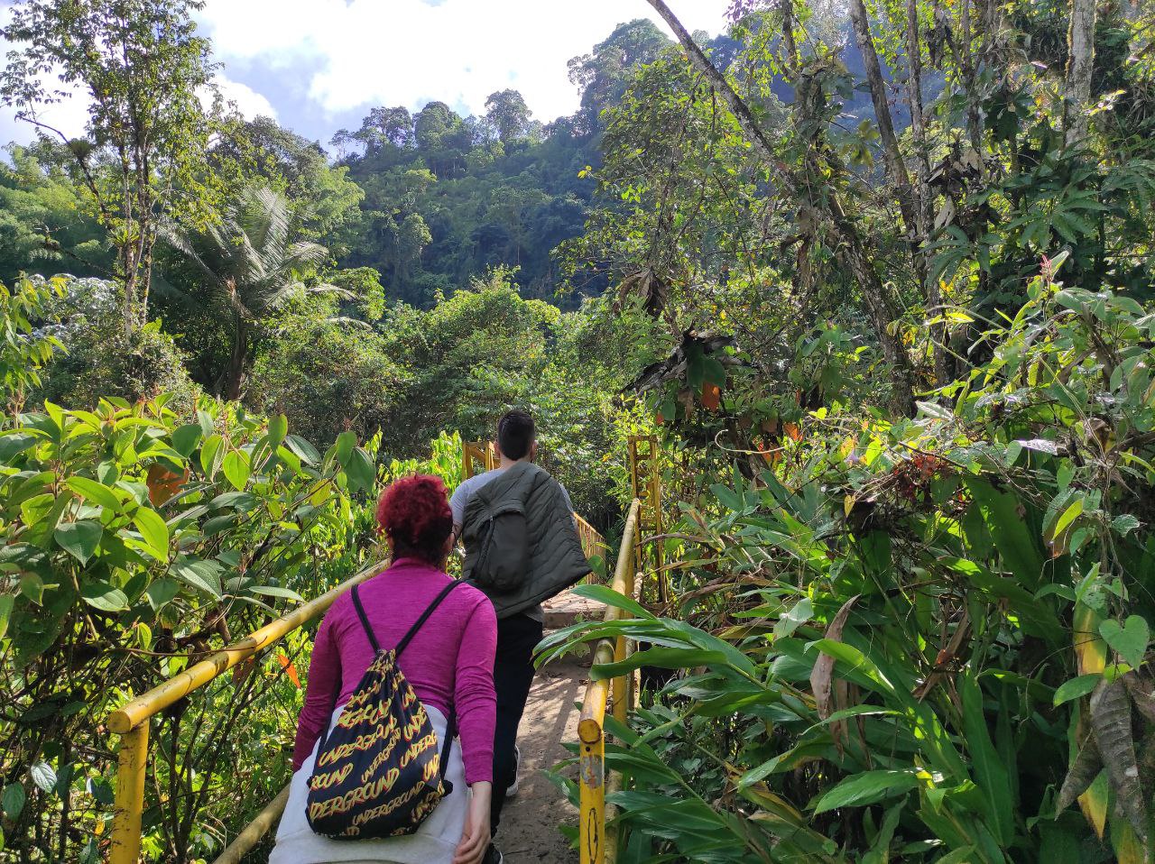
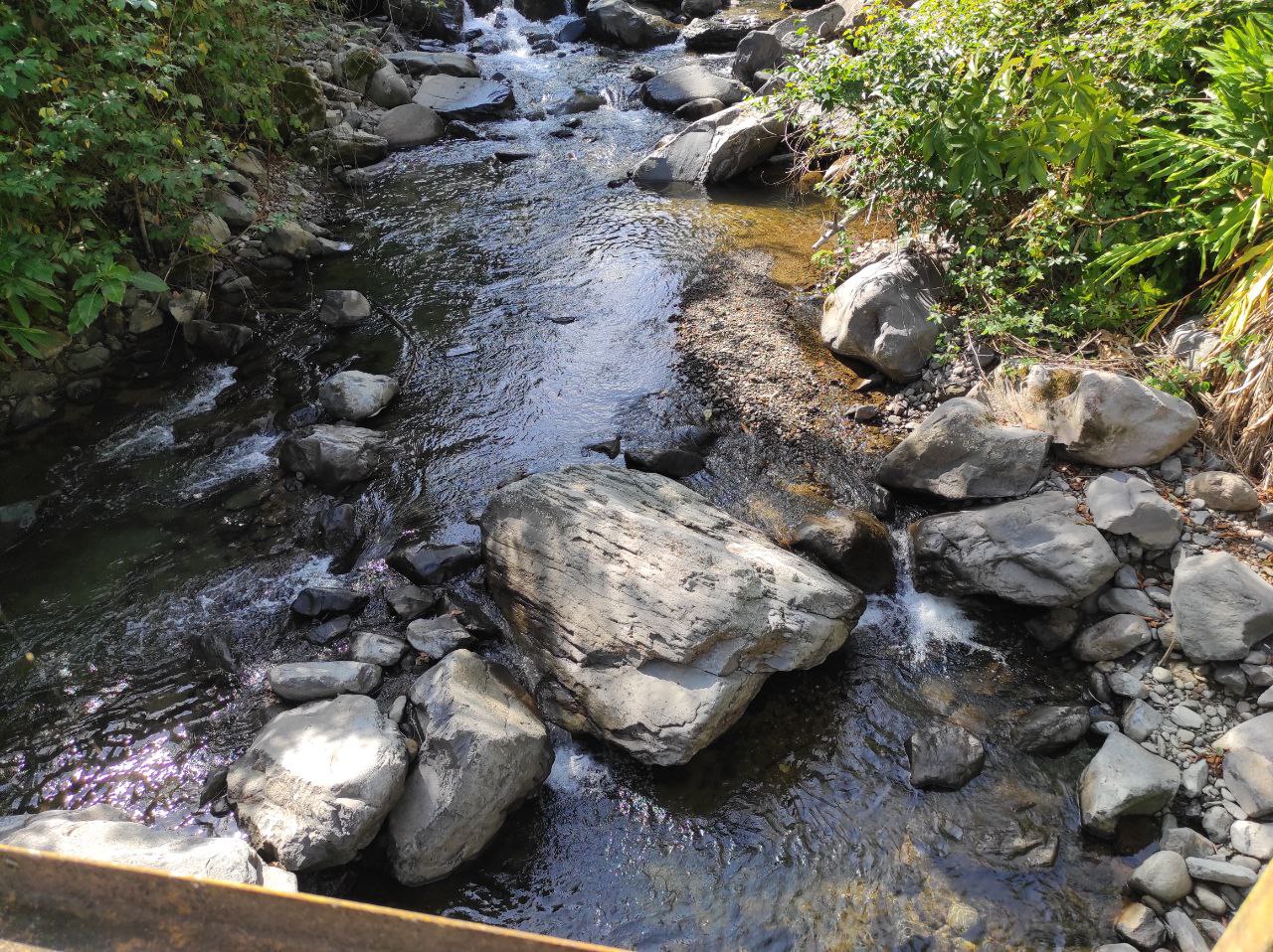
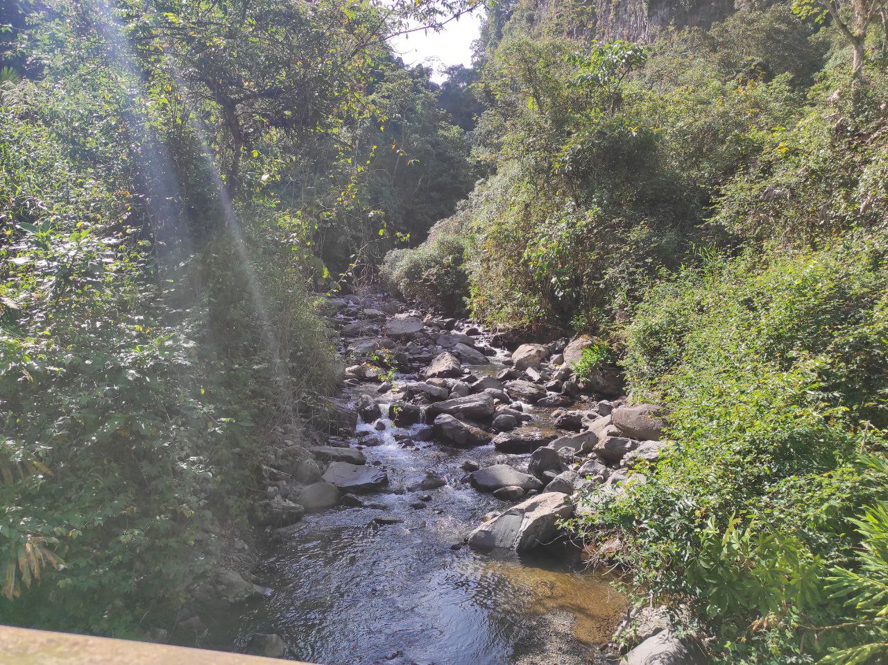
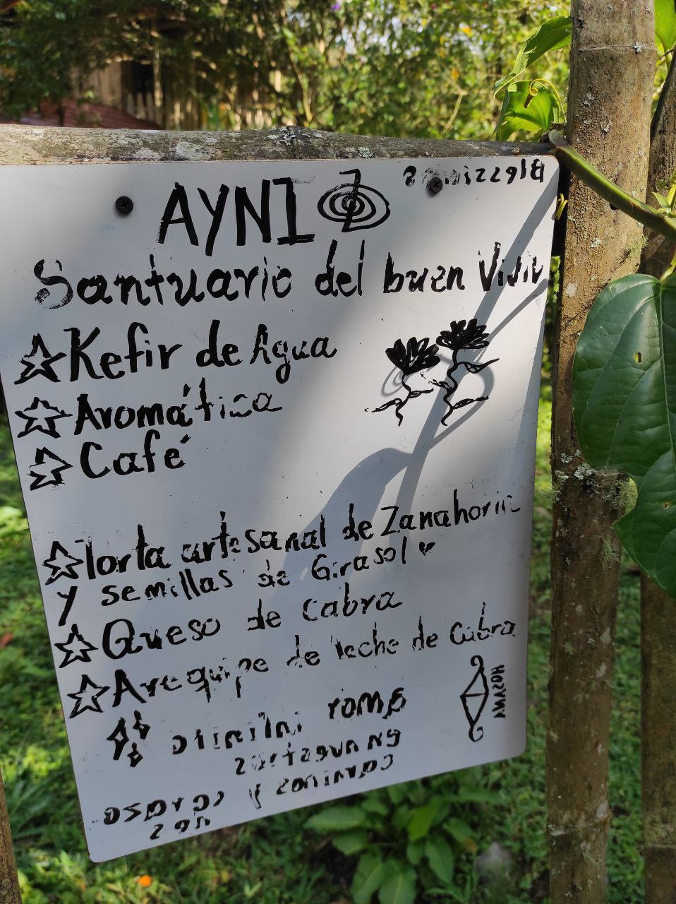
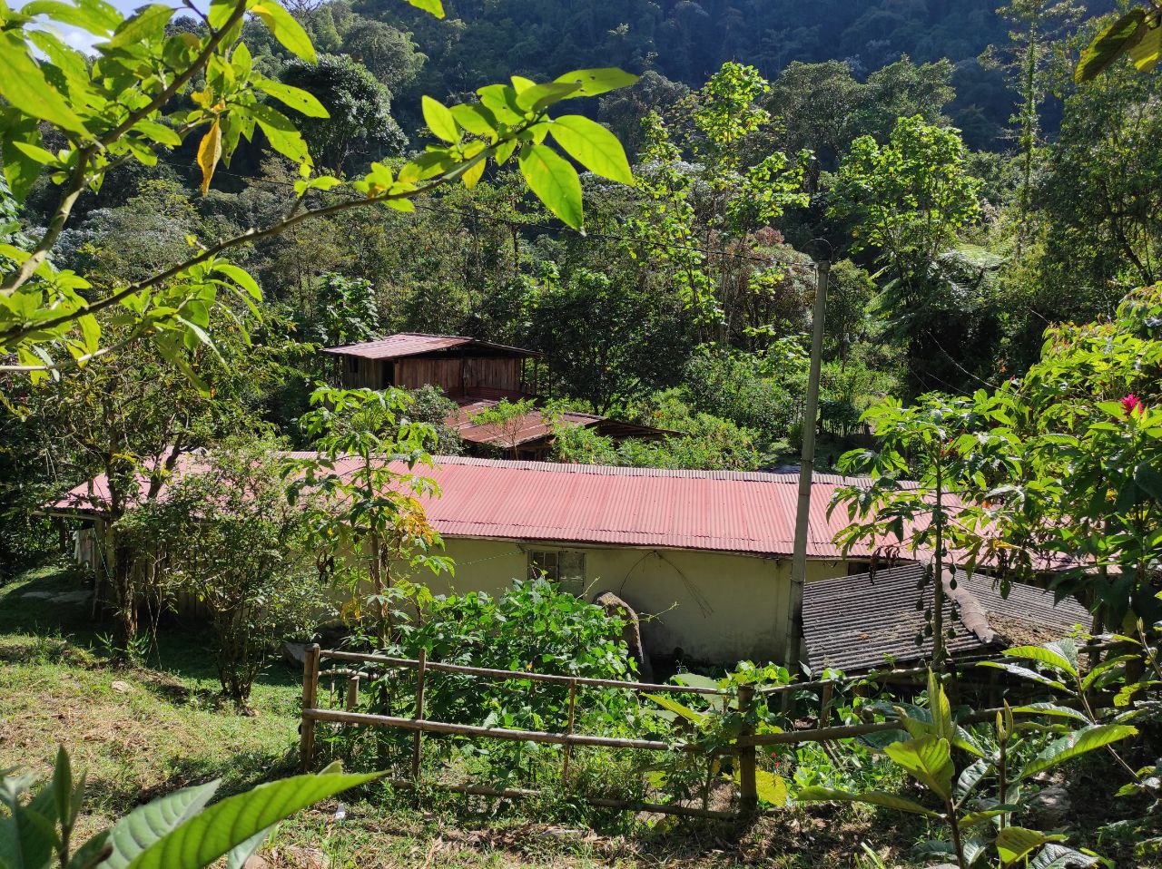
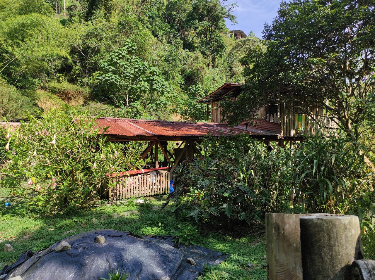
Desde aquí comienza el segundo tramo, cruzamos un puente donde el rio esta debajo de nosotros, y nos adentramos al bosque, aquí hay un lugar único, una pequeña tienda donde venden aguas aromáticas, te, y bebidas, esta justo a la mitad del camino y es ideal para tomar un descanso.
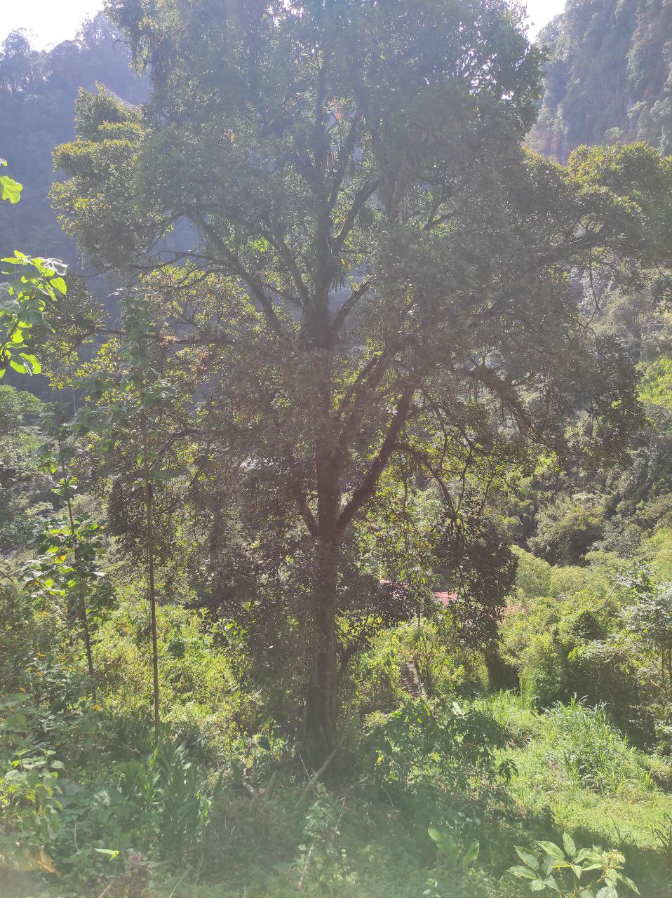
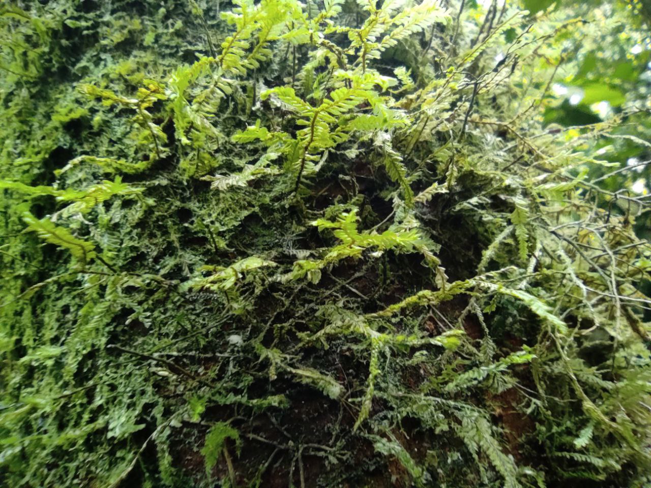
Por su puesto al adentrarse al bosque ya hay mas humedad en el ambiente, mas barro por donde caminar y hay animales, insectos y hongos, en el camino encontramos un mil pies.
From here begins the second stretch, we cross a bridge where the river is below us, and we enter the forest, here there is a unique place, a small store where they sell aromatic waters, tea, and drinks, is right in the middle of the road and is ideal for a break.
Of course as we go deeper into the forest there is more humidity in the environment, more mud to walk through and there are animals, insects and fungi, on the way we find a thousand feet.
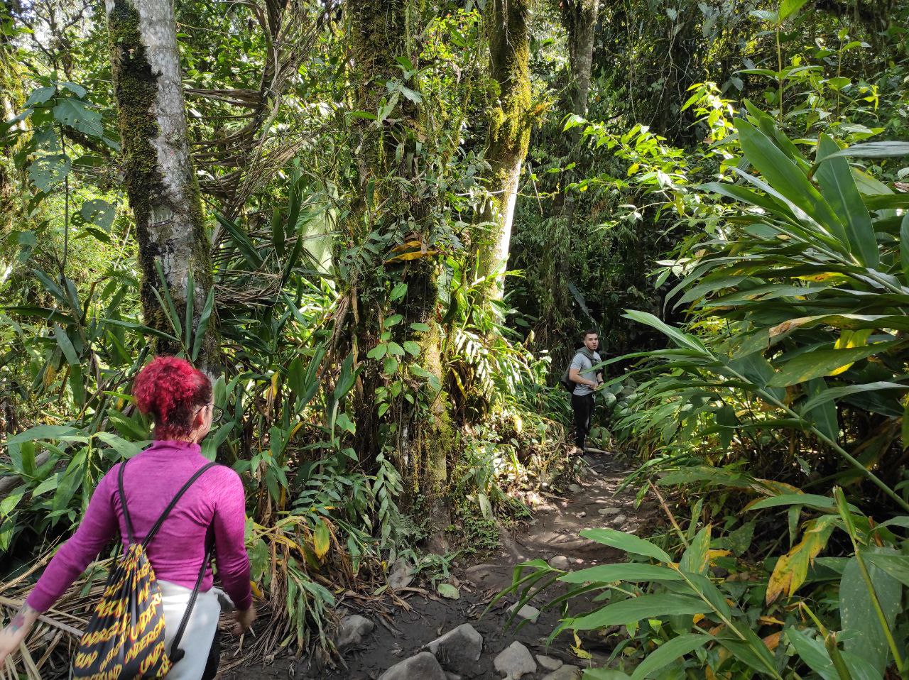
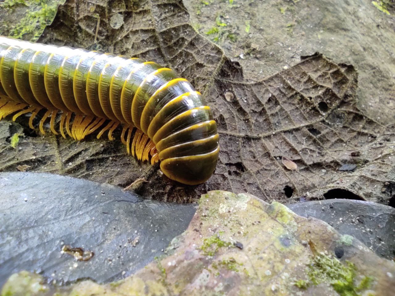
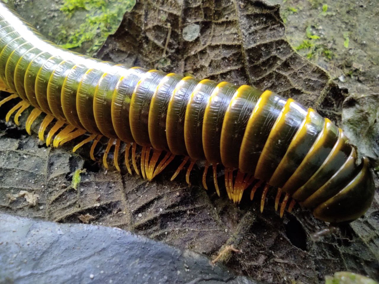
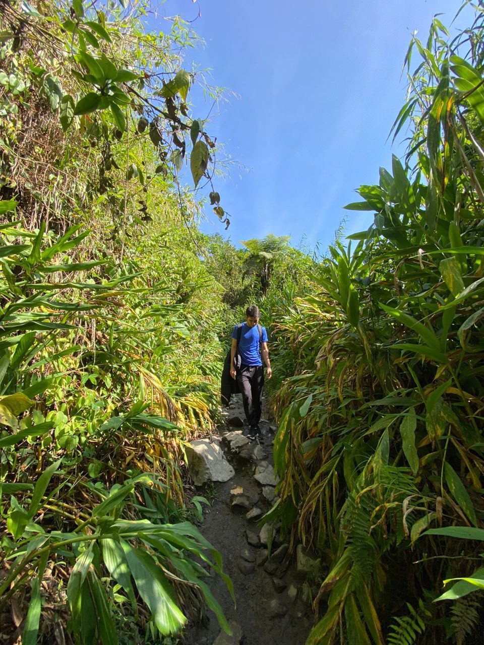
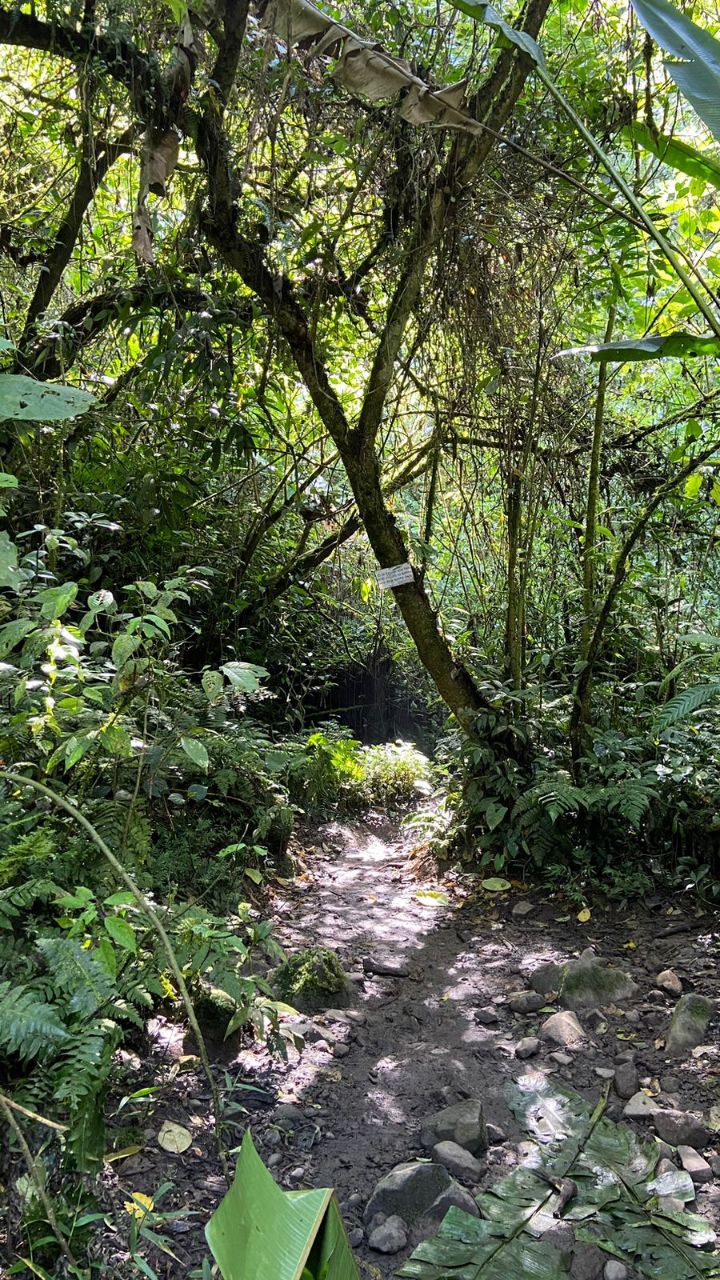
Hay un punto importante al entrar al bosque, donde hay dos vías, a la izquierda se va hacia una montaña donde entras en un cultivo de café, creo que es privado y a la derecha se va hacia el rio y el camino hacia los chorros, nosotros tomamos el camino incorrecto y luego nos regiremos por que al subir la montaña nos imaginamos que el rio no estaba en esa dirección.
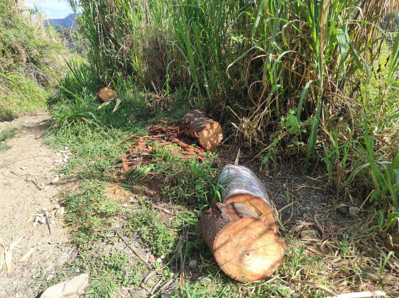
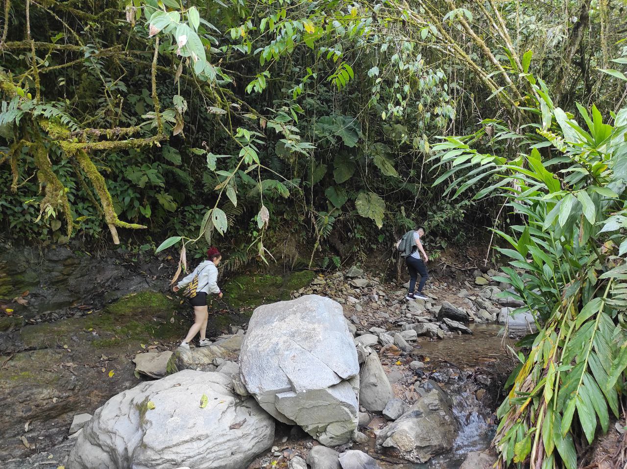
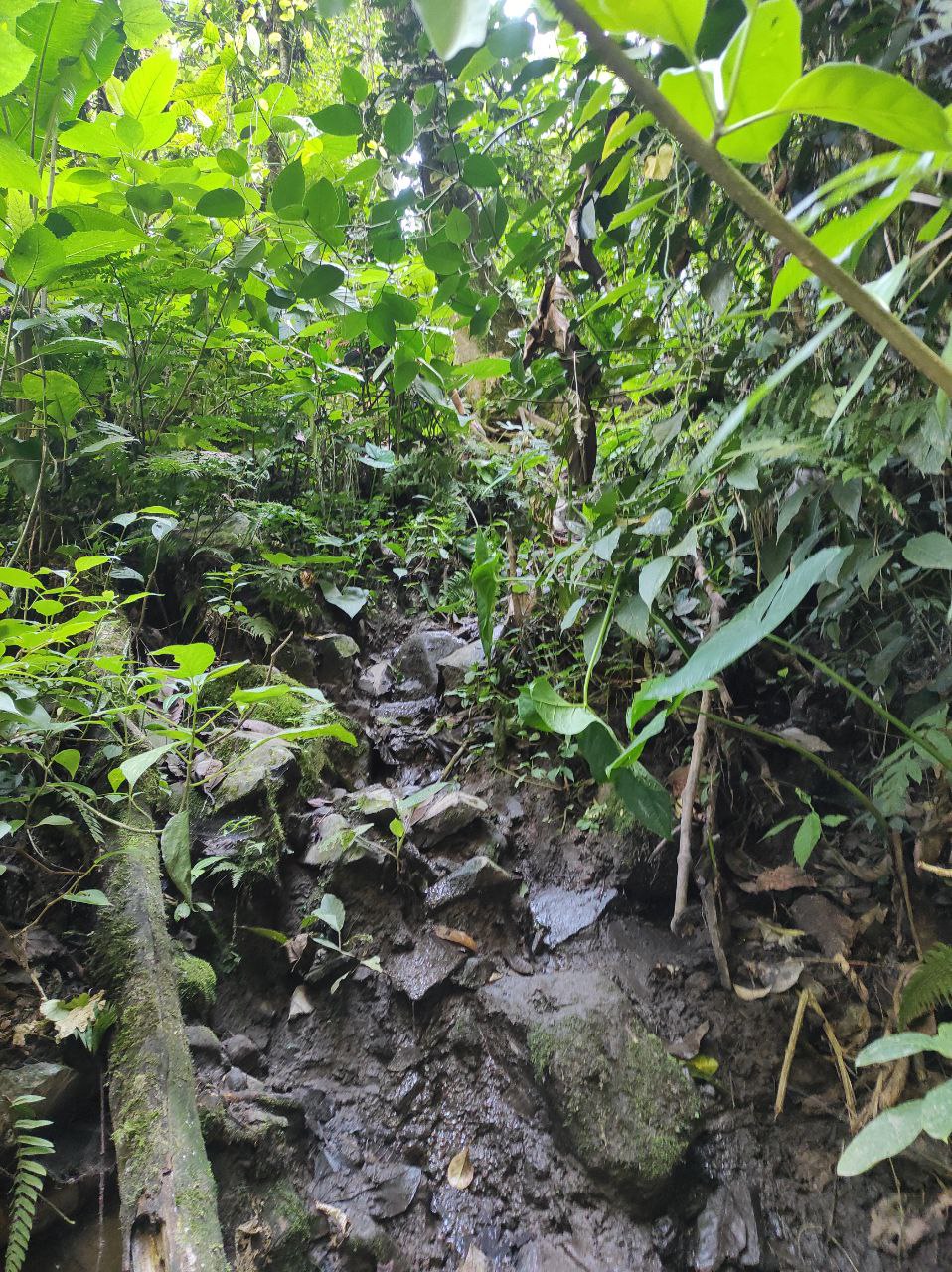
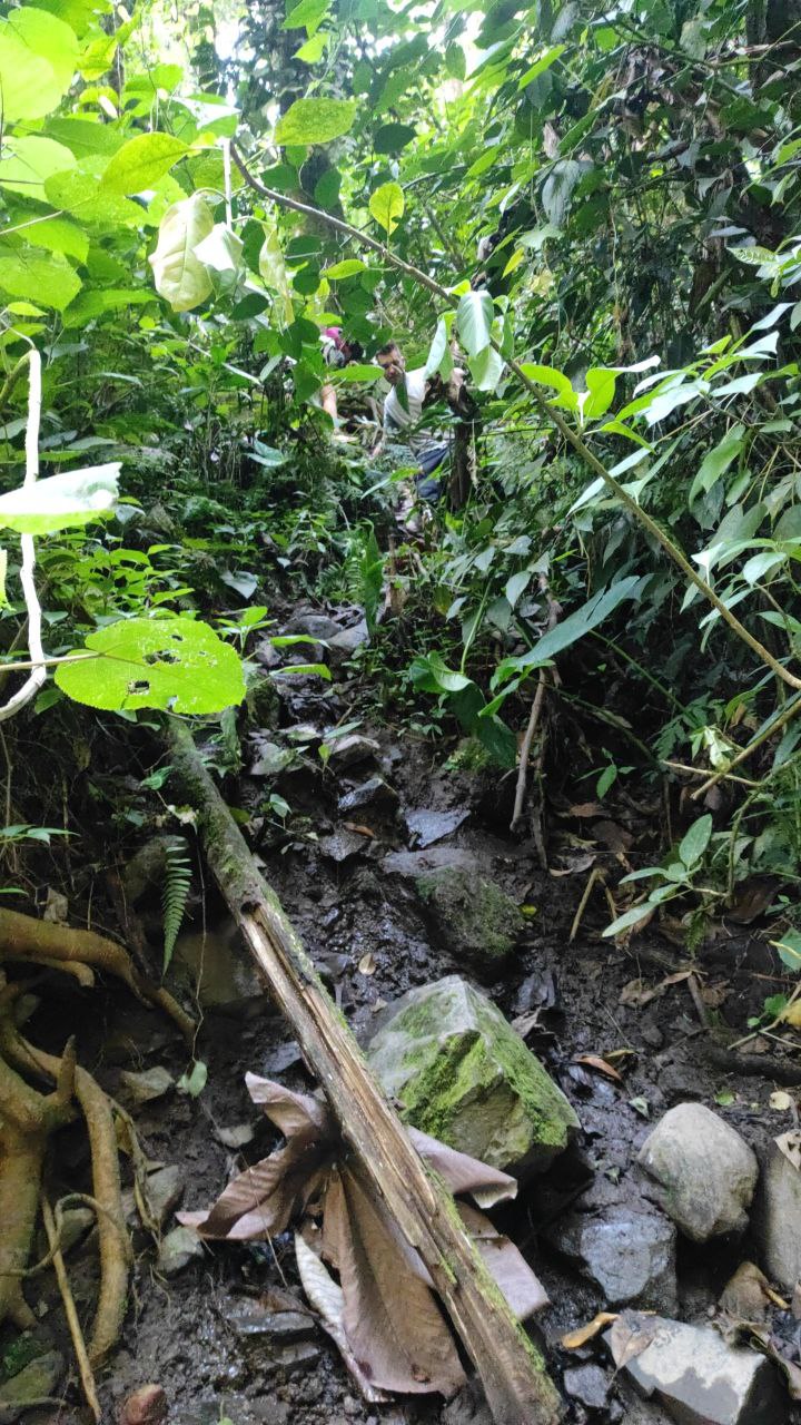
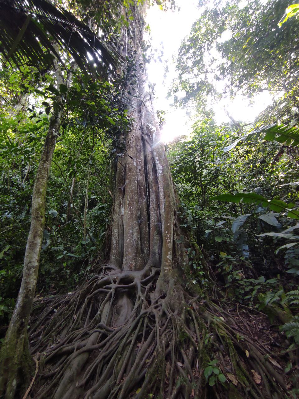
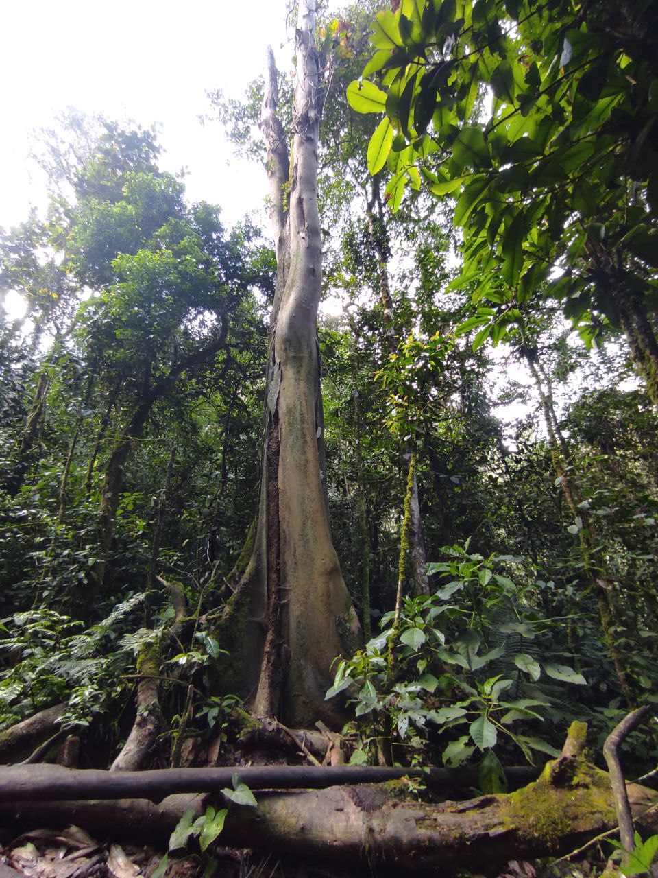
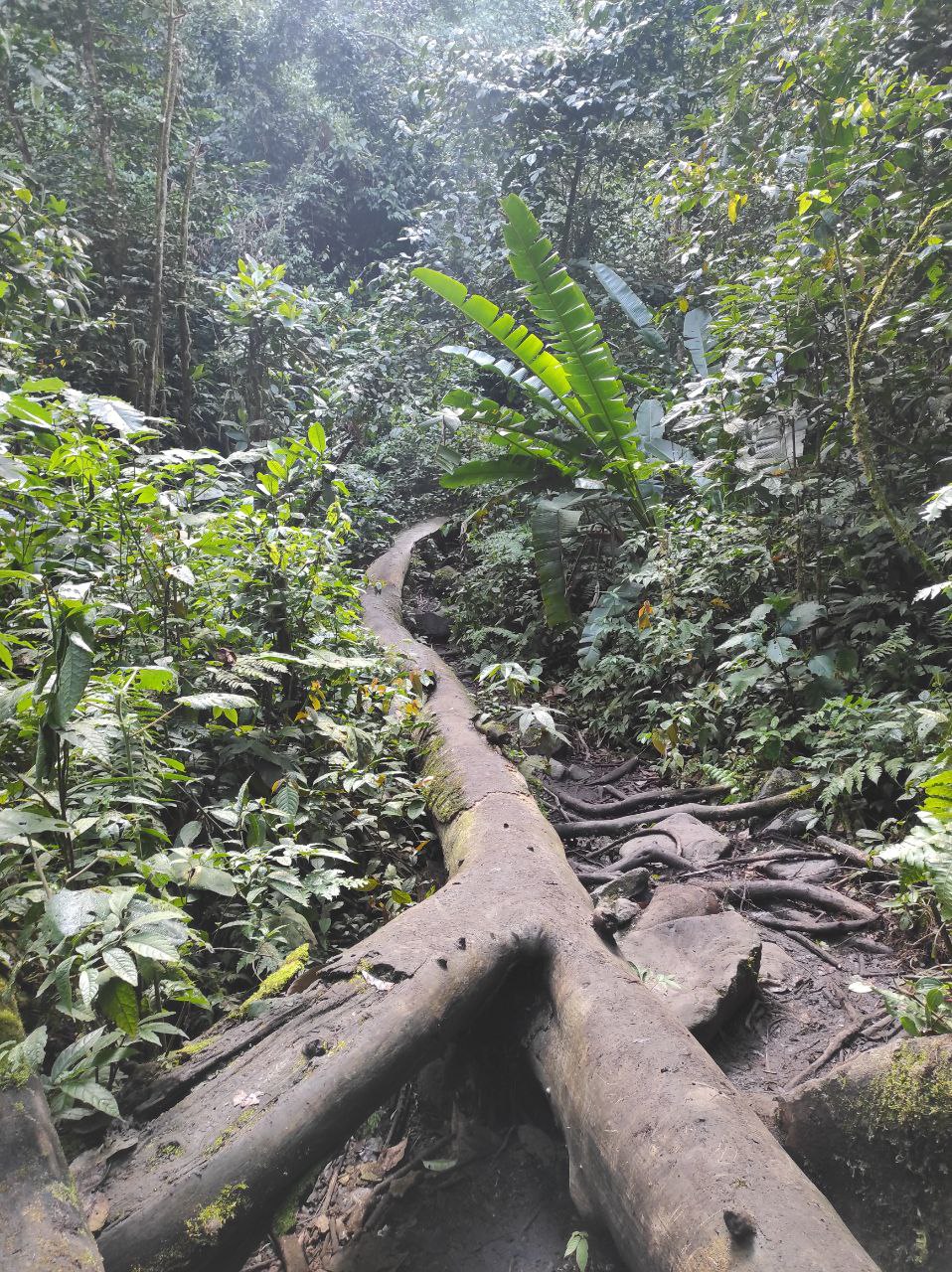
Aquí comienza el trayecto rudo del viaje, es 10/10, por que debes escalar en lugares donde hay demasiado barro y te resbalas, debes bajar sitios similares, hay un momento donde sales del bosque al rio para luego volver a retomar el bosque un poco mas adelante, hay arboles enormes en el suelo que te sirven para caminar ya que el camino es por allí, hay que tener cuidado por que hay arañas y serpientes, es un bosque por su puesto deben haber serpientes, así que hay que pisar con cuidado sobre todo en las hojas.
There is an important point when entering the forest, where there are two ways, to the left you go towards a mountain where you enter a coffee plantation, I think it is private and to the right you go towards the river and the road to the jets, we took the wrong way and then we will go back because when climbing the mountain we imagined that the river was not in that direction.
Here begins the rough part of the trip, it is 10/10, because you must climb in places where there is too much mud and you slip, you must go down similar places, there is a moment where you leave the forest to the river and then return to retake the forest a little further on, there are huge trees on the ground that serve you to walk as the road is there, you have to be careful because there are spiders and snakes, it is a forest of course there must be snakes, so you have to tread carefully especially in the leaves.
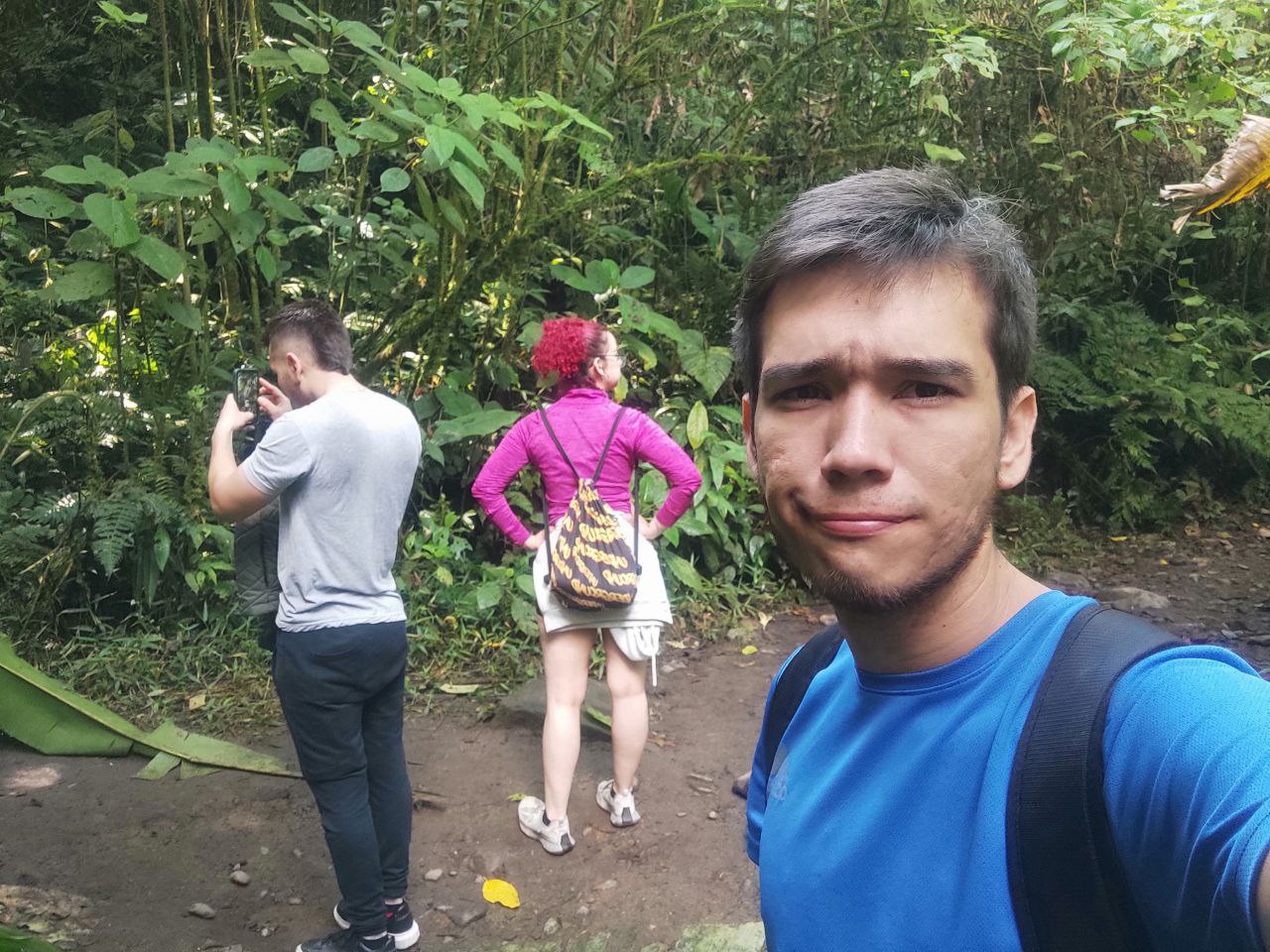
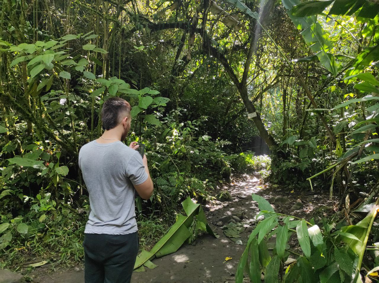
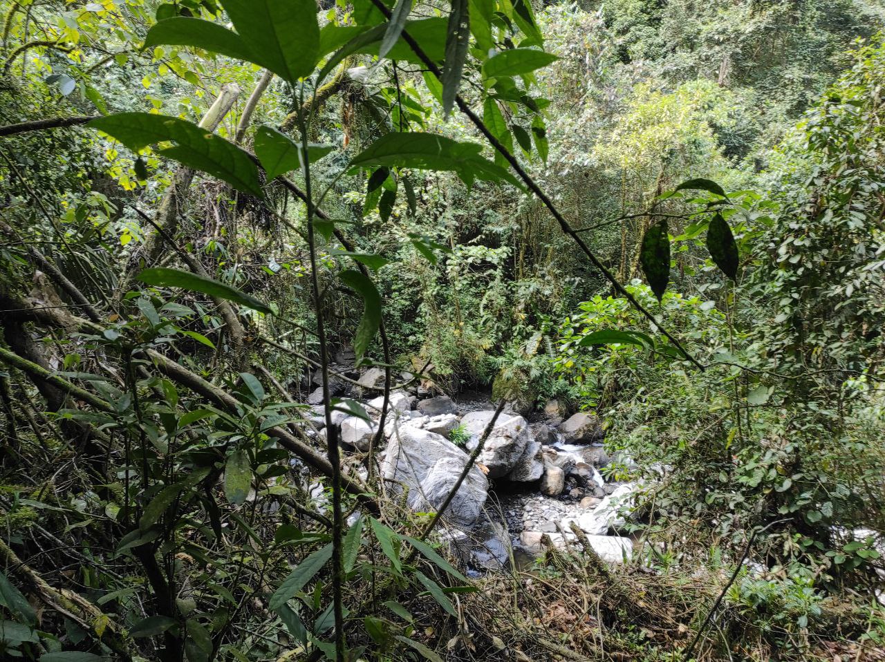
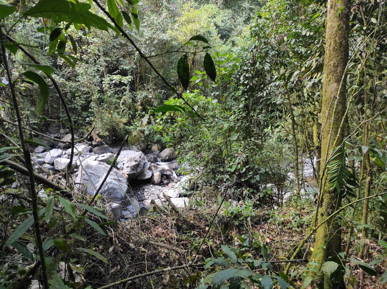
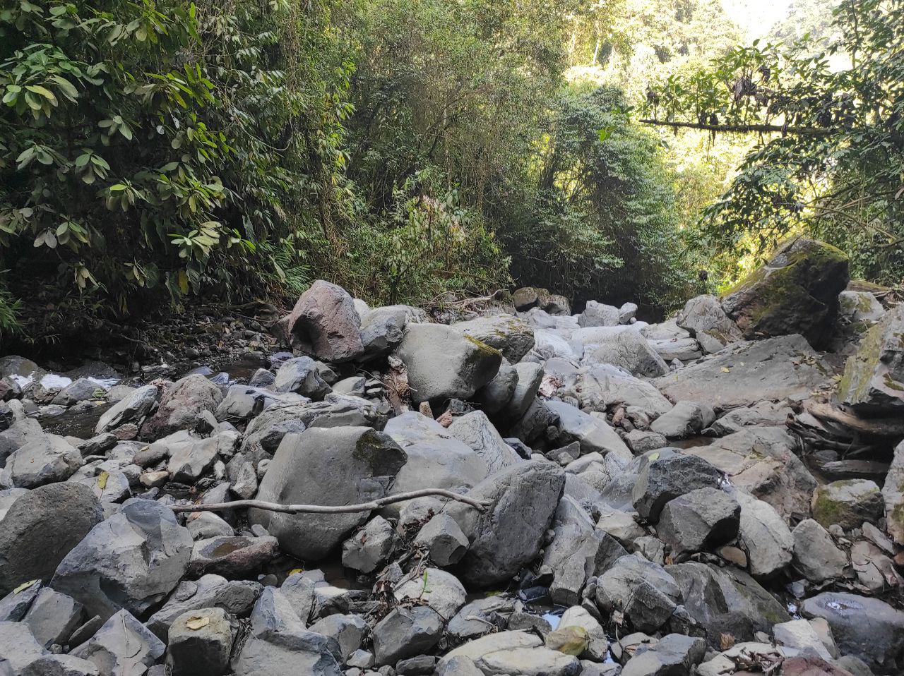
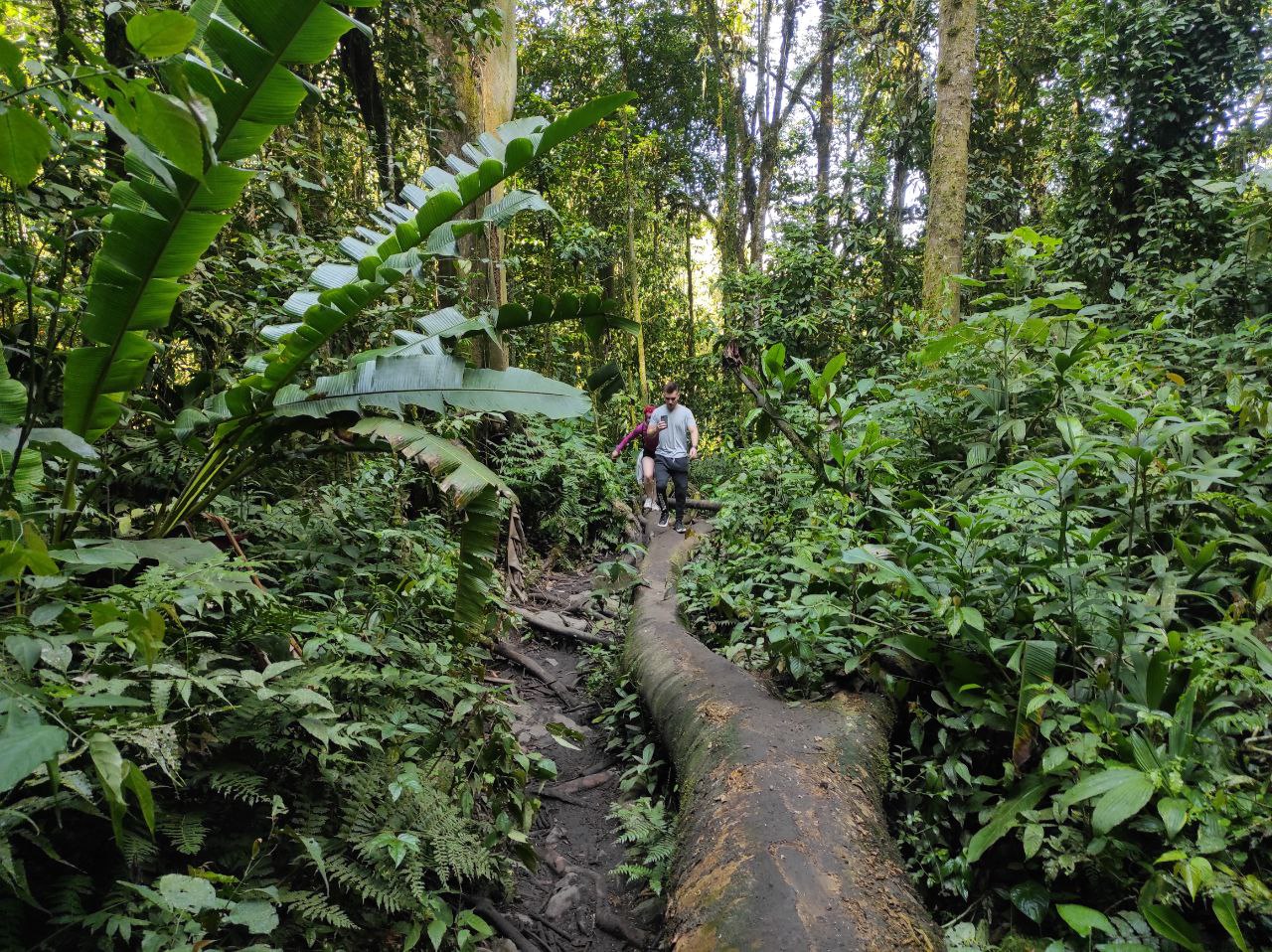
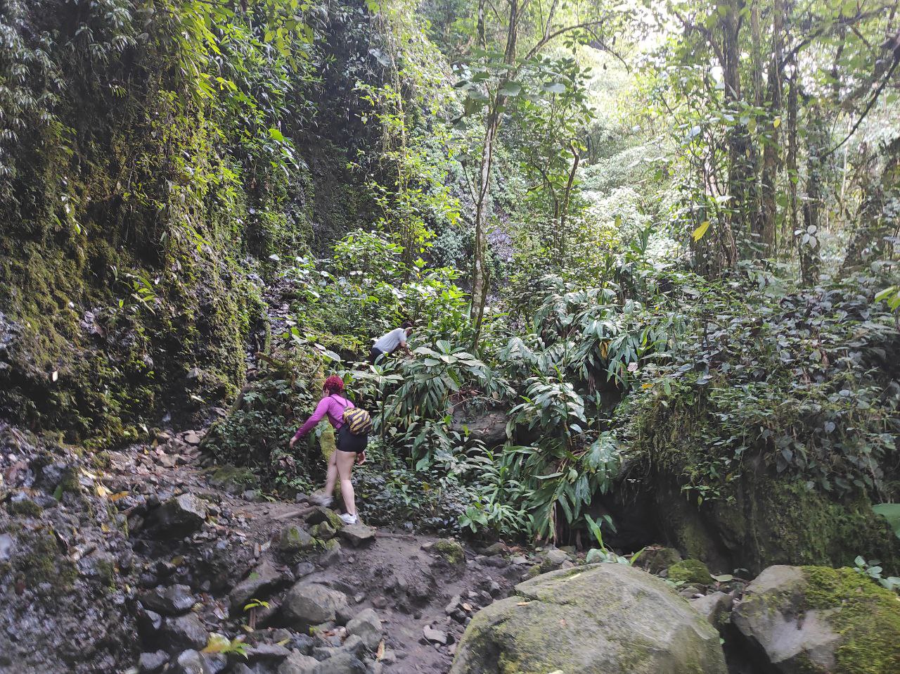
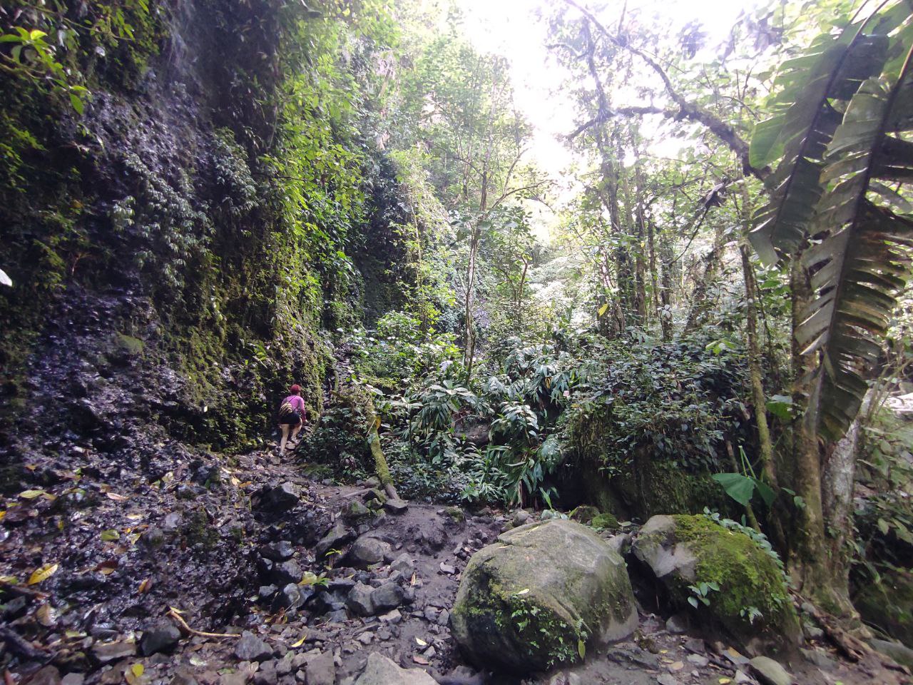
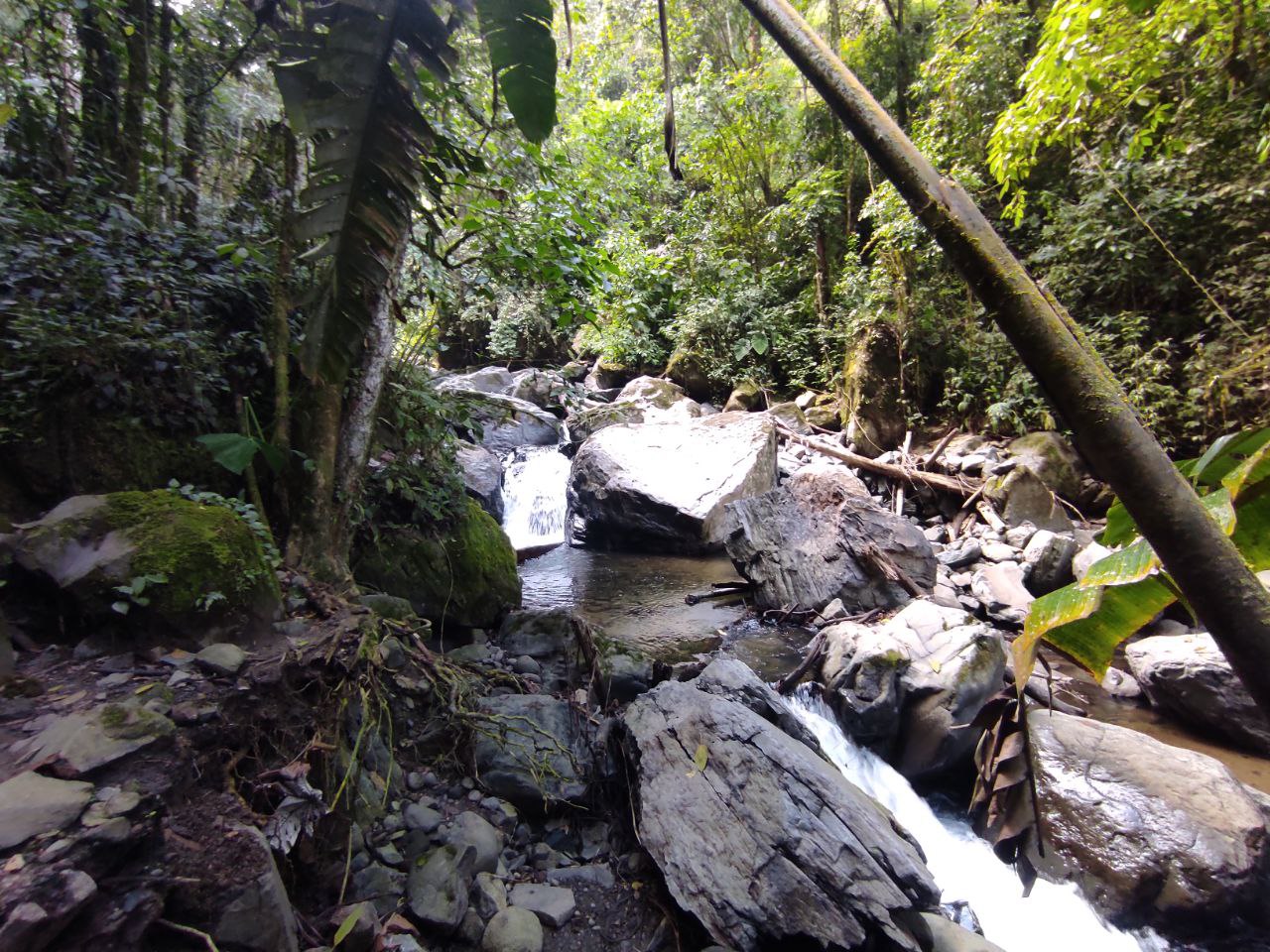
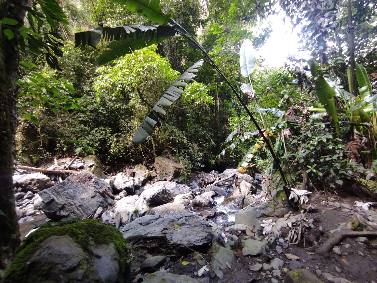
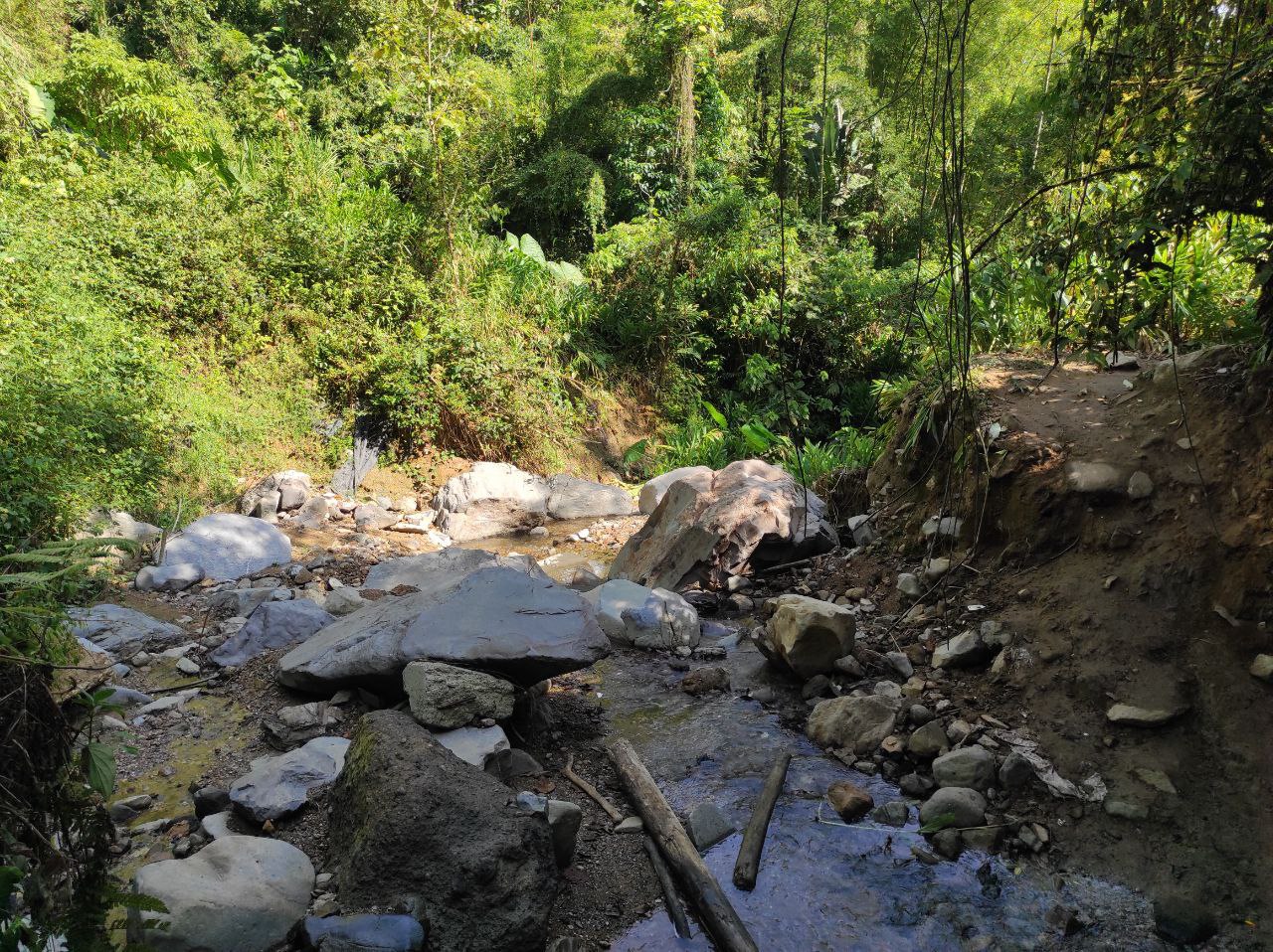
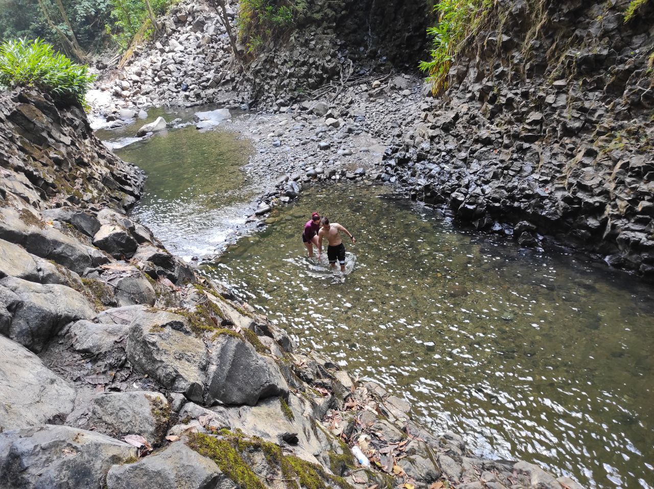
Finalmente llegamos al rio y están los pozos de agua, yo creí que habíamos llegado pero esta es solo la primera parada, un poco mas adelante se encuentra el real paraíso que es la cascada, aquí las personas se bañan para refrescarse, sin embargo no se quedan en este sitio.
Hay dos opciones seguir el camino del rio o volver entrar al bosque, nosotros hicimos el camino del bosque nuevamente.
Finally we reach the river and the water wells, I thought we had arrived but this is only the first stop, a little further on is the real paradise which is the waterfall, here people bathe to cool off, however they do not stay in this place.
There are two options, follow the river path or go back into the forest, we took the forest path again.
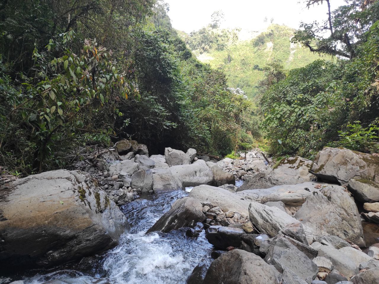
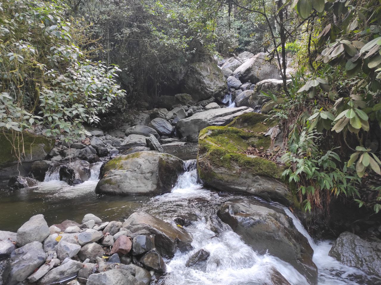
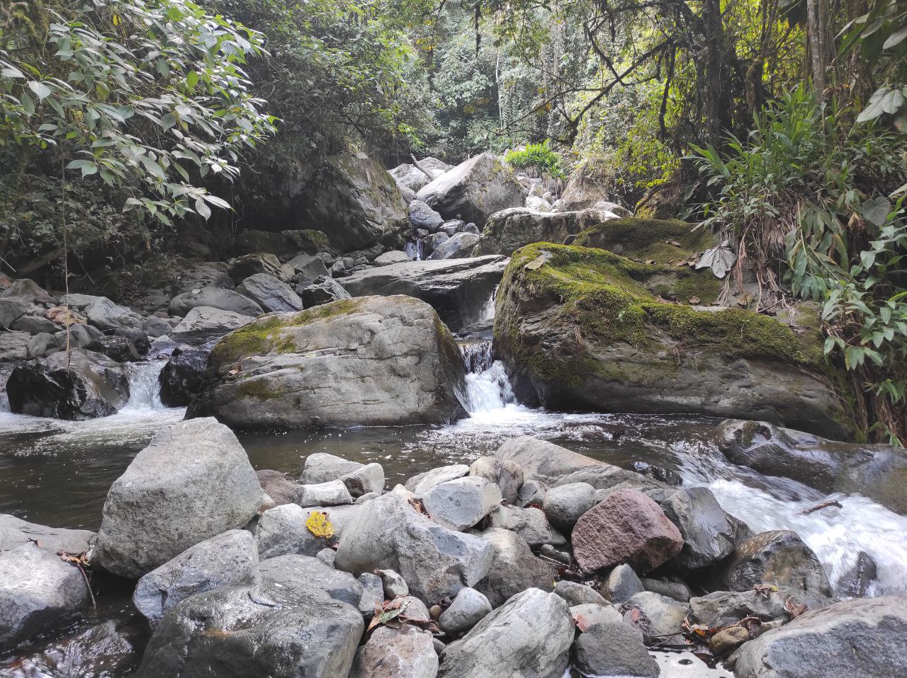
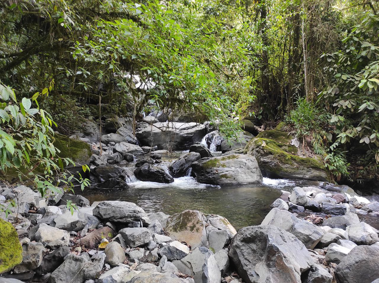
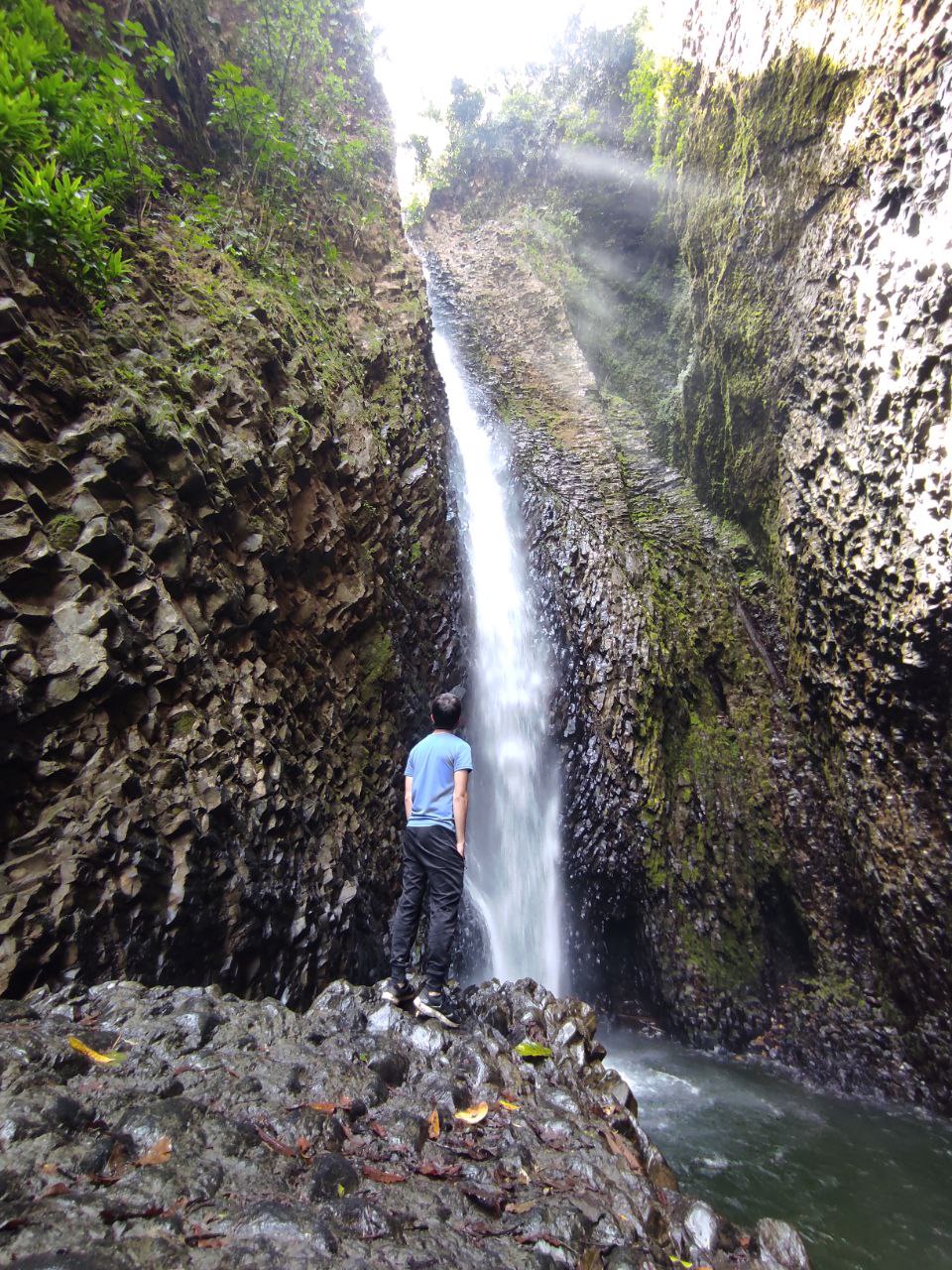
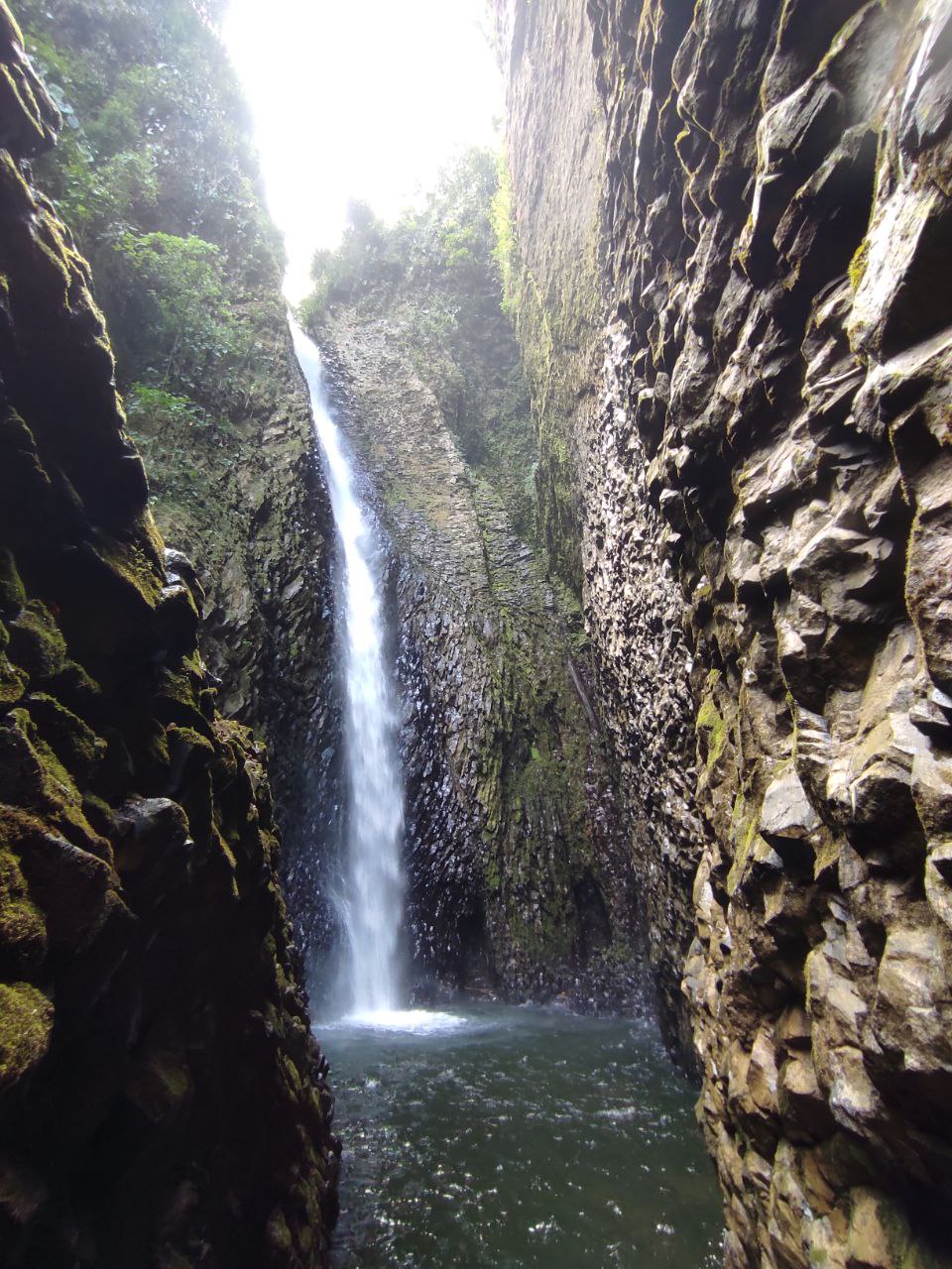
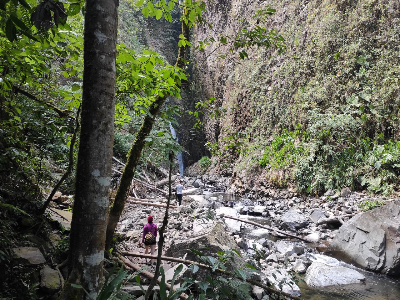
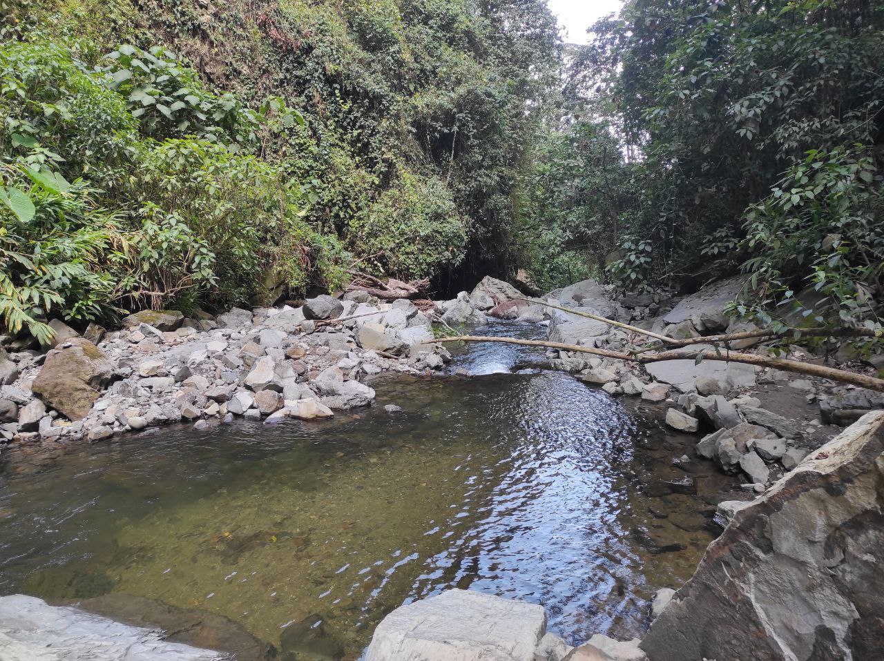
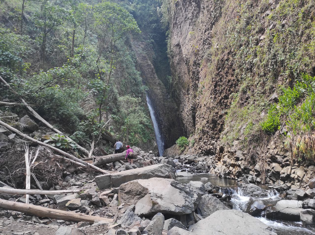
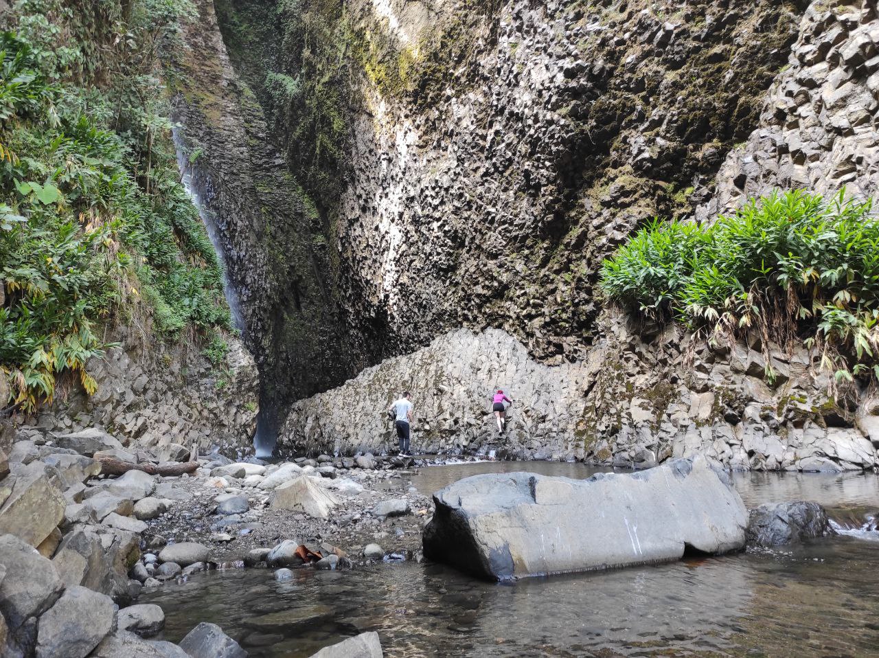
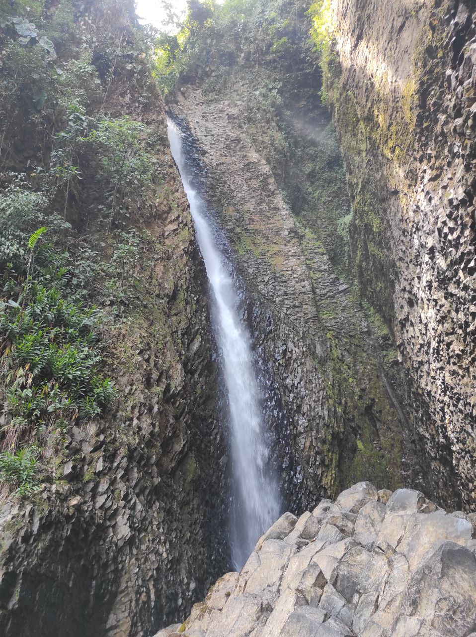
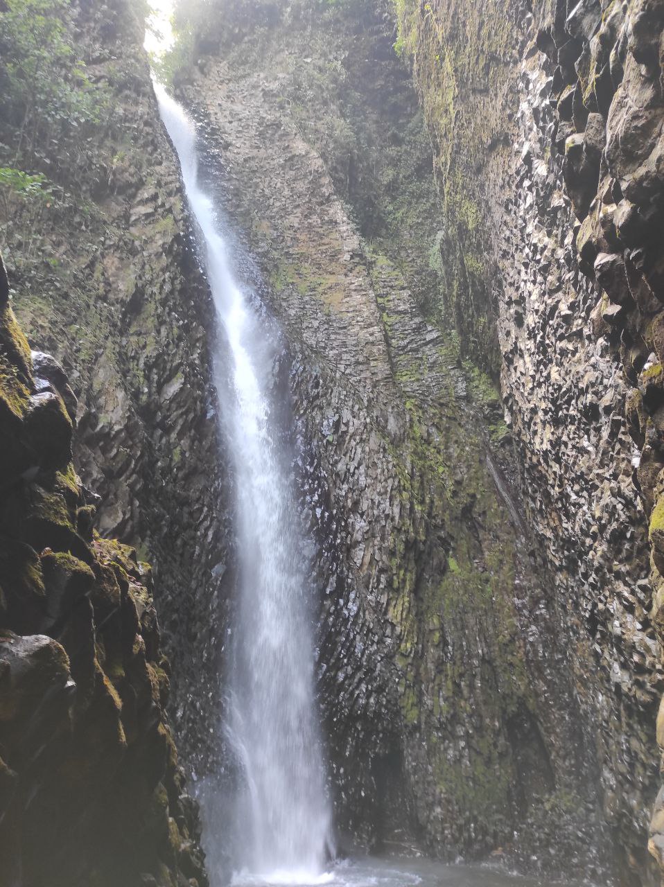
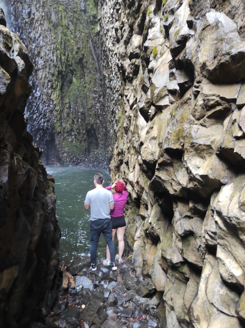
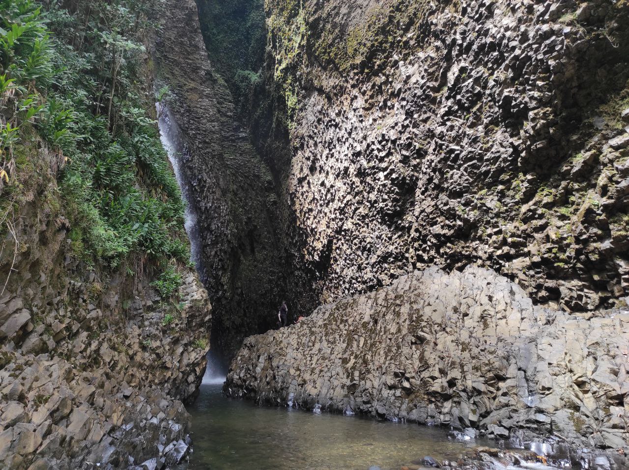
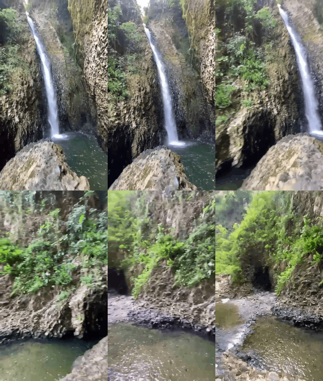
Destino final cascada chorros de don lolo, el nombre se debe al cause del rio que se divide en varios puntos por las rocas y por eso le dicen así. Aquí la cascada se oye mucho y el agua es cristalina pero muy fría, demasiado para mi gusto, yo me bañe un pequeño rato, no podía con el frio.
Este el ultimo punto explorado por personas, ya subir a la cascada requiere de una persona experimentada y no muchos lo han hecho.
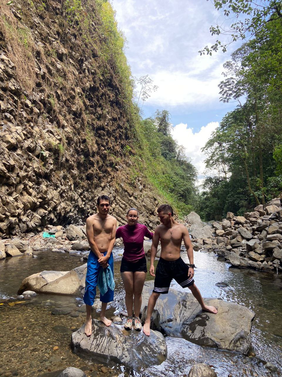
El lugar es super lindo y es ideal para pasar un buen rato, aquí todos llegan después de las 11am, nosotros llegamos mas temprano para evitar ir con muchas personas, al momento de estar allí llegaron varios grupos de viajeros y en nuestro camino de regreso iban mas personas.
Final destination Chorros de Don Lolo waterfall, the name is due to the cause of the river that is divided in several points by the rocks and that's why they call it that way. Here the waterfall can be heard a lot and the water is crystal clear but very cold, too cold for my taste, I bathed a little while, I could not with the cold.
This is the last point explored by people, since climbing the waterfall requires an experienced person and not many have done it.
The place is super nice and is ideal for a good time, here everyone arrives after 11am, we arrived earlier to avoid going with many people, at the time we were there several groups of travelers arrived and on our way back there were more people.
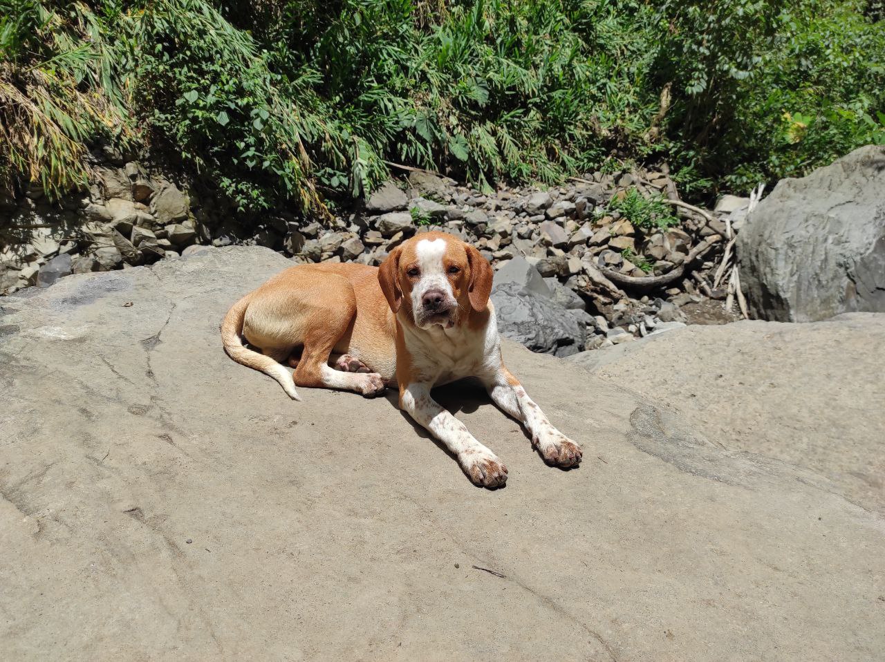
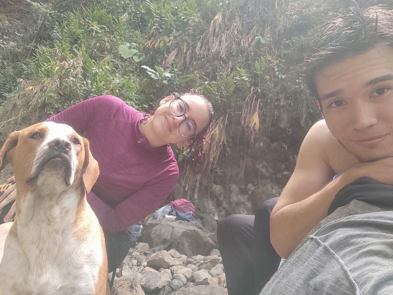
Al momento de regresar encontramos un perrito que salía del bosque, estaba acompañando a unos viajeros pero mientras comíamos se acerco a nosotros y nos tomamos algunas fotografías.
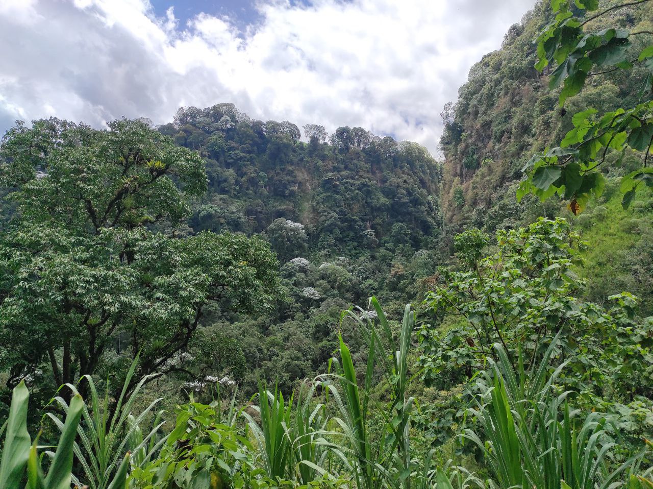
El camino de regreso fue horrible, fue de casi dos horas, pues ahora teníamos que subir todo lo que habíamos bajado fácil en un principio, yo fui el ultimo en llegar por que me dolían mucho las piernas, en el camino me percate que habían arboles con flores blancas en todas las montañas, algo muy bonito de ver.
On the way back we found a little dog coming out of the forest, he was accompanying some travelers but while we were eating he approached us and we took some pictures.
The way back was horrible, it was almost two hours, because now we had to climb all that we had descended easy at first, I was the last to arrive because my legs hurt a lot, on the way I noticed that there were trees with white flowers in all the mountains, something very nice to see.
Una experiencia única e increíble de un lugar que realmente vale la pena visitar.
Nos vemos en la próxima.
A unique and incredible experience of a place that is really worth visiting.
See you next time.
Congratulations, your post has been added to Pinmapple! 🎉🥳🍍
Did you know you have your own profile map?
And every post has their own map too!
Want to have your post on the map too?
Un recorrido largo y difícil pero vale la pena, que lugar tan maravilloso, se nota que lo disfrutaste. Eso es genial!
Muchas gracias, siii el recorrido es bonito pero muy cansón, pero valió la pena
¡Me encantan este tipo de rutas! Muy bello el lugar, y qué risa la expresión del perrito en la segunda foto jajajaja
Parce el camino es largoooo, yo llegué llorando literal, pero es súper bellos.
Jajajaja el perrito posaba en cada foto
Los que nos dejan así son los caminos que más se recuerdan jajaja