Climbing Santa Ana hill, the highest point of the Paraguaná Peninsula - Venezuela / Subiendo al cerro Santa Ana, el punto más alto de la Península de Paraguaná - Venezuela
Cuando me anoté a este viaje por una de las zonas más interesantes del estado Falcón, la península de Paraguaná, lo que me hizo decidirme a ir fue que íbamos a subir al cerro Santa Ana. Ya conocía la mayoría de los lugares que visitamos, pero me faltaba este, y como amante del montañismo que soy no podía dejar pasar esta oportunidad.
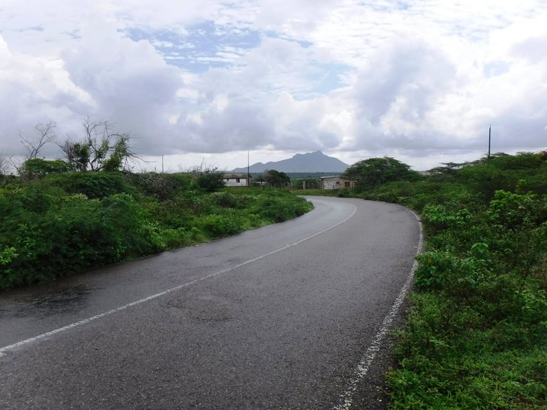
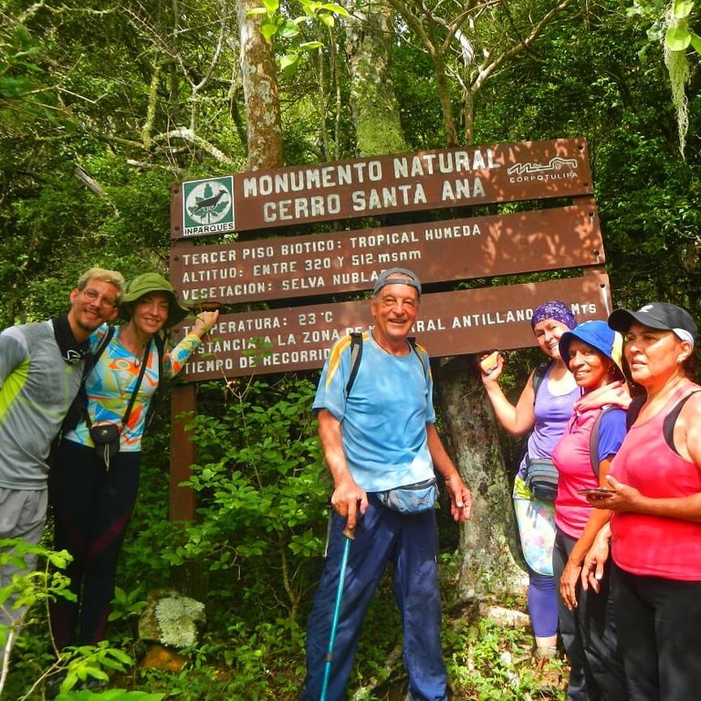
From Adícora, where we were staying, we left for Santa Ana de Paraguaná, which is about 30 km away. The sky was cloudy, which meant some coolness for this route in an area characterized by being very hot. We arrived in town and our bus dropped us off at the Inparques (National Parks Institute) module, where we had to notify the park rangers that we would be hiking the mountain.
Desde Adícora, donde nos estábamos quedando, salimos para Santa Ana de Paraguaná, que queda a unos 30 Km. El cielo estaba nublado, lo que significaba algo de frescura para esta ruta en una zona caracterizada por ser muy calurosa. Llegamos al pueblo y nuestro autobús nos dejó en el módulo de Inparques (Instituto Nacional de Parques), donde hay que notificar a los guardaparques que haremos la excursión a la montaña.
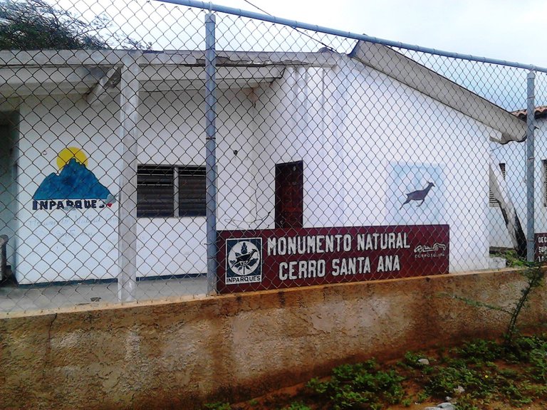
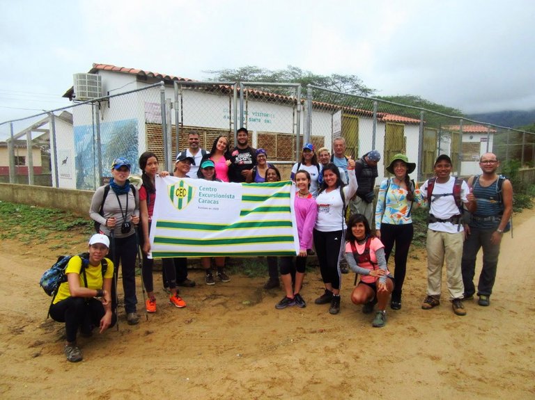
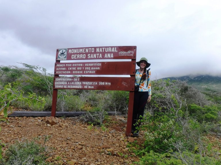
Santa Ana hill, declared a Natural Monument in 1972, consists of 1,900 hectares and with its 830 meters above sea level (masl) is the only elevation of the Paraguaná Peninsula. At 9:00 in the morning we start our hike, in this first part the path is clear, that is to say, you can see a path marked on the ground.
El cerro Santa Ana, declarado como Monumento Natural en 1972, está constituido por 1.900 hectáreas y con sus 830 metros sobre el nivel del mar (msnm) es la única elevación de la península de Paraguaná. A las 9:00 de la mañana iniciamos nuestra caminata, en esta primera parte el sendero está claro, es decir se ve un camino marcado en el suelo.
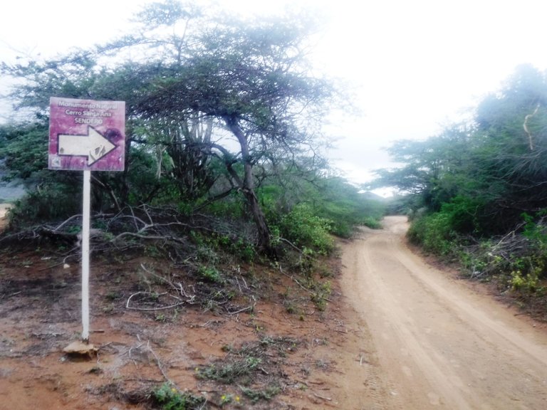
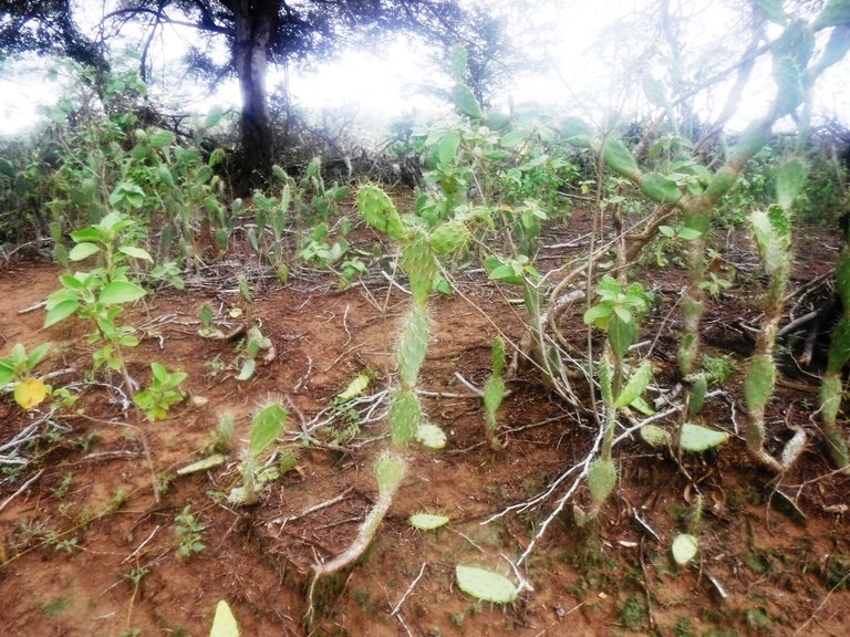
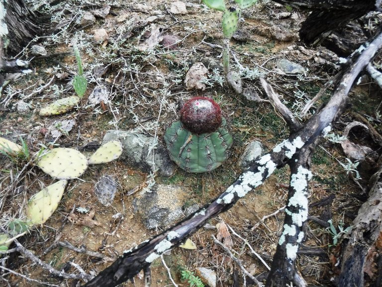
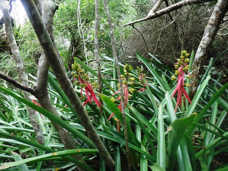
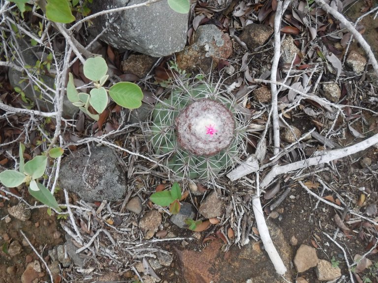
During the excursion we pass through the different biotic floors that exist here and change according to the altitude, there are five: Xerophytic Forest, Tropophilous Forest, Cloud Forest, Antillean Scrub and Pseudo moor. In the first one we see plants that subsist with very little water such as prickly pears, bromeliads, cactus, cují trees (Prosopis juliflora), cardones (columnar cacti), among others.
Durante la excursión vamos pasando por los distintos pisos bióticos que existen acá y cambian según la altitud, son cinco: Bosque Xerófito, Bosque Tropófilo, Selva Nublada, Matorral Antillano y Pseudopáramo. En el primero vemos plantas que subsisten con muy poca agua como las tunas, bromelias, cactus, árboles de cují, cardones, entre otras.
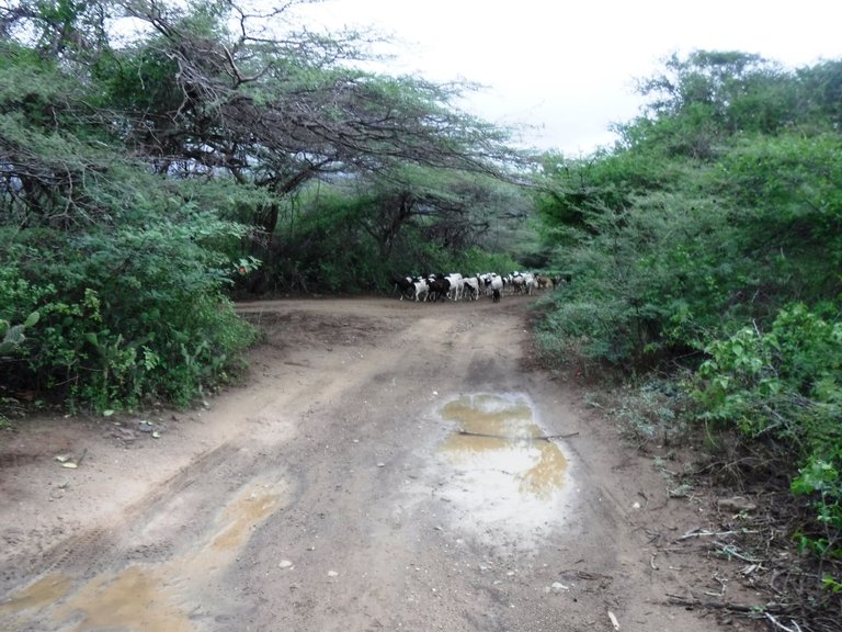
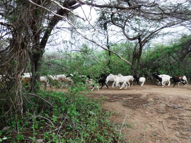
Although this area is protected, there are some hamlets, on the way we came across a herd of goats, animals that are raised in many parts of Falcon state, are famous throughout Venezuela cheeses and sweets made with goat's milk from this region.
Aunque esta zona está protegida, hay algunos caseríos, en el camino nos topamos con una manada de cabras, animales que son criados en muchas partes del estado Falcón, son famosos en toda Venezuela los quesos y dulces hechos con leche de cabra de esta región.
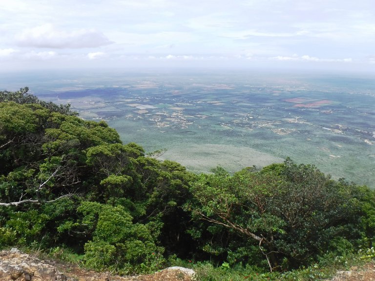
As you advance it is fascinating to see the greenness of the landscape, a total contrast when compared to the desert-like Paraguaná Peninsula, which is why this place is an important reserve of the flora and fauna characteristic of the area and that is currently only seen here and in the Montecano Biological Reserve.
A medida que avanzas es fascinante ver el verdor del paisaje, un contraste total al compararlo con lo desértica que es la península de Paraguaná, por eso este lugar es una importante reserva de la flora y fauna características de la zona y que actualmente sólo se ve aquí y en la Reserva Biológica Montecano.
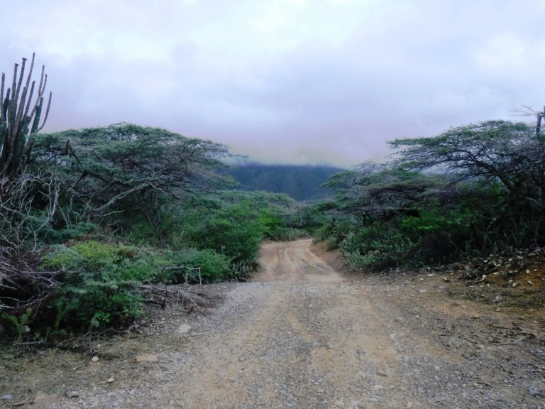
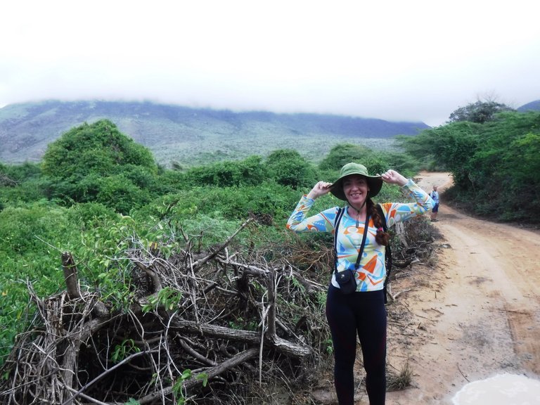
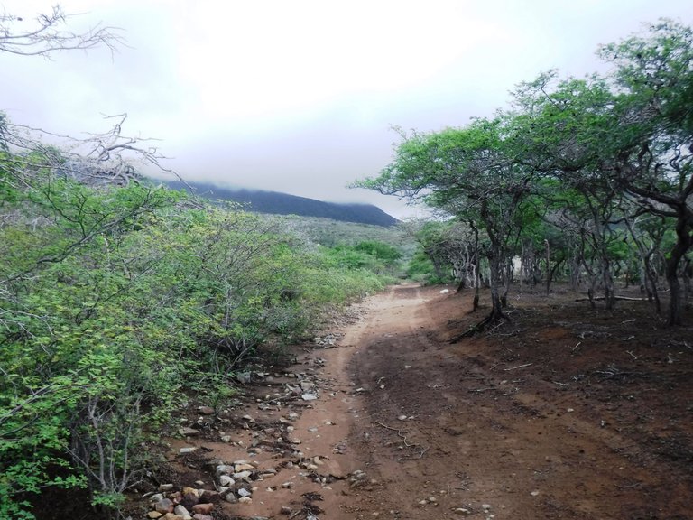
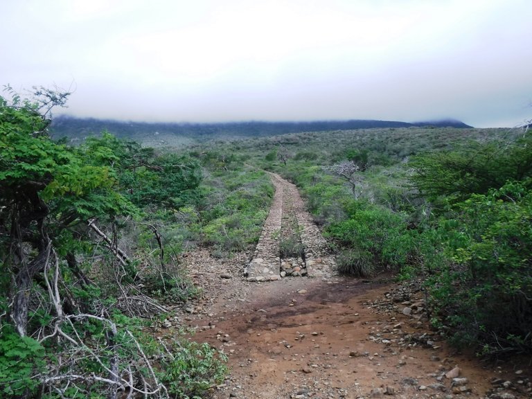
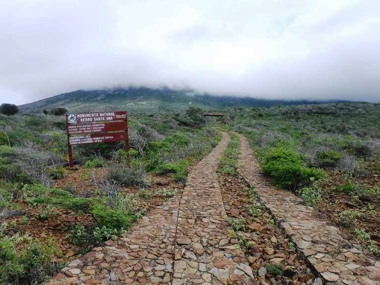
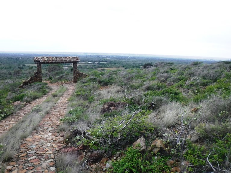
After about half an hour walking, a small stretch of road built with flagstones appears, I guess they did it to access with vehicles to this part where the terrain is very rocky.
Luego de aproximadamente media hora caminando, aparece un pequeño tramo de vía construida con piedras lajas, supongo que lo hicieron para acceder con vehículos hasta esta parte donde el terreno es muy rocoso.
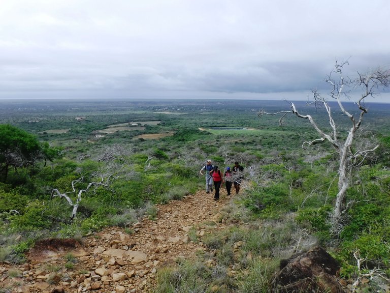
We then reached a certain altitude and were able to have a panoramic view of the surroundings of Santa Ana hill.
Alcanzamos luego cierta altura y pudimos tener una panorámica de los alrededores del cerro Santa Ana.
We continued our ascent and came across a sign indicating the presence of petroglyphs, which according to studies were made by the Caquetíos, an aboriginal population that inhabited the Paraguaná peninsula.
Continuamos el ascenso y nos topamos con un cartel que nos indicaba la presencia de petroglifos, hechos según estudios por los Caquetíos, población aborigen que habitaba la península de Paraguaná.
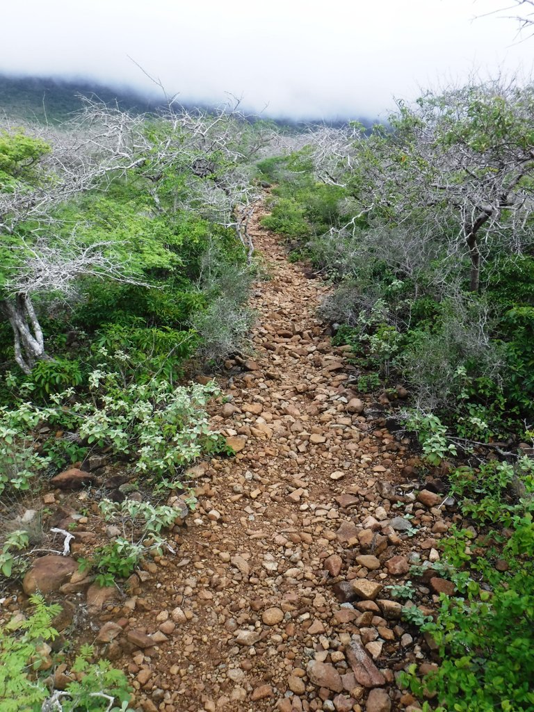
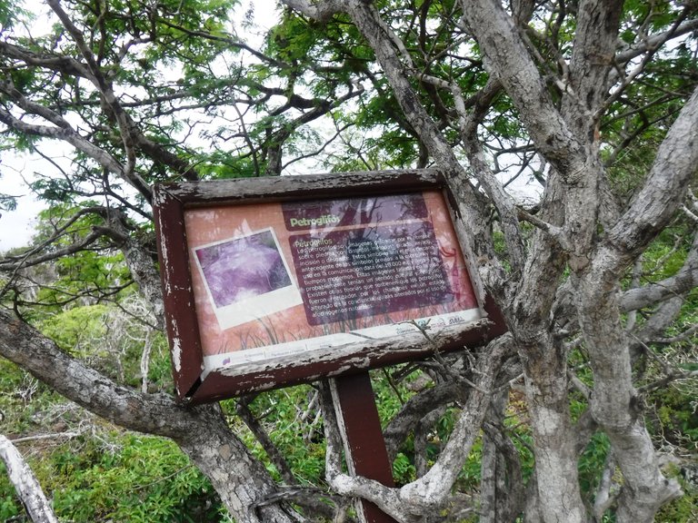
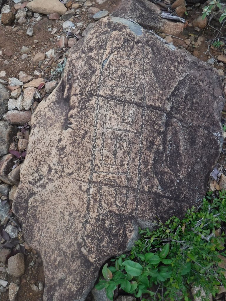
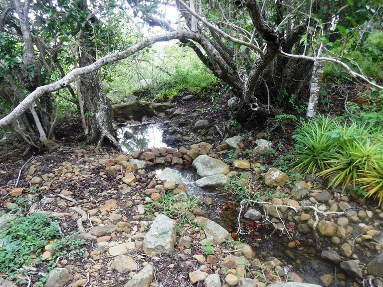
We were already walking among tall trees and reaching the part of the cloud forest with its humid but cool environment and somewhat slippery soils. Here we got a kind of water tank and a stream, this mountain is a great source of water for the area.
Ya andábamos entre árboles altos y llegando a la parte de la selva nublada con su entorno húmedo pero fresco y suelos algo resbalosos. Por aquí nos conseguimos una especie de tanque de agua y un riachuelo, esta montaña es una gran fuente hídrica para la zona.
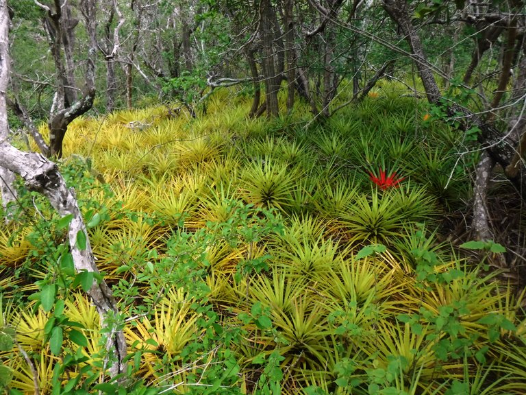
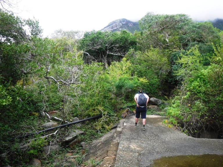
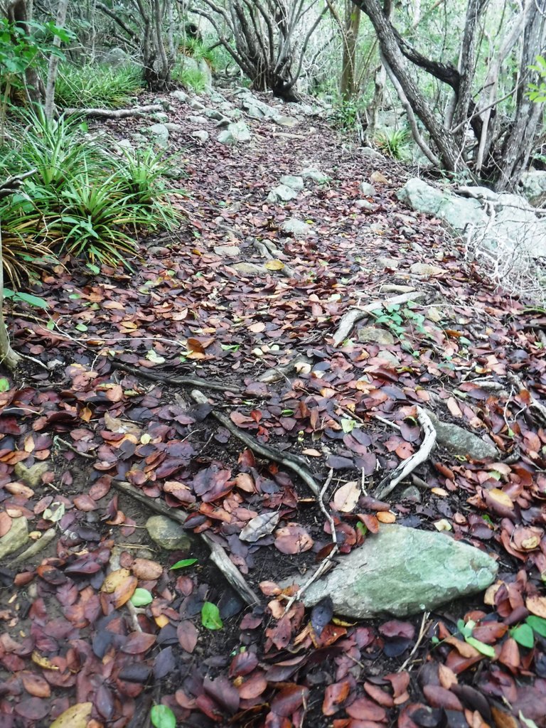
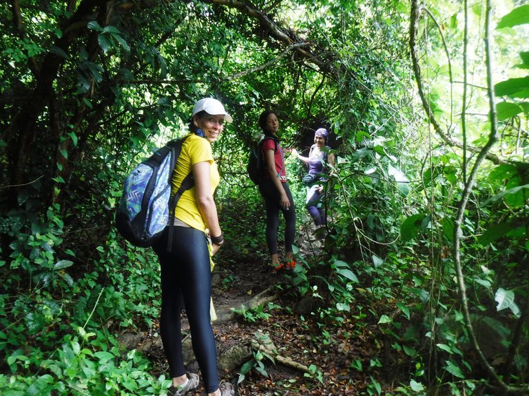
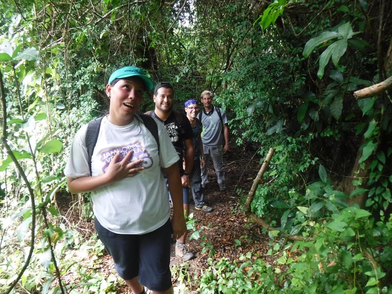
It's important to come with someone who knows the trail because at a certain point the vegetation becomes very thick and if you don't know it's easy to get lost.
Es importante venir con alguien que conozca el camino porque en cierto punto la vegetación se vuelve muy espesa y si no conoces es fácil que te pierdas.
As for the fauna, like the plants there is great diversity here, although I didn't manage to photograph them I saw several types of birds, some lizards and insects. However there is much more as explained by some signs along the way, such as wild rabbits, ounces, ocelots and rodents like the backpacker mouse, which I thought was a very funny name.
En cuanto a la fauna, al igual que las plantas hay gran diversidad aquí, aunque no logré fotografiarlos vi varios tipos de aves, algunas lagartijas e insectos. Sin embargo hay mucho más según explican algunos carteles que hay en el camino, como conejos de monte, onzas, cunaguaros y roedores como el ratón mochilero, que me pareció un nombre muy gracioso.
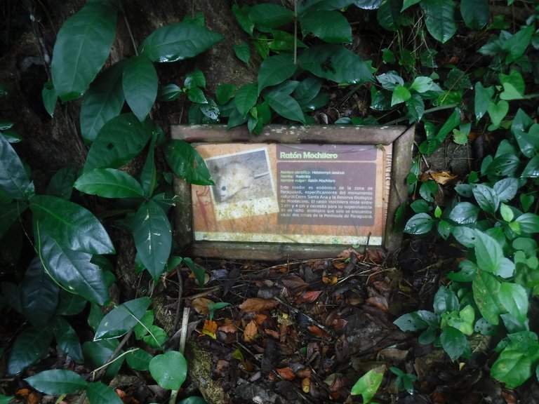
The most famous animals around here are the blue tarantula, the Hueque scorpion, the giant scolopendra, iguanas, the matacán deer, the opossum, the marmosa xerophila (a kind of marsupial) and snakes such as the false mapanare, rattlesnakes, bejuca, among others. Unfortunately it's not easy to see them, when they notice human presence they hide, so the vegetation is the one that attracts attention.
Los animales más famosos por aquí son la tarántula azul, el escorpión de Hueque, la escolopendra gigante, iguanas, el venado matacán, la zarigüeya, la marmosa xerophila (una especie de marsupial) y serpientes como la falsa mapanare, cascabeles, bejuca, entre otras. Lamentablemente no es fácil verlos, cuando se percatan de la presencia humana se esconden, así que la vegetación es la que acapara la atención.
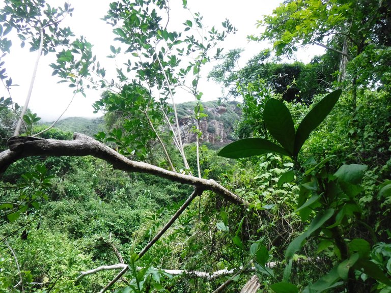
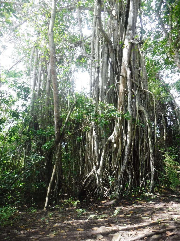
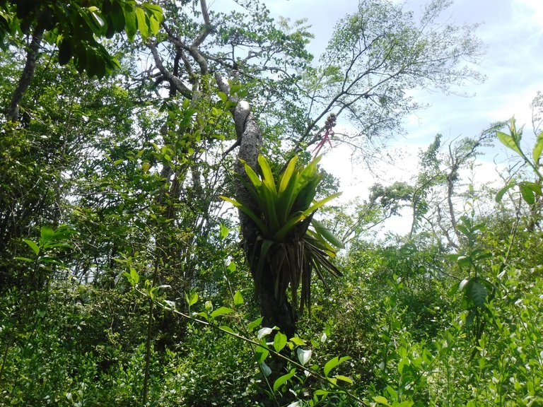
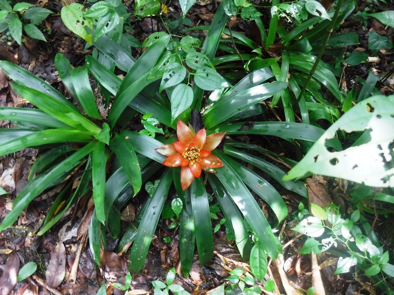
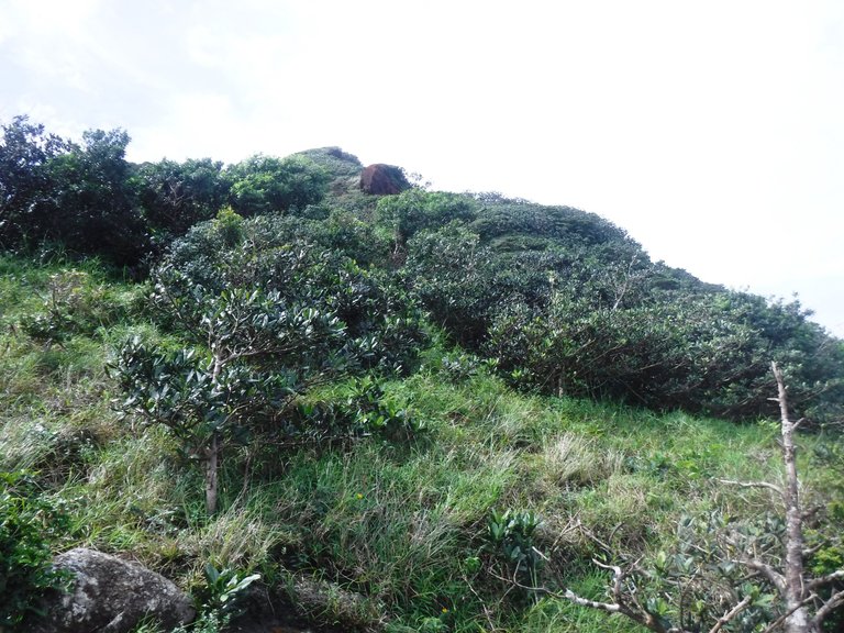
Around 11:30 in the morning we reached the fourth biotic floor: the Antillean Scrubland, here the path becomes narrower between the bushes and climbing is a little complicated by the uneven terrain with many stones, you have to be careful not to slip. Something that surprised me here is that thousands of small insects were circulating on the ground, they were like little cockroaches and it seemed that they were going to climb all over your body but they just bumped into your shoes and went on their way, one of the girls in the group spent all that stretch screaming because she was scared and disgusted hahaha.
Cerca de las 11:30 de la mañana llegamos al cuarto piso biótico: el Matorral Antillano, aquí el sendero se vuelve más angosto entre los arbustos y subir se complica un poco por lo irregular del terreno con bastantes piedras, hay que tener cuidado de no resbalar. Algo que me sorprendió aquí es que por el suelo circulaban miles de pequeños insectos, eran como chiripas y parecía que se te iban a subir a todo el cuerpo pero simplemente chocaban con tus zapatos y seguían su camino, una de las chicas del grupo se pasó todo ese tramo chillando porque le daba miedo y asco jajaja.
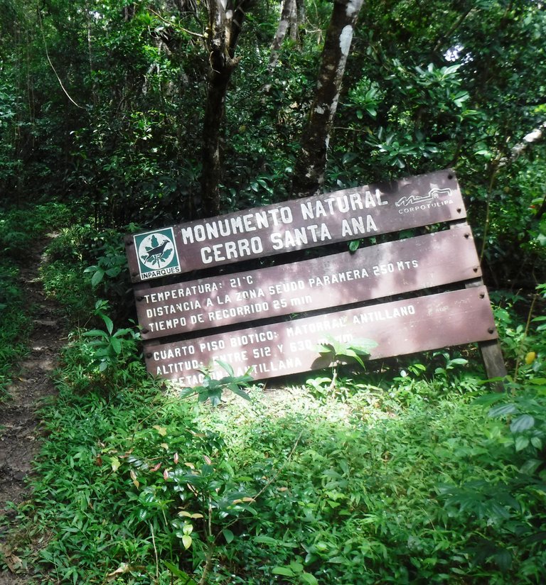
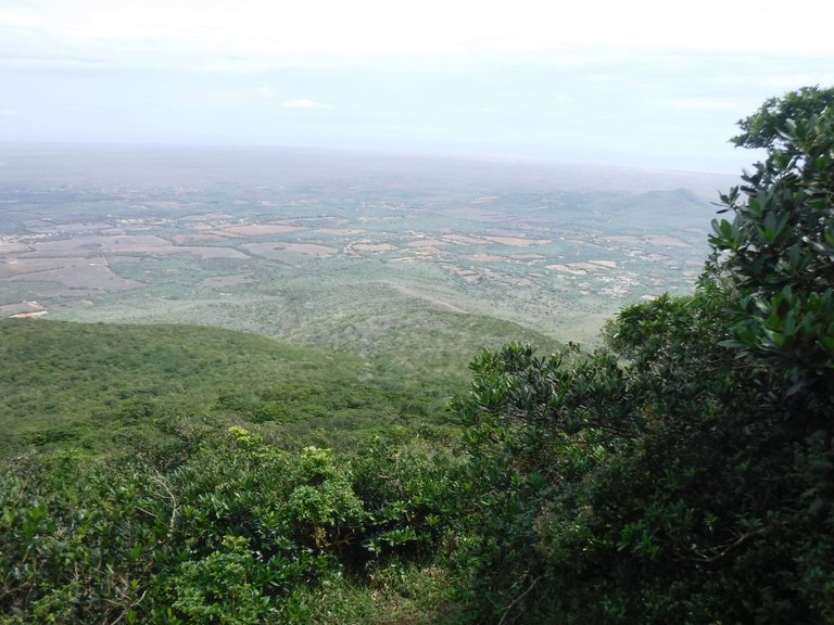
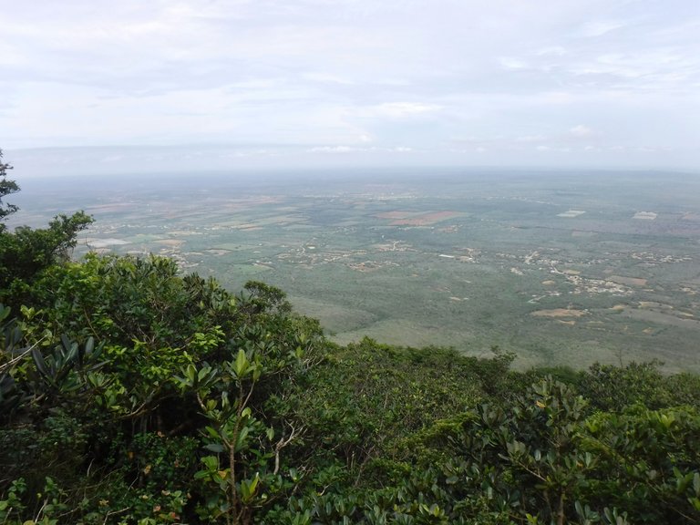
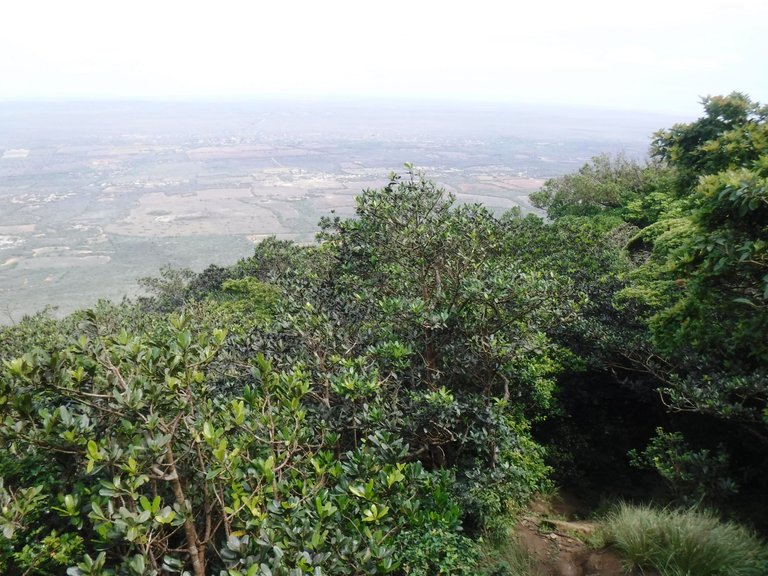
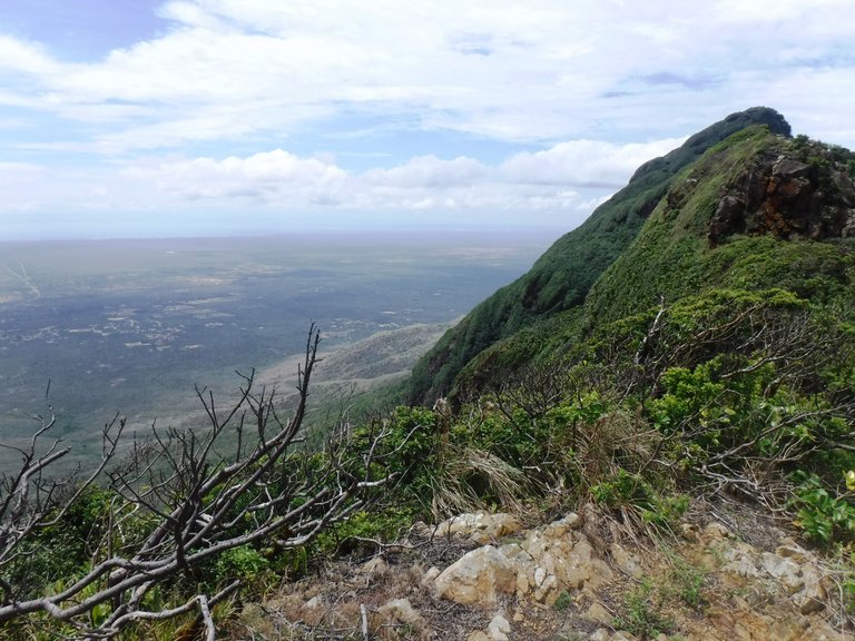
A few minutes later the whole panorama cleared, we had reached the fifth and last biotic floor known as Pseudo moor for its low vegetation, a peak from where we can already see an incredible landscape of the Paraguaná peninsula.
Pocos minutos después todo el panorama se despejó, habíamos llegado al quinto y último piso biótico conocido como Pseudopáramo por su vegetación baja, una cima desde donde ya vemos un increíble paisaje de la península de Paraguaná.
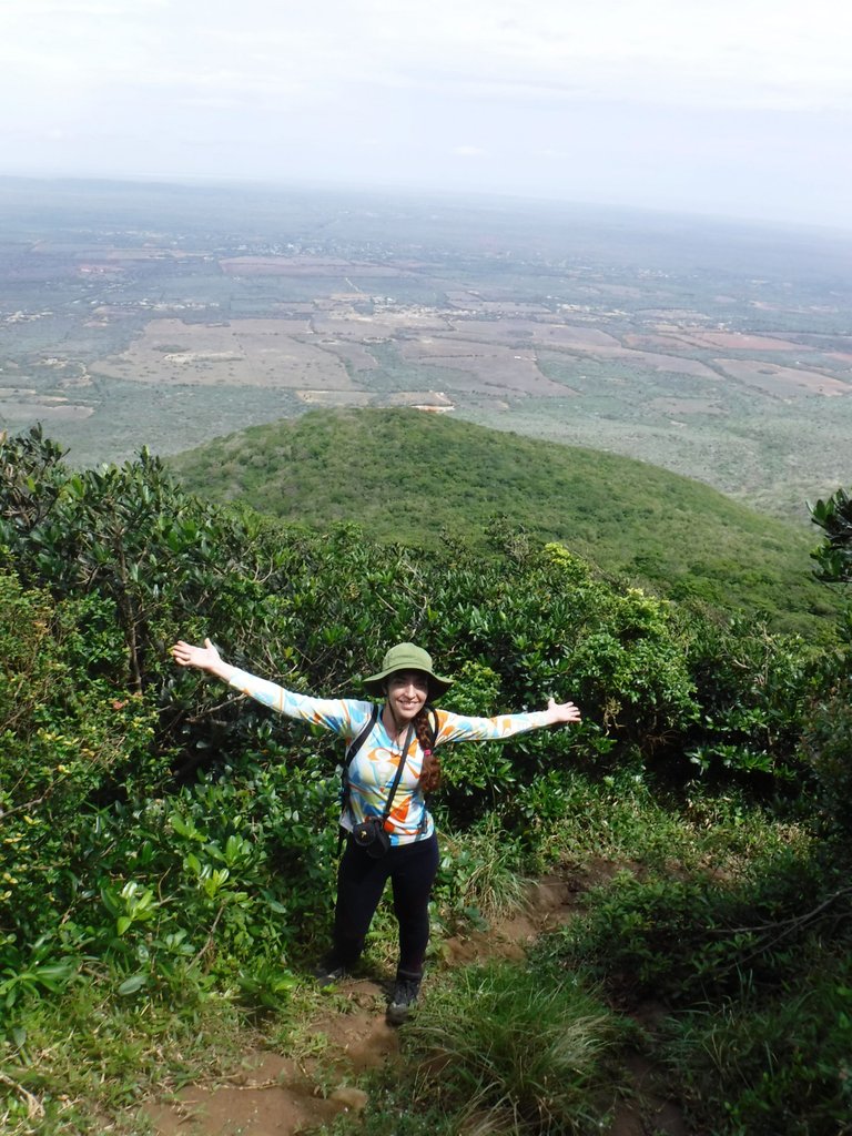
But we still had more climbing to do, the steepest part of the climb to reach our goal.
Pero aún nos faltaba subir más, venía la parte más empinada para llegar a nuestra meta.
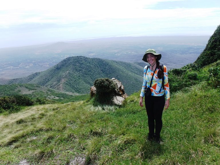
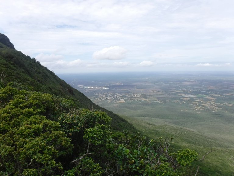
The weather had improved and we were fortunate to be able to see the entire landscape at our feet without cloud interference.
El tiempo había mejorado y tuvimos la suerte de poder ver todo el paisaje a nuestros pies sin interferencia de las nubes.
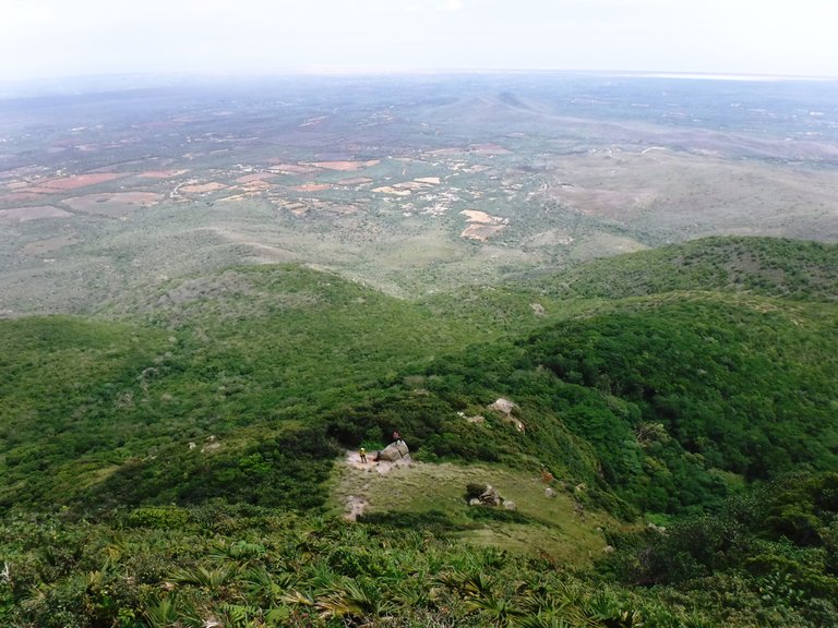
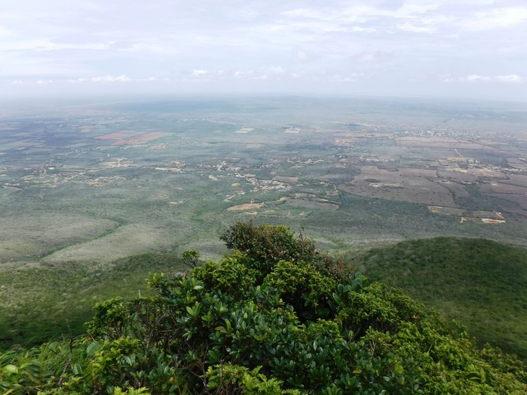
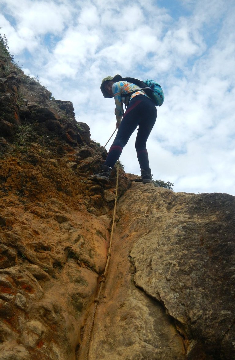
This mountain has three summits or picachos, the Santa Ana which is the highest at 830 masl and then there are Buena Vista and Moruy. We climbed up to Buena Vista, it was very exciting because to get there we had to use ropes, there was some risk but everything went well.
Esta montaña tiene tres cumbres o picachos, el Santa Ana que es el más alto con 830 msnm y luego están el Buena Vista y Moruy. Nosotros subimos hasta el Buena Vista, fue muy emocionante porque para llegar tuvimos que usar cuerdas, había cierto riesgo pero todo salió bien.
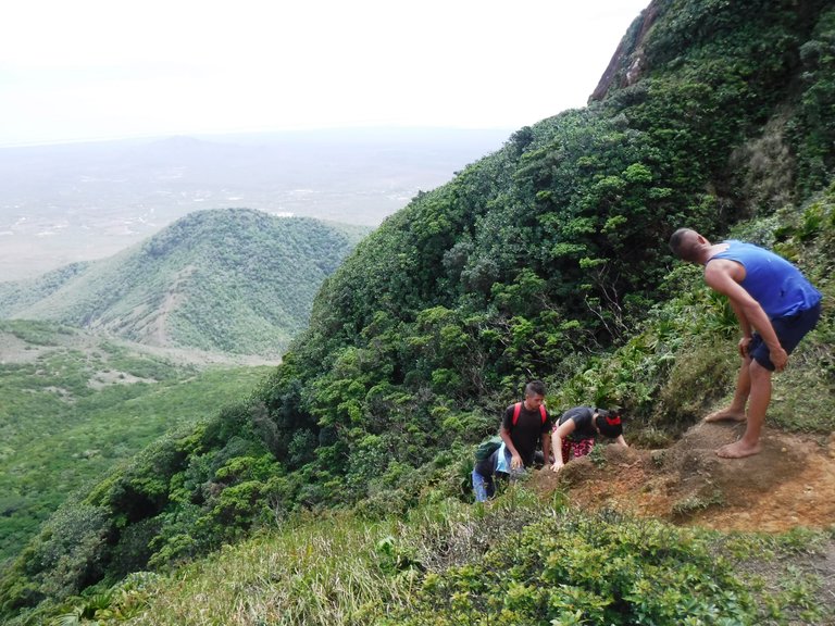
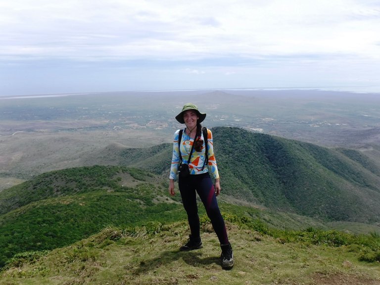
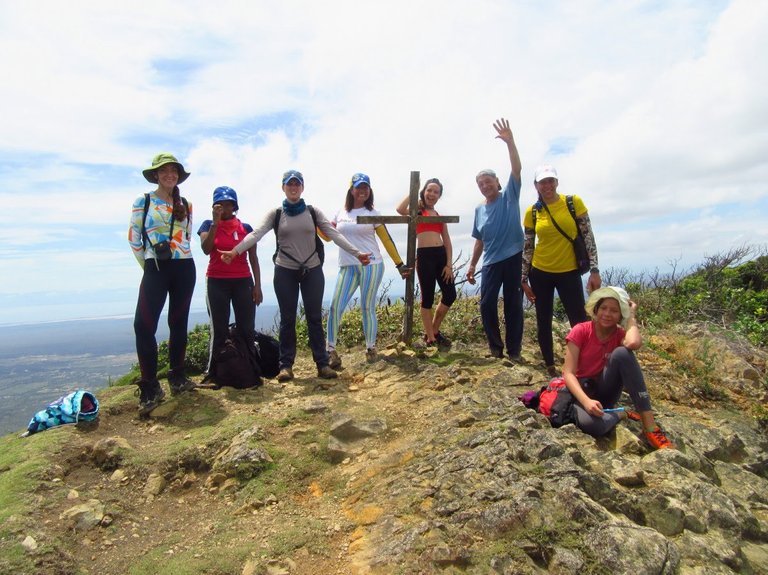
We finally reached the summit at about 12 noon with an intense sun, and everyone was super happy.
Finalmente hicimos cumbre como a las 12 del mediodía con un sol intenso, todos súper felices.
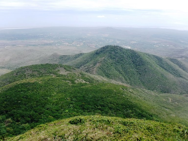
On the Buena Vista peak there is a cross, we saw that one of the timbers was fallen and a member of the group wanted to fix it, he tied it up as best he could and stabilized it.
En el picacho Buena Vista hay una cruz, vimos que una de las maderas estaba caída y un compañero del grupo quiso arreglarla, la amarró como pudo y la estabilizó.
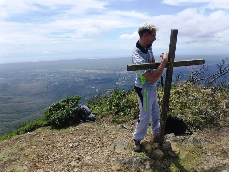
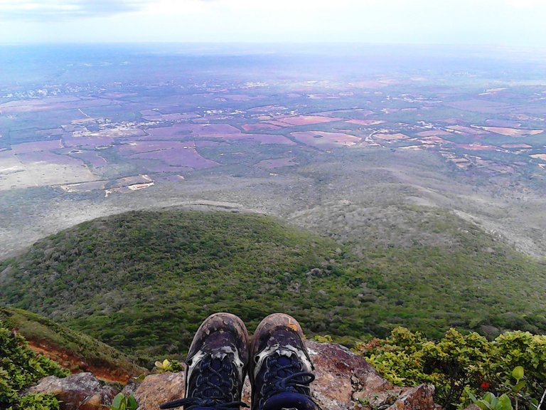
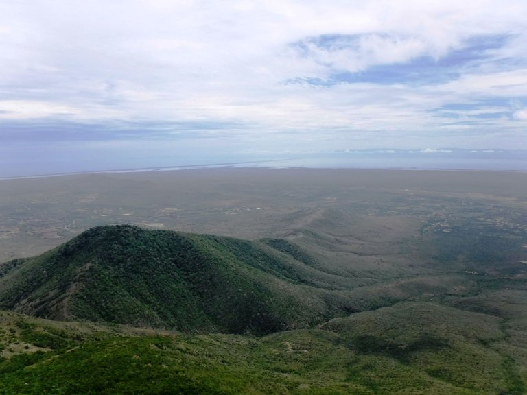
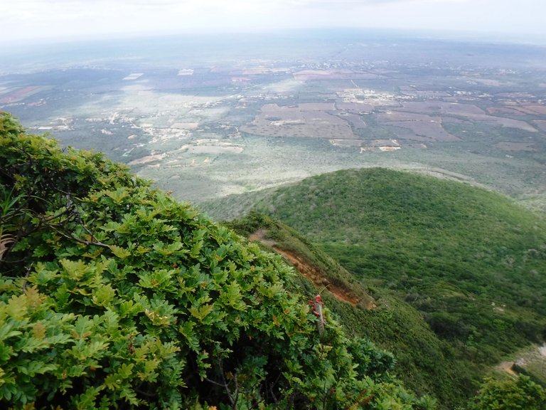
We sat down to rest and contemplate the impressive 360º view while we ate. From here you not only see the entire Paraguaná peninsula, you can even see the Dunes of Coro, the Falcón Sierra and even the islands of Aruba and Curaçao.
Nos sentarnos a descansar y a contemplar la impresionante vista de 360º mientras comíamos. Desde aquí no sólo ves toda la península de Paraguaná, incluso se divisan los Médanos de Coro, la sierra de Falcón y hasta las islas de Aruba y Curaçao.
According to what I read, this hill was under the sea and emerged more than a million years ago, incredible!
Según leí este cerro estaba bajo el mar y emergió hace más de un millón de años, ¡increíble!
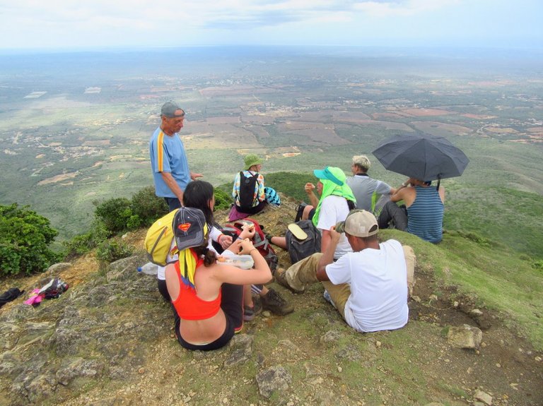
The group's guide told us that the wind here is usually very strong, so much so that it is difficult to stand upright, but this time we were lucky and the breeze was light.
El guía del grupo nos comentó que aquí el viento suele ser muy intenso, tanto que es difícil mantenerse en pie pero en esta oportunidad tuvimos suerte y la brisa estaba suave.
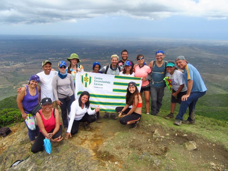
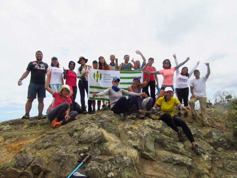
We spent more than an hour at the top, although it is the same way back, the landscape is always different on the way down, you see the place from another perspective and you notice other things as well.
Estuvimos más de una hora en la cima, aunque es el mismo camino para regresar siempre el paisaje es distinto en la bajada, ves el lugar desde otra perspectiva y te fijas en otras cosas también.
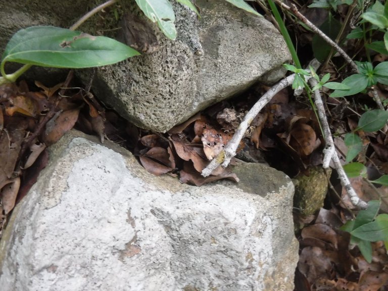
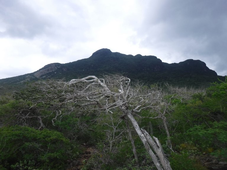
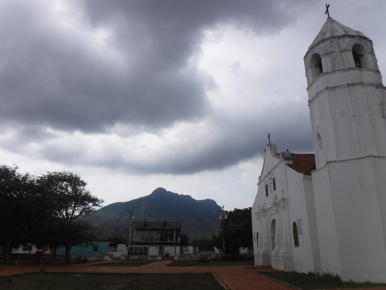
When we reached the foot of the hill, the weather had changed again, the clouds returned and the mountain looked a bit tenebrous.
Al llegar a los pies del cerro el tiempo había cambiado de nuevo, volvieron las nubes y la montaña se veía algo tenebrosa.
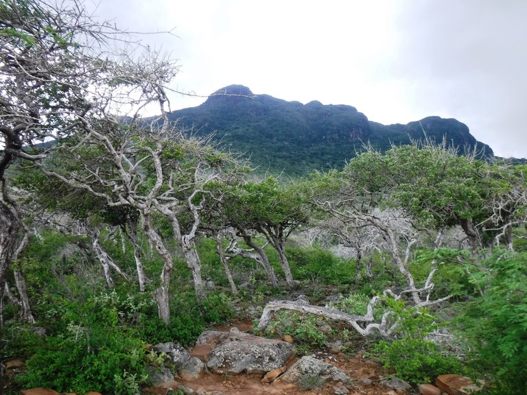
The stone gate appeared ahead, which is half an hour from the beginning of this route, so we were close to return to the Ranger Station.
Apareció más adelante el portal de piedras que está a media hora del inicio de esta ruta, así que nos faltaba poco para volver al Puesto de Guardaparques.
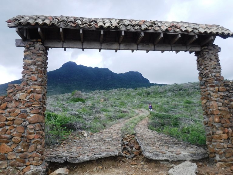
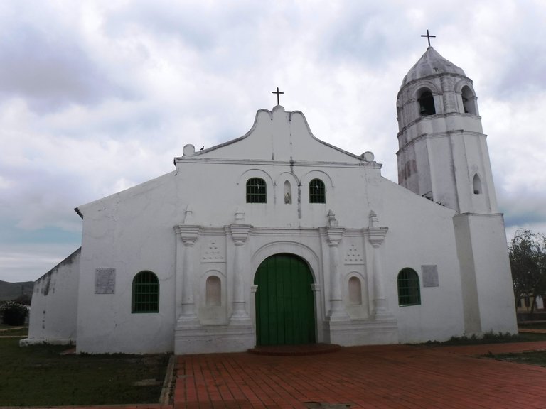
Upon arrival we walked a couple of blocks to the center of the town of Santa Ana de Paraguaná, where the Bolivar Square and the church are located, there we sat for a while on the benches to rest, in total the round trip was about six hours.
Al llegar caminamos un par de cuadras hacia el centro del pueblo de Santa Ana de Paraguaná, donde está la Plaza Bolívar y la iglesia, allí nos sentamos un rato en los banquitos a descansar, en total la excursión ida y vuelta fue de unas seis horas.
After a while I went with some companions of the group to a nearby bakery, I wanted to eat something sweet to replenish energy hehe, and then we got on our bus and returned to Adícora, where we took a nice swim at the beach. The next day ended our trip through this beautiful and diverse peninsula.
Al rato fui con unos compañeros del grupo a una panadería cercana, quería comer algo dulce para reponer energías jeje, y luego nos montamos en nuestro autobús y regresamos a Adícora, donde nos dimos un rico baño en la playa. Al día siguiente finalizaba nuestro viaje por esta bella y diversa península.
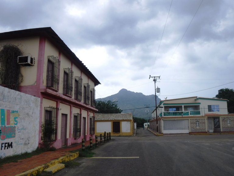
If you want to read the previous posts of my tour through Paraguaná, I leave you the links:
Si quieres leer las anteriores publicaciones de mi recorrido por Paraguaná, te dejo los enlaces:
A tour around Adícora, Venezuela / Una vuelta por Adícora, Venezuela
Except for those mentioned with its credit, all photos are my property / Excepto las mencionadas con su crédito, todas las fotos son de mi propiedad
Congratulations, your post has been added to Pinmapple! 🎉🥳🍍
Did you know you have your own profile map?
And every post has their own map too!
Want to have your post on the map too?
https://twitter.com/sof_athana/status/1554912166771396614
The rewards earned on this comment will go directly to the people( @sofathana ) sharing the post on Twitter as long as they are registered with @poshtoken. Sign up at https://hiveposh.com.
What a walk @sofathana 😊😁 stunning.
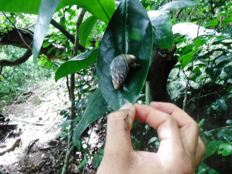
The views, cactus and the snail… beautiful.
I enjoyed going along with you. Must have been exciting this trip.
Thank you so much for sharing it with us.
Have a wonderful Wednesday 👋🏻😊
Thank you @littlebee4! This mountain left me very impressed, seeing the sea from the top and the whole peninsula was very exciting, greetings!
You are welcome @sofathana 😊 I can imagine. It looked so stunning, every view.
Have a great week further!
You too! 😉
Thanks a lot 😊👋🏻
Saludos siempre disfruto leer tus post . gracias por compartir tus experiencias
¡Muchas gracias! También he disfrutado los tuyos, ¡saludos!
Hola amiga! Por lo que veo fue un viaje espectacular, las imágenes se ven geniales y toda la experiencia me pareció muy interesante, además es tipo de contacto con la naturaleza es muy reconfortante.
Siií, ¡fue espectacular! Soy adicta al contacto con la naturaleza jejeje, ¡saludos!
Debe ser fino hacer esa caminata de noche para ver que tantos animales que de día son esquivos logra uno ver
Pues sí, de noche debe ser otro mundo totalmente, hay que llevar una linterna potente porque la visibilidad en el bosque es difícil. ¡Gracias por leer! :)