[ENG/ESP] Hiking to the sky - Páramo Las Coloradas /Senderismo al cielo - Páramo Las Coloradas
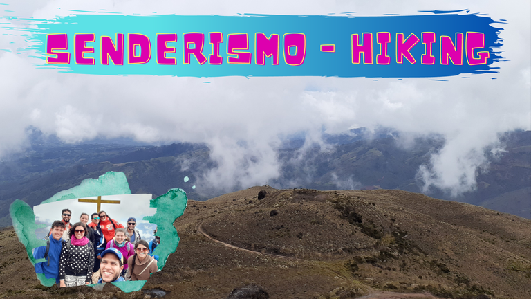
Today I come to tell you about this phenomenal adventure, the truth is that I have done this before, but this time I organized everything and invited some friends to join.
The organization roughly was to specify a specific day to travel, get a transportation unit with enough capacity for 11 people or more, make the accounts to divide the payment of the transportation between the number of people who would attend, create a WhatsApp group to keep in touch, send them the necessary indications to take on the challenge of going to this site and agree on the meeting point.
Páramo Las Coloradas is located within the General Juan Pablo Peñaloza National Park, in the State of Táchira - Venezuela. The summit is located at 3350 meters above sea level.
So, I'll let you know how it was dear Hivers....
Apreciados Hivers, sean bienvenidos todos a mi blog, espero que estén muy bien, deseándoles que encuentren siempre inspiración y la creatividad necesaria para realizar sus publicaciones en esta increíble plataforma.
Hoy vengo a contarles de esta fenomenal aventura, la verdad es que ya he hecho esto otras veces, pero esta vez yo organicé todo e invité a algunos amigos a unirse.
La organización a groso modo fue concretar un día en específico para viajar, conseguir una unidad de trasporte con la capacidad suficiente para 11 personas o más, hacer las cuentas para dividir el pago del trasporte entre el número de personas que asistiríamos, crear un grupo de WhatsApp para mantenernos en contacto, enviarles las indicaciones necesarias para asumir el reto de ir a este sitio y acordar el punto de encuentro.
El Páramo Las Coloradas se encuentra dentro del Parque Nacional General Juan Pablo Peñaloza, en el Estado Táchira - Venezuela. La cima se encuentra a 3350 msnm.
Entonces, les contaré que tal estuvo apreciados Hivers...

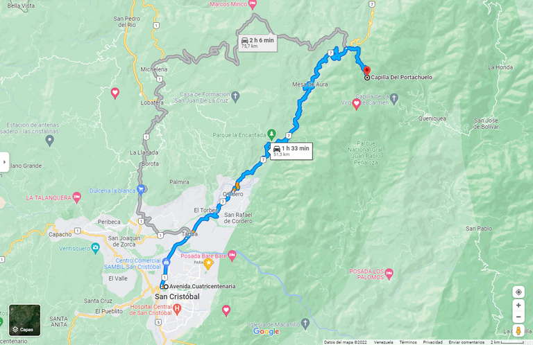
We left the city of San Cristobal at approximately 8:30am heading to a sector called "Portachuelo" where we would be dropped off by the transportation unit.
Salimos de la ciudad de San Cristóbal a aproximadamente a las 8:30am con rumbo a un sector llamado "Portachuelo" donde nos dejaría la unidad de trasporte, el viaje fue de 1 hora y 3O minutos hasta allí.
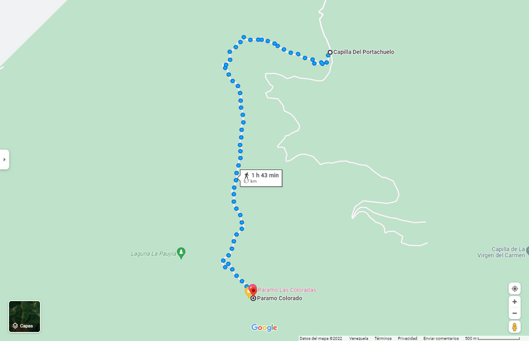
Once we arrived at the starting point of our hike, we got off the transport unit and began to prepare to climb the mountain, arranging our things and doing some warm-up exercises. In the map you can see the route on foot from the portachuelo sector to the top of the mountain, where we arrived at a viewpoint.
Una vez llegamos al punto de inicio de nuestra caminata, nos bajamos de la unidad de trasporte, comenzamos a prepararnos para subir la montaña, acomodando nuestras cosas y haciendo algunos ejercicios de calentamiento. En el mapa observan el recorrido a pie desde el sector portachuelo, hasta la cima de la montaña, donde llegamos a un mirador.

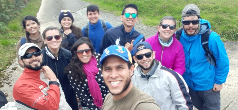
Before starting the ascent we took a selfie to immortalize the moment, we were quite happy to be there, we all knew each other in college and over time we became good friends.
Antes de comenzar el ascenso nos tomamos una selfie para inmortalizar el momento, estábamos bastante felices de estar allí, todos nos conocimos en la universidad y con el tiempo nos hicimos buenos amigos.

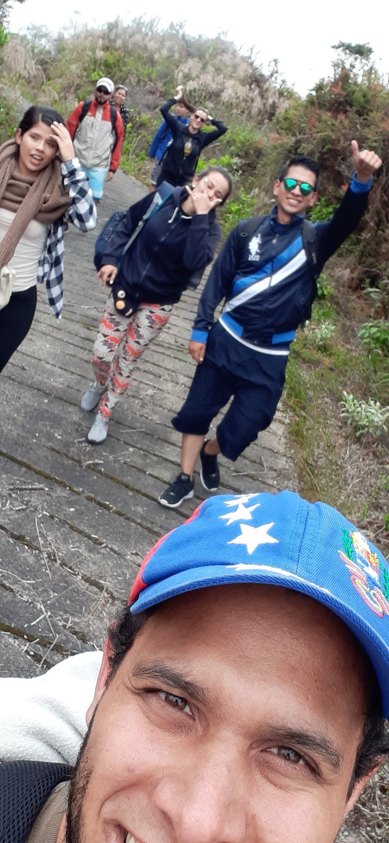
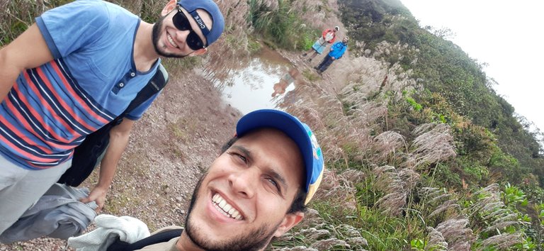
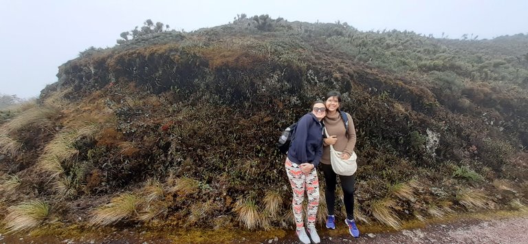
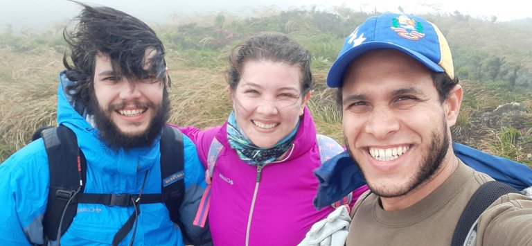
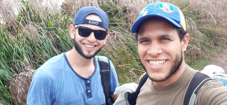
On the way up we took some pictures, enjoyed a good conversation, some jokes and we were also looking forward to the place.
En el ascenso nos tomamos algunas algunas fotos, íbamos disfrutando de una buena conversación, algunas bromas y también estábamos a la expectativa con el lugar.

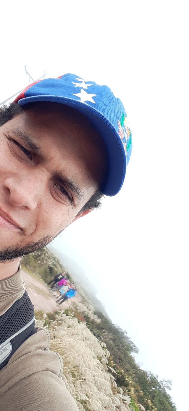
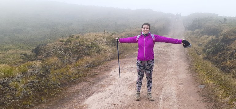
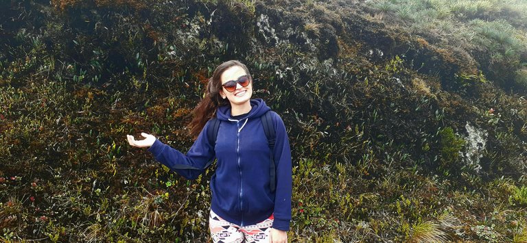
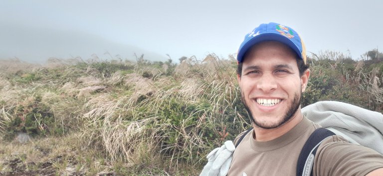
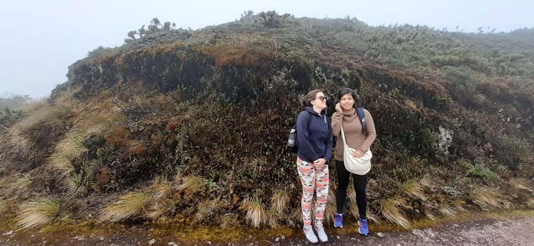
Here I was trying to take some selfies and also take some pictures of my friends.
Aquí estuve intentando tomar algunas selfies y también tomarle algunas fotos a mis amigas.

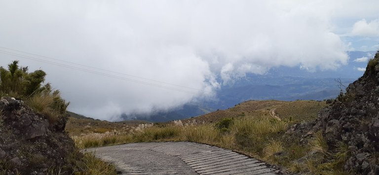
As we climbed higher and higher, the clouds began to get closer and closer and of course the difficulty of the hike increased due to the altitude, but that didn't stop us.
A medida que íbamos subiendo más y más, comenzaban a apreciarse mucho mas cerca las nubes y por supuesto iba aumentando la dificultad de la caminata debido a la altura, pero eso no nos detenía.
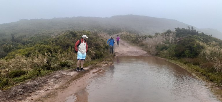
In some sections of the road there were huge puddles of water, it almost looked like small lakes, to avoid them we walked along the edge very carefully.
En algunas secciones del camino habían charcos de agua inmensos, por poco parecían pequeños lagos, para esquivarlos caminábamos por el borde con mucho cuidado.

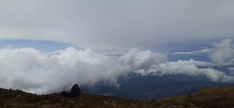
After climbing the mountain for approximately 2 hours, we arrived at a clear and pleasant spot.
Luego de subir la montaña por aproximadamente 2 horas, llegamos a un sitio despejado y agradable.
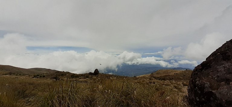
In addition, the site offered us a nice view of the landscape, the clouds looked like a soft bed in the sky.
Además el sitio nos ofrecía una bonita vista del paisaje, las nubes parecían una suave cama en el cielo.

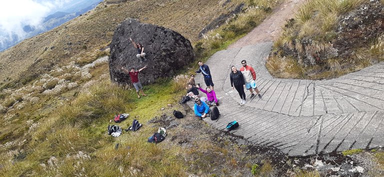
At this site we decided to stay there for a while to take lunch out of our backpacks and eat there. We spent about 1 hour at this site, after lunch we took some pictures, talked and explored the surroundings a bit.
Estado en este sitio decidimos quedarnos ahí por un rato para sacar el almuerzo de nuestras mochilas y comer ahí. Estuvimos aproximadamente 1 hora en ese sitio, luego de almorzar nos tomamos algunas fotos, conversamos y exploramos un poco los alrededores.

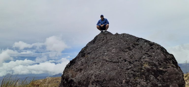
I asked one of my friends to take this picture, the rock was really huge, it took me a while to get it up, but the goal was achieved.
Le pedí a una de mis amigas que me tomara esta foto, la roca era realmente enorme, me costó un poco subirla, pero se logró el objetivo.

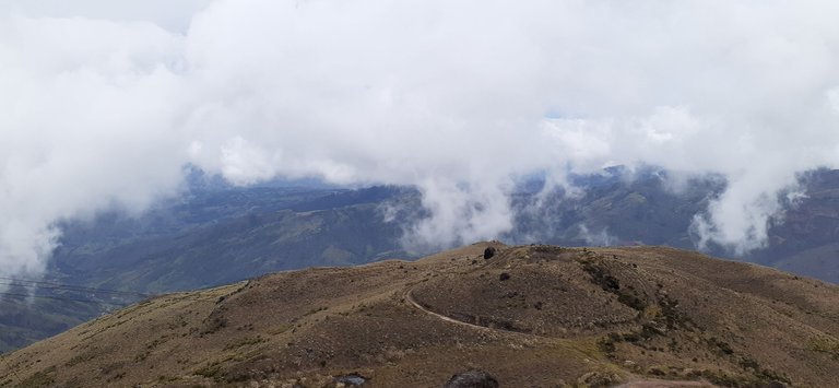
I climbed a little higher and climbed to the top of another much larger rock that was embedded in the mountain to take a good picture of the landscape and this was the result.
Subí un poco más y escalé hasta la punta de otra roca mucho mas grande que estaba incrustada en la montaña para tomar una buena foto del paisaje y este fue el resultado.

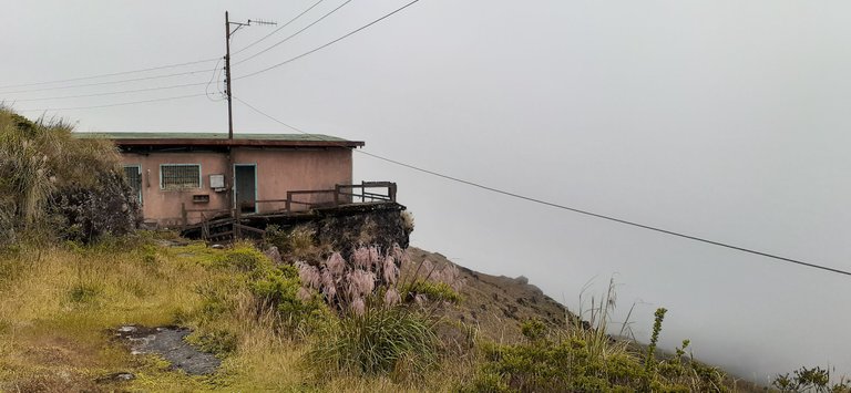
Finally after another hour of walking we arrived at our destination, the top of the mountain, where we found this abandoned house, which had a lookout point.
Finalmente luego de caminar una hora mas llegamos a nuestro destino, la cima de la montaña, donde encontramos esta casa abandonada, la cual tenía un mirador.

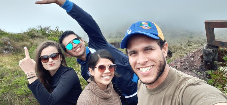
While we were there, we obviously took many more pictures to record forever our happiness for being there and achieving the goal.
Estando allí, obviamente nos tomamos muchas mas fotografías para quedara retratado para siempre nuestra felicidad por estar allí y lograr la meta.
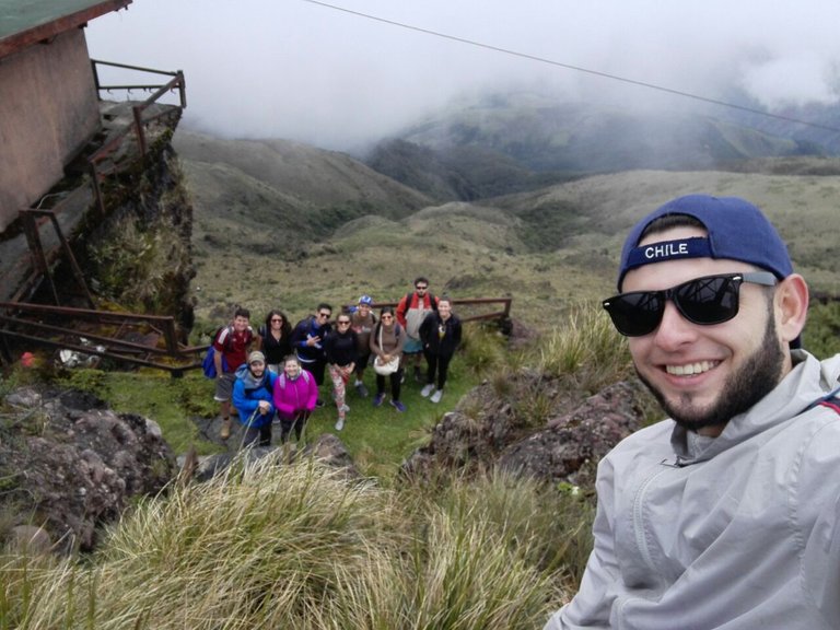
My friend Jorrique took a selfie of us all.
Mi amigo Jorrique tomó una selfie donde salimos todos.

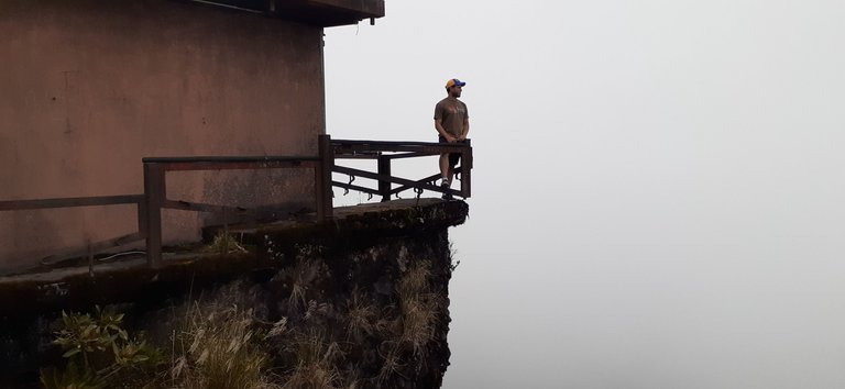
We all wanted a picture at the lookout point of the house, here is my picture, at that time it was quite cloudy, but when the site clears it looks amazing too.
Todos queríamos una foto en el mirador de la casa, aquí esta mi foto, en ese momento estaba bastante nublado, pero cuando el sitio se despeja también se ve increíble.
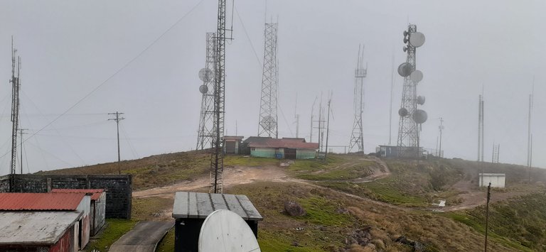
Then we decided a little further up the ridge and found a complex of radio and microwave antennas, there was also an airborne radar that apparently was no longer working.
Luego decidimos un poco mas de la cima y encontramos un complejo de antenas de radio y microondas, también había un radar aéreo que al parecer ya no funcionaba.

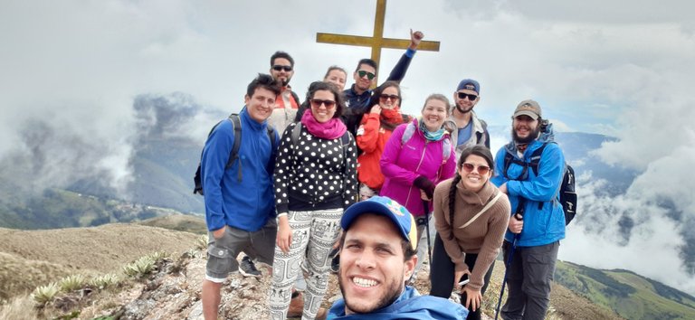
On the way back down to a cross that is on the mountain, from there you can see an incredible landscape, you can see other mountains striking for its color and topography, and even see a lake that was not far from there down the hill.
En el camino de regreso bajamos hasta una cruz que se encuentra en la montaña, desde allí se ve un paisaje increíble, se ven otras montañas llamativas por su color y topografía, y hasta se ve un lago que no estaba muy lejos de allí colina abajo.
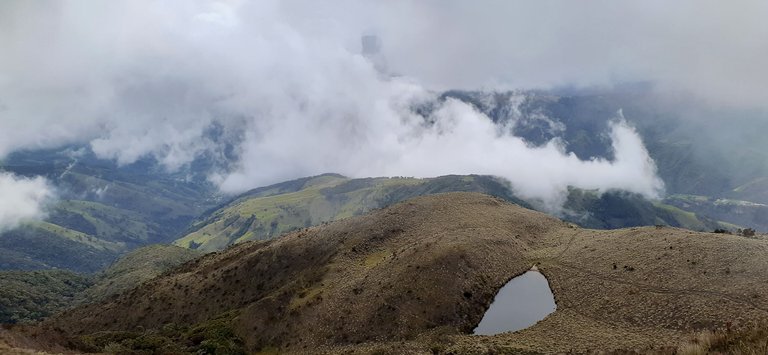
And finally, here you can see the lake I am talking about, it is called Lake "La Paujila" and it is a peri glacial lake, the water is very cold.
Y para finalizar, aquí pueden observar el lago del que les hablo, recibe el nombre de Lago "La Paujila" y es un lago periglacial, el agua es muy fría.

Until the next post!
Hasta la siguiente publicación!
All photographs were taken with a SAMSUNG Galaxy A20 cell phone.
Todas las fotografías fueron tomadas con un celular SAMSUNG Galaxy A20.
The text separator and other images are of my authorship.
El separador de texto y las demás imágenes son de mi autoría.
Cover made in / Portada realizada en: https://www.canva.com/
Maps / Mapas: GoogleMaps
Translated with: www.DeepL.com/Translator (free version)
https://twitter.com/robertsreinold/status/1497251636196122631
The rewards earned on this comment will go directly to the person sharing the post on Twitter as long as they are registered with @poshtoken. Sign up at https://hiveposh.com.
The people doing V2K want me to believe it is this lady @battleaxe Investigate what she has been up to for 5 years. Its the next step to stopping this. Make her prove where she has been for 5 years or where she is now. She is involved deeply with @fyrstikken and his group. Her discord is Battleaxe#1003. I cant say she is the one directly doing the v2k. Make her prove it. They have tried to kill me and are still trying to kill me. I bet nobody does anything at all. Make @battleaxe prove it. I bet she wont. They want me to believe the v2k in me is being broadcasted from her location. @battleaxe what is your location? https://ecency.com/fyrstikken/@fairandbalanced/i-am-the-only-motherfucker-on-the-internet-pointing-to-a-direct-source-for-voice-to-skull-electronic-terrorism
Hola @reinoldroberts que maravilloso es compartir con buenos amigos de los paseos a sitios encantadores.
Hiya, @choogirl here, just swinging by to let you know that this post made it into our Honorable Mentions in Daily Travel Digest #1486.
Your post has been manually curated by the @pinmapple team. If you like what we're doing, please drop by to check out all the rest of today's great posts and consider supporting other authors like yourself and us so we can keep the project going!
Become part of our travel community:
🙌🙌🙌
Congratulations, your post has been added to Pinmapple! 🎉🥳🍍
Did you know you have your own profile map?
And every post has their own map too!
Want to have your post on the map too?