Fatass Journal... 2022#036 - Feb 05
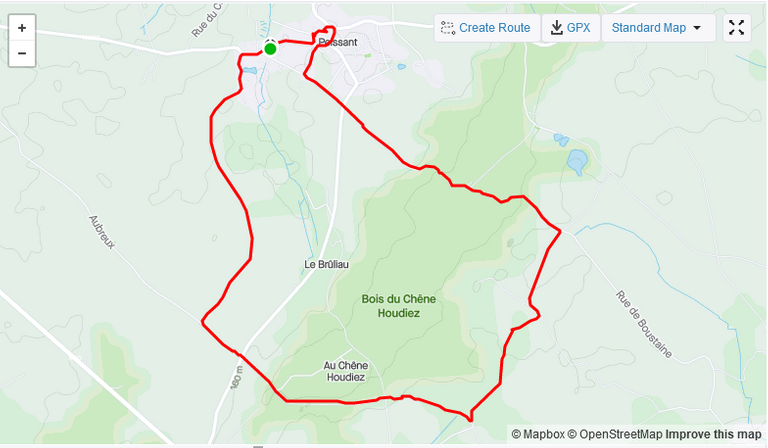
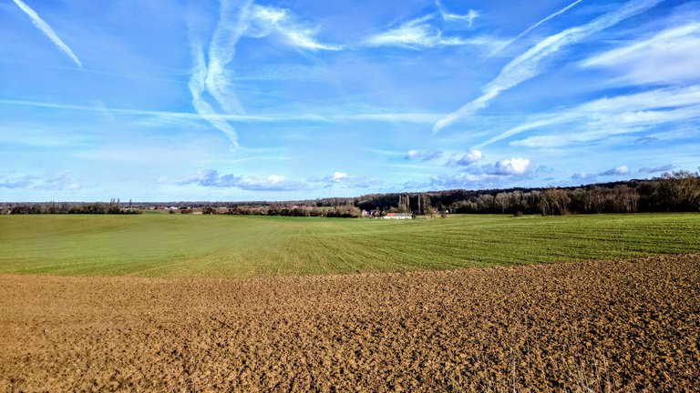
Sobota miała być jedynym słonecznym dniem w trakcie tego weekendu, od piątku niemożliwie wieje i często popaduje. Postanowiłem wykorzystać słoneczną pogodę na dłuższy spacer. Żona zatrzymała mnie jeszcze chwilę w domu, żeby jej pomóc przy pączkach i wtedy zadzwonił kolega z tradycyjnym pytaniem "może jakiś spacer". Dostałem dyspensę od żony i szybko wyszukałem jakąś trasę w aplikacji Wikiloc, wybór padł na około dziewięciokilometrową pętlę wokół wioski Peissant.
[ENG] Saturday was supposed to be the only sunny day during this weekend, since Friday it has been impossibly windy and often raining. I decided to take advantage of the sunny weather for a long walk. My wife kept me at home for a while to help her with the doughnuts and then a friend called with the traditional "maybe a walk" question. I got a dispensation from my wife and quickly searched for a route on the Wikiloc app, the choice fell on a loop of about nine kilometres around the village of Peissant.
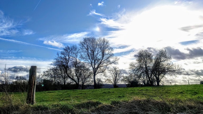
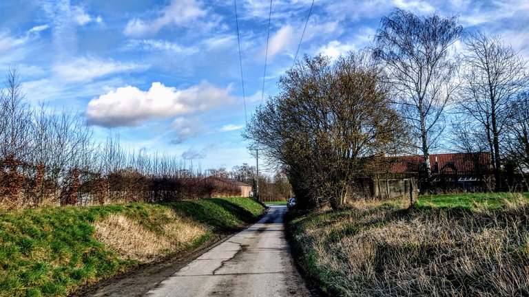
Kilka razy zdarzyło się, że przejeżdżałem przez tę wioskę rowerem, ale nigdy nie było okazji pieszo ją obejść. Początkowo szliśmy dobrymi asfaltowymi drogami między polami, czasami przez kilkadziesiąt metrów na głębokim wdechu. Sam nie mogłem uwieżyć, że tak długo potrafię wytrzymać, ale w sytuacji, gdy naturalne zapachy tak intensywnie roznosiły się nad polami trzeba było sobie radzić.
[ENG] I had cycled through this village a few times, but there had never been an opportunity to go around it on foot. At first, we walked on good asphalt roads between fields, sometimes for a few dozen metres on a deep breath. I myself could not believe I could last so long, but with the natural smells spreading so intensely over the fields, one had to manage.
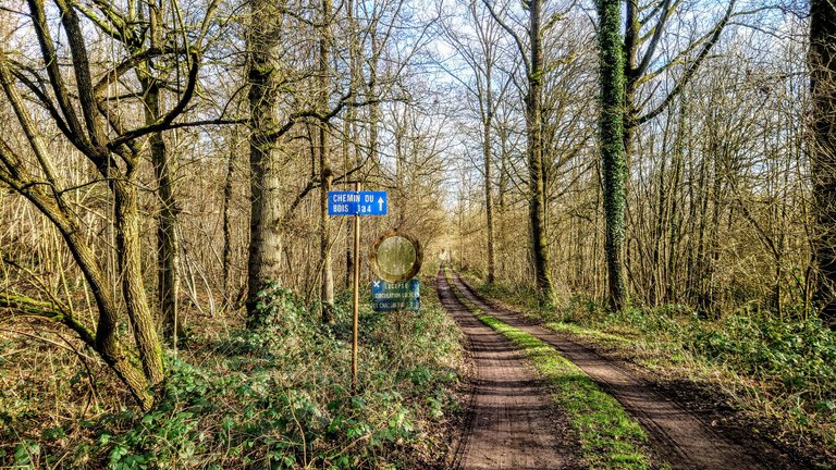
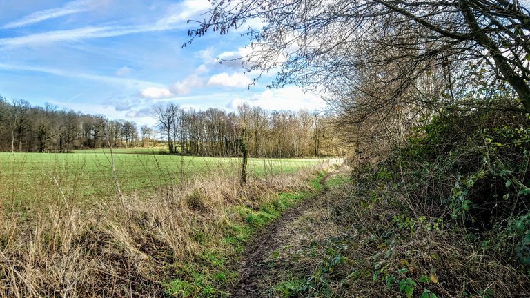
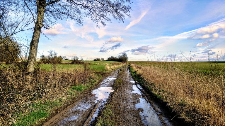
Z mapki w aplikacji pamiętałem, że trasa będzie prowadziła przez las i to było spoko, ale w pewnym momencie trasa odbiła na wąską ścieżkę w jarze między polami. Przejście tą ścieżką wymagałoby kaloszy, dlatego zdecydowaliśmy się iść po miedzy. Później droga był szersza, ale niełatwa do pokonania. Takie ciężkie warunki były na tylko około dwóch kilometrach.
[ENG] I remembered from the map on the app that the route would take me through the woods and that was cool, but at one point the route turned onto a narrow path in a ravine between fields. Crossing this path would require wellingtons, so we decided to walk on the bellow. Later, the path was wider, but not easy to follow. There were only about two kilometres of such tough conditions.
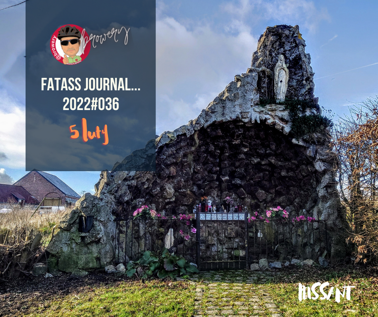
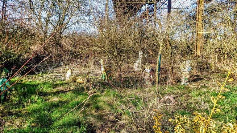
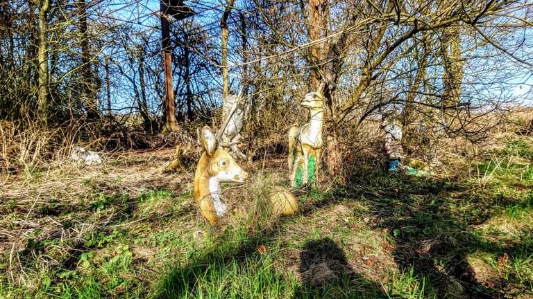
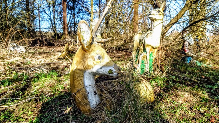
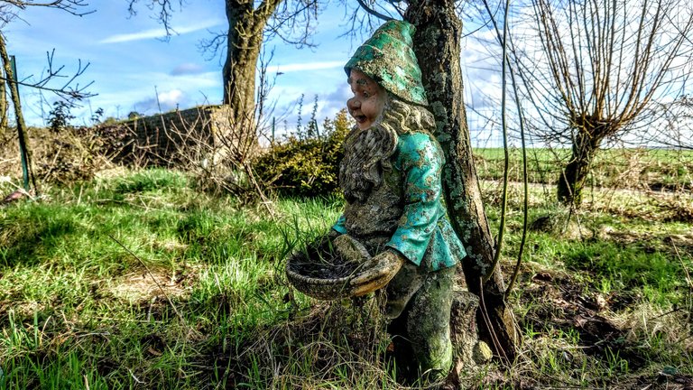
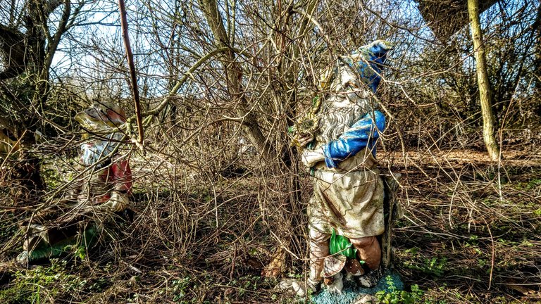
Po drodze mijaliśmy jakieś zabudowania, przy jednym z nich odkryliśmy zapuszczony tajemniczy ogród z figurkami krasnali i zwierząt. Zwierzęta wyglądały przerażająco, nie ma tego na zdjęciach, ale były tam jeszcze figurki kuropatwy i sowy zawieszone na gałęziach głowami w dół.
[ENG] n the way we passed some buildings, at one of them we discovered a secret garden with figures of dwarves and animals. The animals looked scary, it is not in the photos, but there were still figurines of partridge and owls hanging on branches with their heads down.
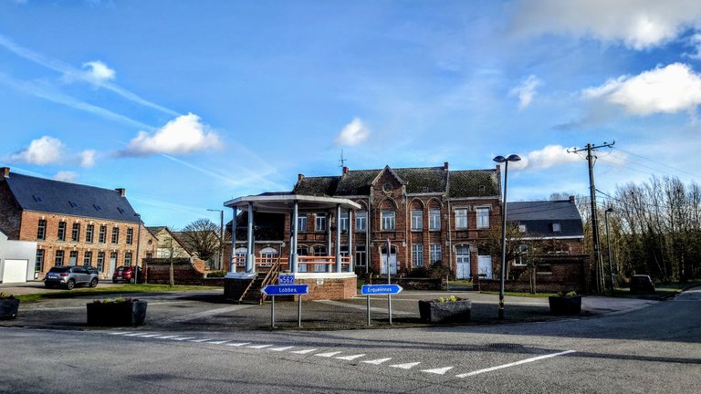
Na koniec jeszcze tradycyjny "kiosk" w centralnym punkcie wioski. Generalnie wioska sama w sobie nie zachwyca, zwykła wioska na pograniczu, gdzie przeważa współczesne budownictwo, a mnie podobają się stare budynki, które mają jakiś klimat. Tu niestety takich nie znalazłem. Tylko ten upiorny ogród po drodze był czymś niespotykanym. Drugi plus to 8,5 km dodane do kolekcji wander.earth.
[ENG] Finally, there was still the traditional 'kiosk' in the centre of the village. Generally, the village itself does not impress, an ordinary village on the border where modern architecture prevails, and I like old buildings that have some atmosphere. Unfortunately, I did not find such buildings here. Only the ghostly garden along the way was something unusual. The other plus is the 8.5 km added to the wander.earth collection.


Dystans pokonany w 2022 roku: 330,17 km - z podziałem na dyscypliny:
| Dyscyplina | Dystans |
|---|---|
| Spacer / Marsz / Nordic Walking | 241,85 km (+21,10 km) |
| Kolarstwo / Rower MTB | 13,90 km |
| Jogging / Bieganie | 74,42 km |
| Wioslarz | 2,00 km |
| Orbitrek | 8,59 km |
| wander.earth 2022 | 36,05 km (+8,53 km) |

This report was published via Actifit app (Android | iOS). Check out the original version here on actifit.io



https://twitter.com/Pe_A_eM/status/1490380647583690764
The rewards earned on this comment will go directly to the person sharing the post on Twitter as long as they are registered with @poshtoken. Sign up at https://hiveposh.com.
Congrats on providing Proof of Activity via your Actifit report!
You have been rewarded 548.6404 AFIT tokens for your effort in reaching 36559 activity, as well as your user rank and report quality!
You also received a 2.61% upvote via @actifit account.
To improve your user rank, delegate more, pile up more AFIT and AFITX tokens, and post more.
To improve your post score, get to the max activity count, work on improving your post content, improve your user rank, engage with the community to get more upvotes and quality comments.