Try some trekking with me in the Andes Mountains: adventures at Cerro Cocodrilo [Eng - Esp]
Try some trekking with me in the Andes Mountains: adventures at Cerro Cocodrilo
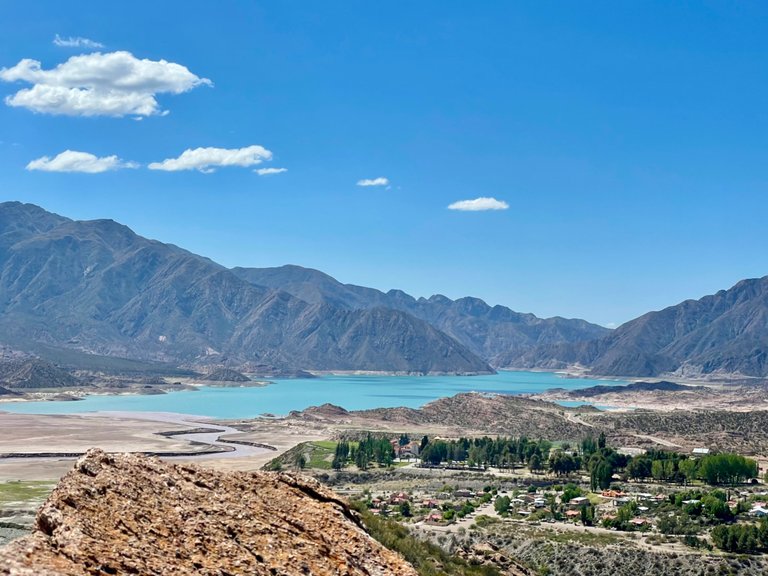
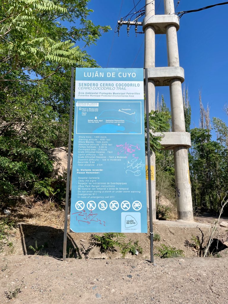
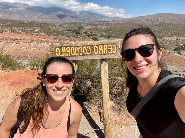
Hello my dear Pinmapple friends!!! I hope you are having a spectacular day! This time, I will show you Mendoza once again! This time, it will be the Cerro Cocodrilo you will see, which is located a few kilometers away from the place I showed you a few days ago in front of the Potrerillos reservoir.
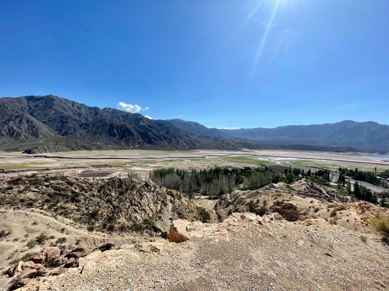
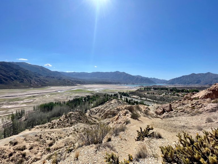
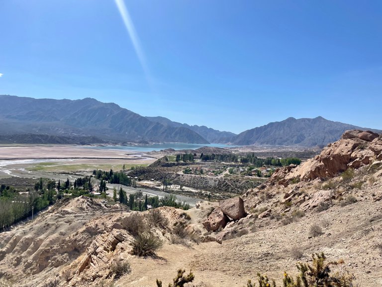
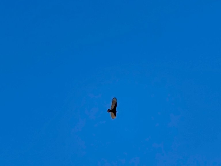
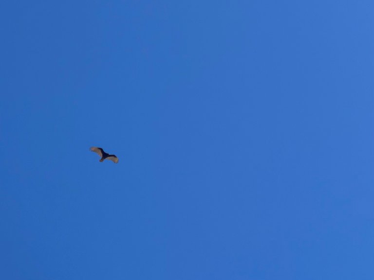
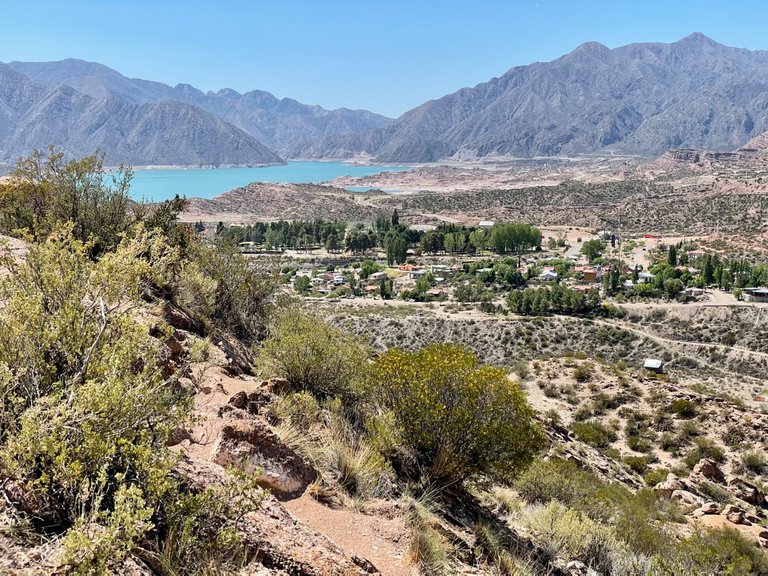
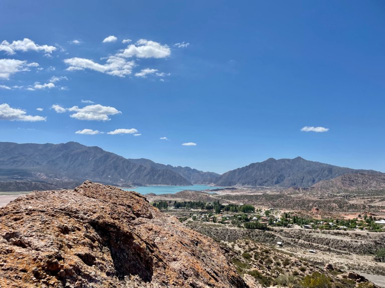
The Cerro Cocodrilo in fact, offers panoramic views of this artificial body of water, but as a large part is dry, little water could be seen, however, a great and pleasant surprise accompanied us on the journey, as we were blessed to have a condor visit us very close to the peak.
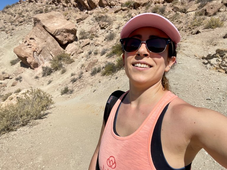
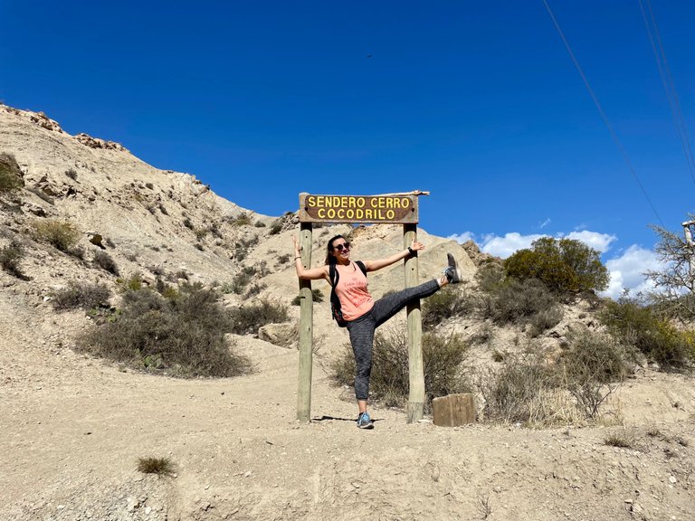
It was around 10:30 am when we started to climb, and the sun was already beating down quite hard. I was carrying a bottle of frozen water in my backpack, something I usually do in Mendoza when I go hiking in the mountains, as it quickly melts, thus becoming a source of fresh water for the most critical moments of the trek.
Vengan a hacer trekking conmigo a la Cordillera de Los Andes: aventuras en el Cerro Cocodrilo
Hola mis queridos amigos de Pinmapple!! Espero que estén teniendo un día espectacular! En esta ocasión, les mostraré Mendoza una vez más! Esta vez, será el Cerro Cocodrilo lo que verán, que se encuentra a pocos kilómetros del lugar que les mostré hace unos días frente al embalse Potrerillos.
El Cerro Cocodrilo de hecho, ofrece vistas panorámicas de este cuerpo de agua artificial, pero como una gran parte está seca, poco de agua se pudo ver, sin embargo, una gran y grata sorpresa nos acompañó en la travesía, ya que tuvimos la bendición de que un cóndor nos visitara muy cerca de la cúspide.
Eran alrededor de las 10:30 am cuando empezamos a subir, y el sol ya golpeaba bastante fuerte. Yo llevaba en mi mochila una botella de agua congelada, algo que suelo hacer en Mendoza cuando salgo a caminar por la montaña, ya que rápidamente se derrite, transformándose de este modo en un a fuente de fresca agua para los momentos más críticos del trekking.
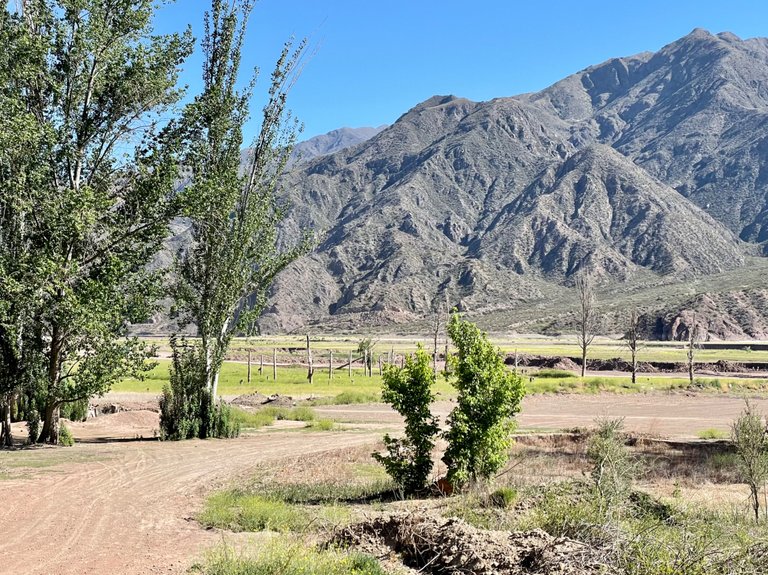
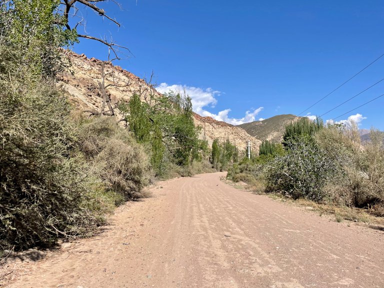
Towards the top of the mountain
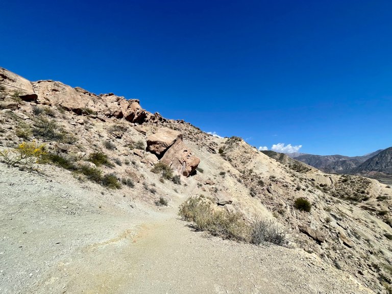
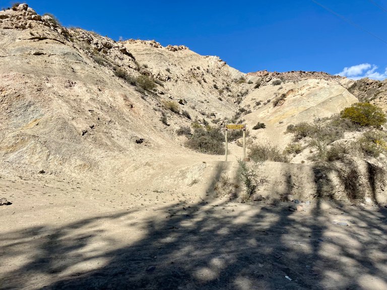
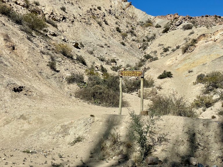
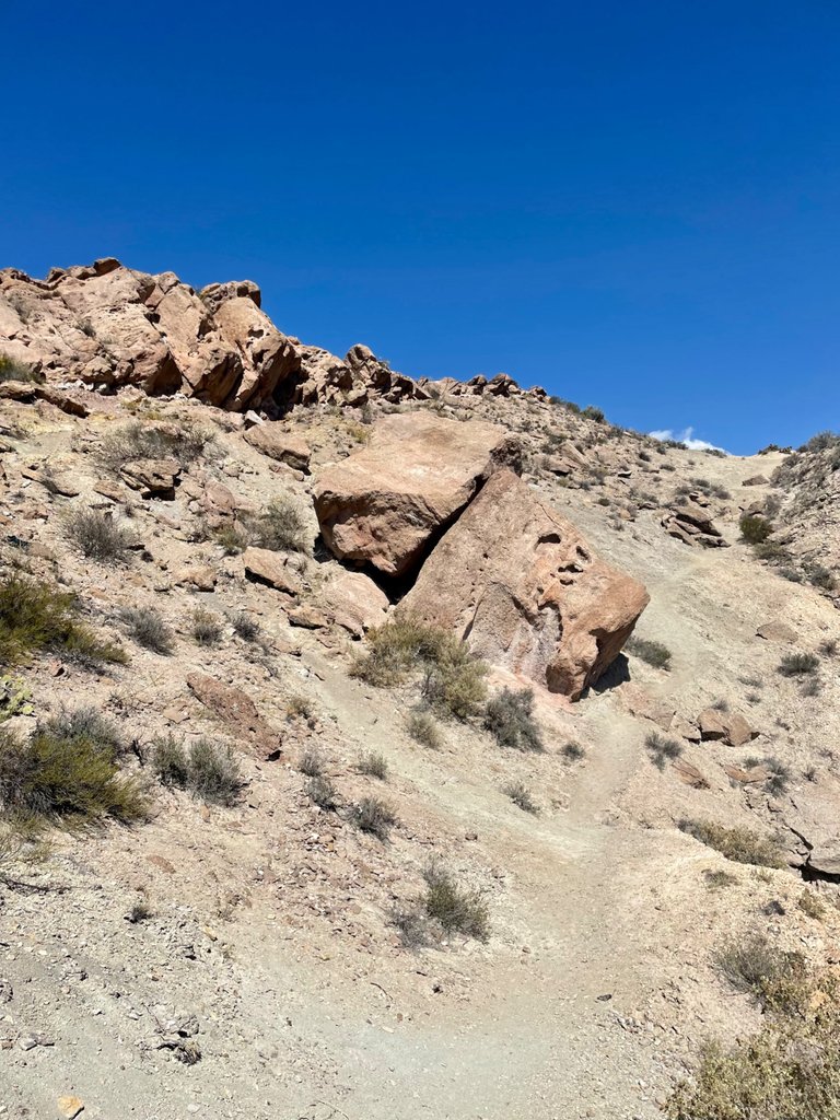
The first part of the ascent was quite intense, with a steep slope and gravel on the ground, which forced us to dig our feet in as much as possible to avoid slipping. However, I had done this hill about 10 years ago, and I knew that it promised some breaks a few meters up, so I told Luci, my friend, to stay calm, that this part of the climb was a bit more difficult.
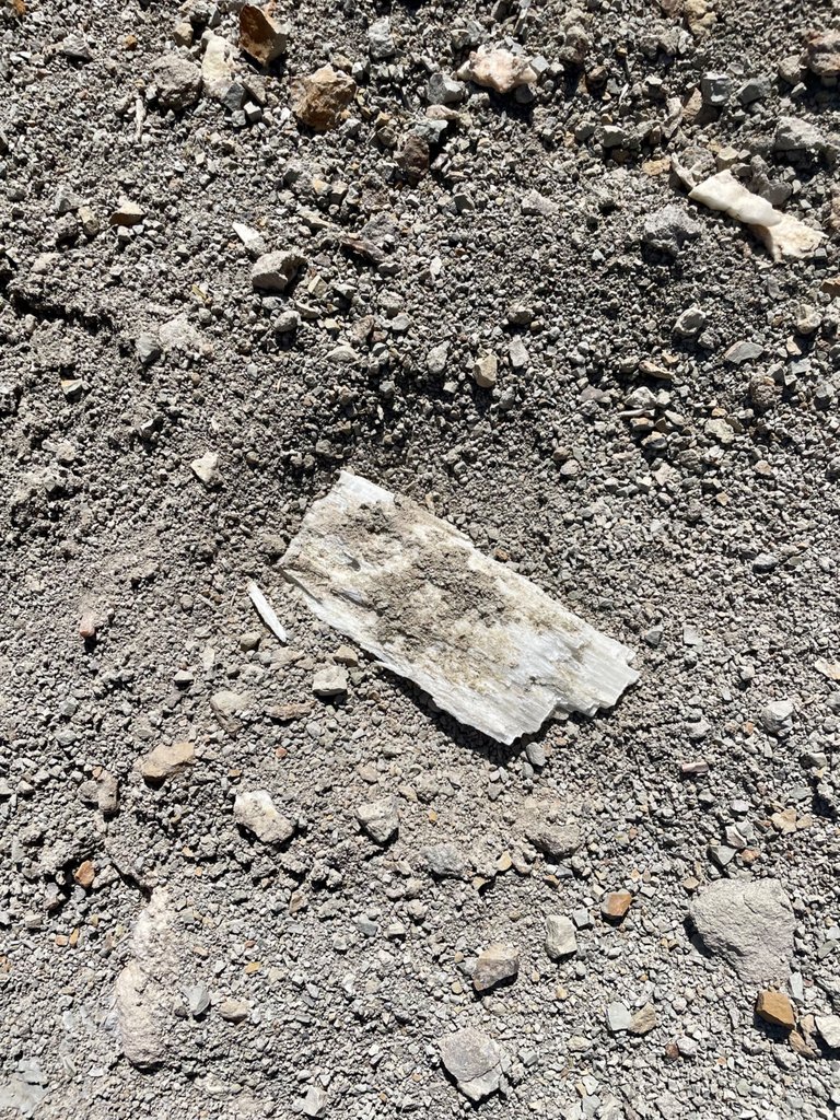
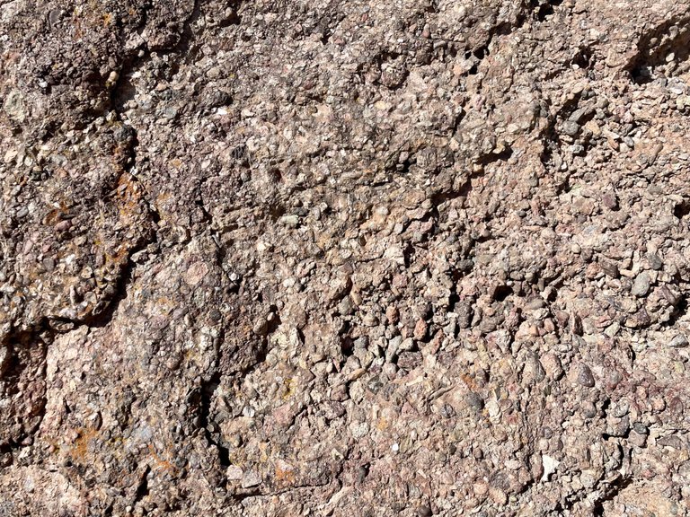
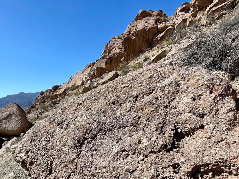
As we climbed, we observed the rocks, their colors, how some of them seemed to have quartz stuck in the middle, and we were quite intrigued by a material that looked like a salt plate. Neither of us knew what it was, so a geologist at that time would have been a great help. Further along the road, we saw in one of the cuts in the hill that this apparent compacted saltpeter formed an entire layer.
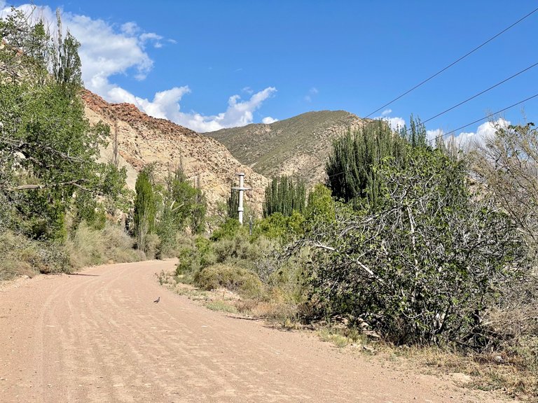
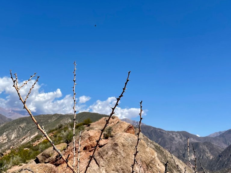
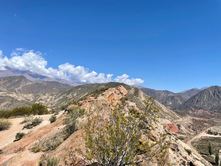
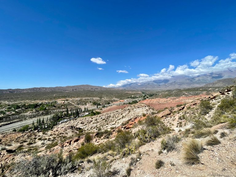
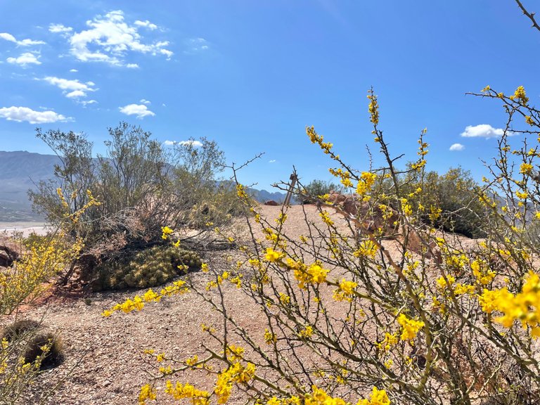
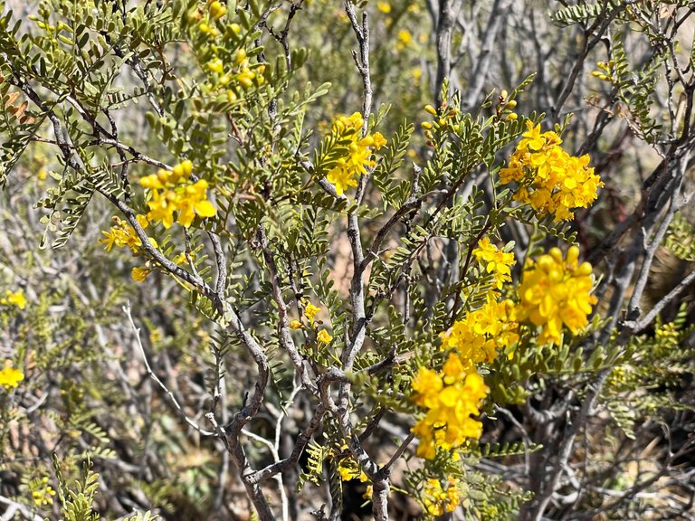
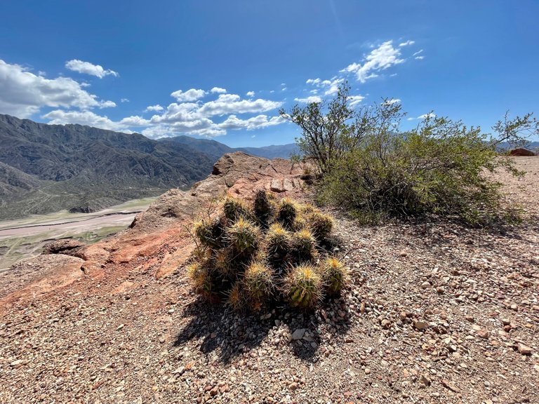
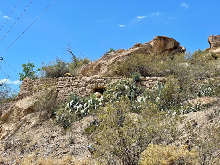
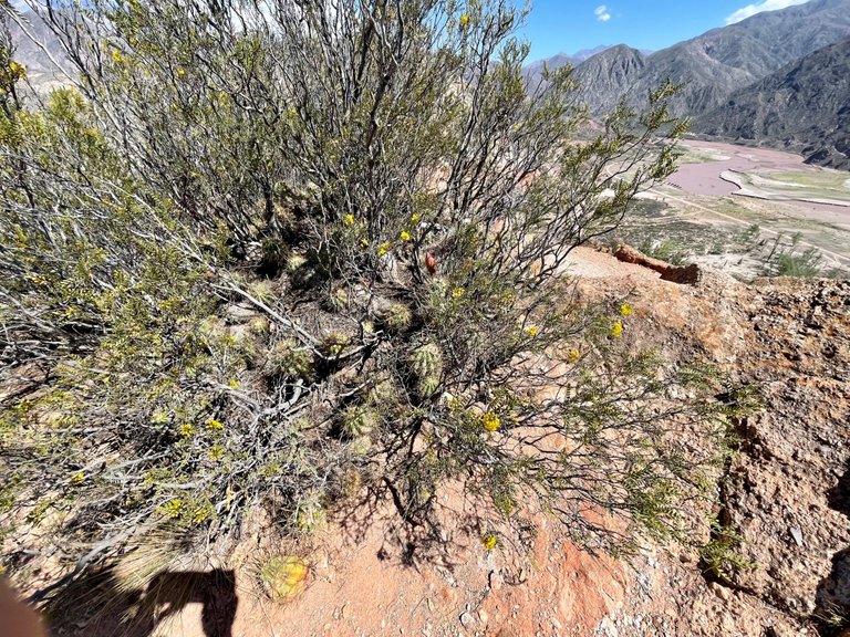
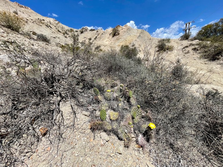
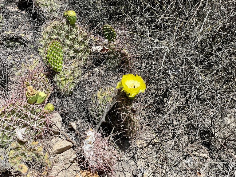
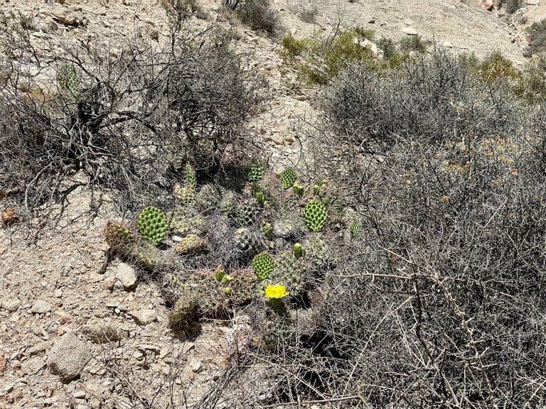
Cerro Cocodrilo, like the others in this area of the Andes Mountains, has a rather poor vegetation where cactus and jarillas predominate. There is very little fauna, including snakes, foxes, eaglets and condors. However, there are several insects, such as spiders, wasps and horseflies.
As some of the insects are poisonous and as most of the plants have thorns, sharp leaves or dry branches, it is recommended to cover arms and legs to cross this and other hills. But nobody usually does that when it is so hot.
Hacia la cima
El ascenso en su primera parte fue bastante intenso, con una pendiente marcada y ripio en el suelo, que obligaba a clavar los pies todo lo que fuese posible para evitar resbalarnos. Sin embargo, yo había hecho este cerro unos 10 años atrás, y sabía que prometía ciertos descansos unos metros arriba, así que le dije a Luci, mi amiga, que se quedara tranquila, que ya terminaba esa parte un poco más difícil.
Mientras subíamos, observamos las rocas, sus colores, cómo algunas aparentaban tener cuarzos metidos por el medio, y nos quedamos bastante intrigadas con un material que parecía una placa de sal. Ninguna de las dos sabía qué era, por lo que un geólogo en ese momento, hubiese sido de gran ayuda. Más adelante en el camino, vimos en uno de los cortes del cerro que este aparente salitre compactado conformaba toda una capa.
El Cerro Cocodrilo, como los demás de esta zona de la Cordillera de Los Andes, presenta una vegetación bastante pobre en donde predominan cactus y jarillas. La fauna es muy poca, y entre ella, hay serpientes, zorros, aguiluchos y cóndores. Sin embargo, hay varios insectos, como arañas, avispas, tábanos.
Como algunos de los insectos son venenosos y como la mayoría de las plantas tienen espinas, hojas puntiagudas o ramas secas, se recomienda cubrirse brazos y piernas para transitar este y otros cerros. Pero nadie suele hacer eso cuando hace tanto calor.
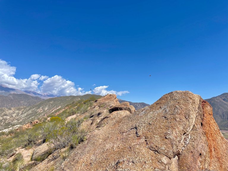
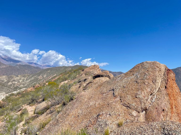
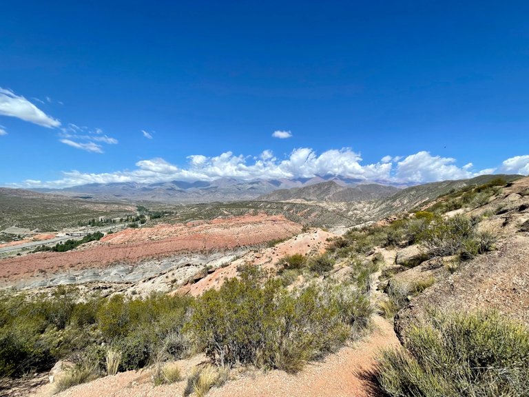
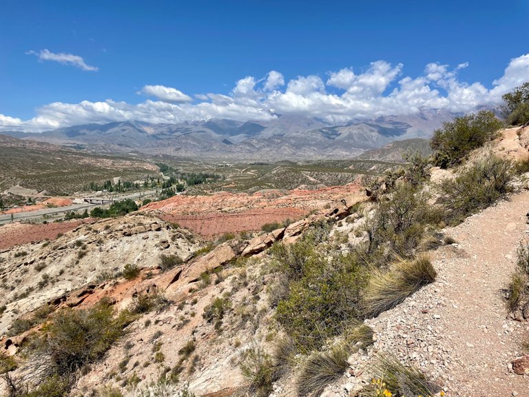
On the iron ledge
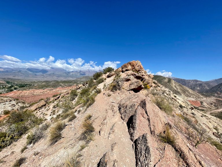
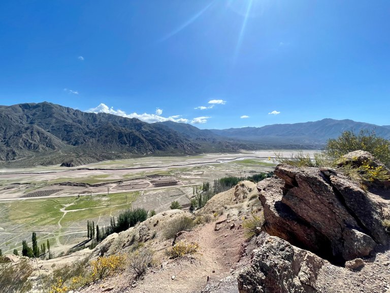
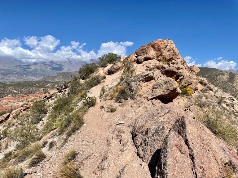
Well, we arrive at what is called "the edge " of the hill, which as the word says, is a very narrow space where sometimes you can find a marked path that allows you to move. There are hills that have simple edges, and others are really very dangerous. In this case it is quite safe, but that does not mean that you have to walk carefully because falling directly implies rolling on rocks, cactus, and others on the slope of the hill. That is to say, a fall even on a simple ridge like the one on Cerro Cocodrilo can still have very serious consequences.
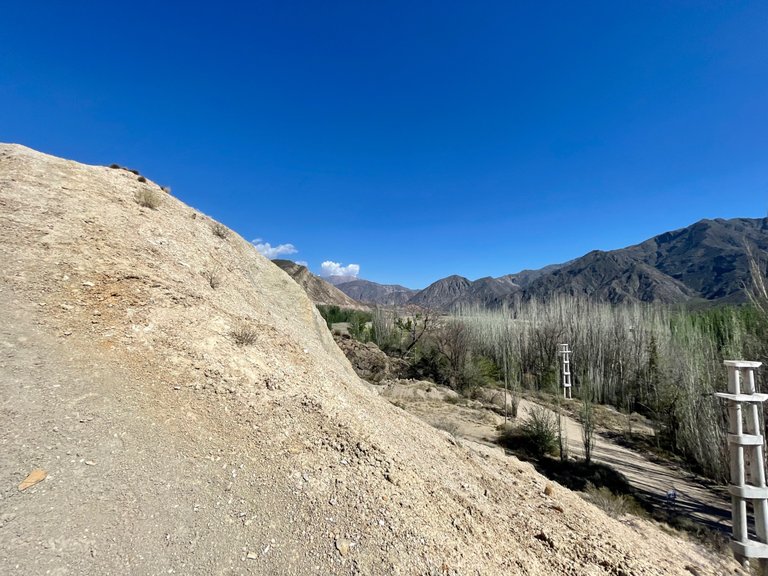
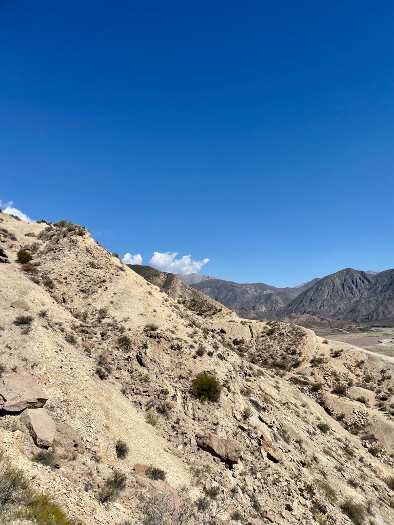
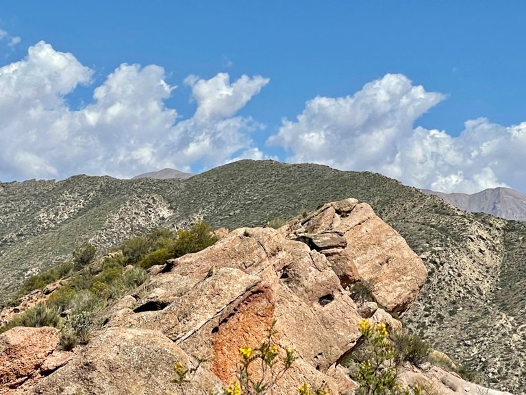
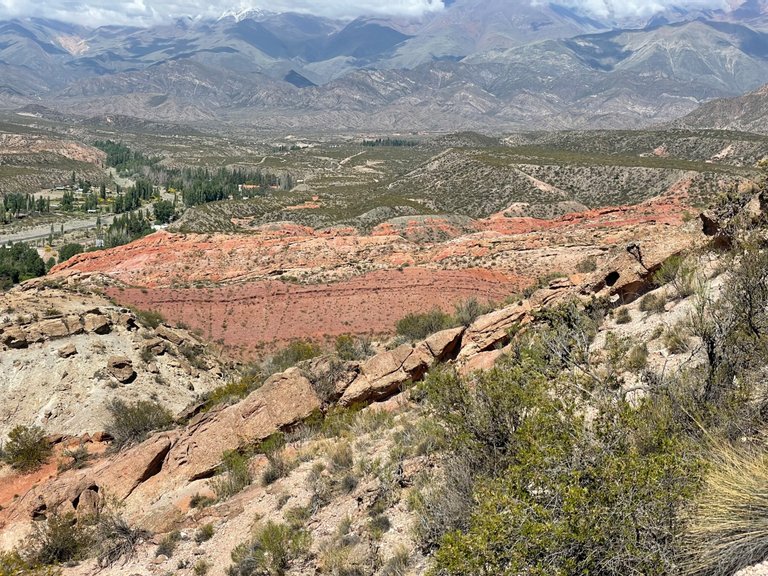
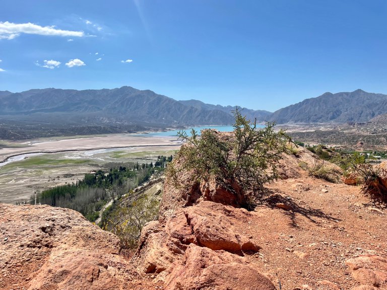
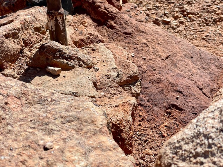
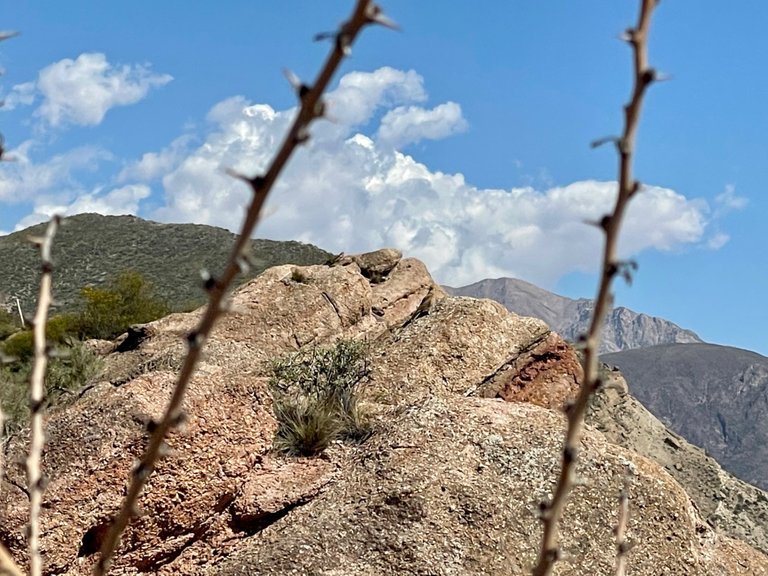
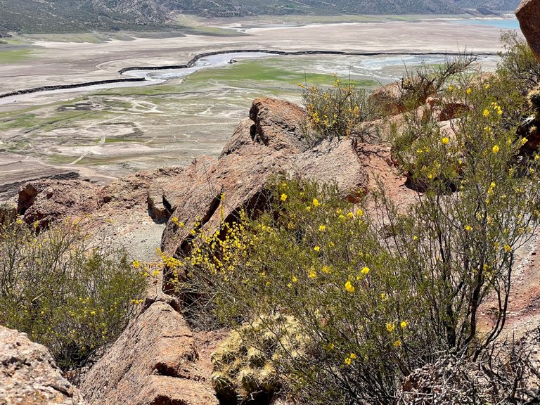
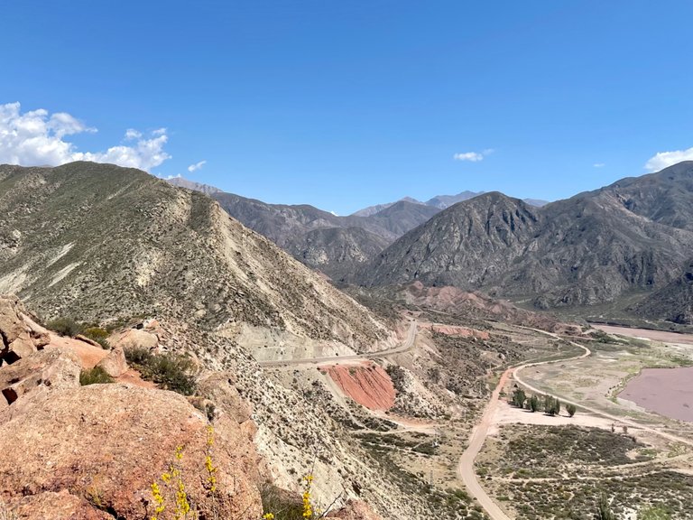
The rocks at this point have already changed their color. As you can see in the photos, the soil is clayey and gravelly, with an inert brown color. But little by little, the red tone begins to participate in the landscape until it almost dominates the scene. This color is due to a predominance of iron in the soil components.
En la cornisa ferrosa
Pues bien, llegamos a lo que se denomina “el filo” del cerro, que como bien lo dice la palabra, es un espacio muy angosto en donde a veces puedes encontrar un camino marcado que te permite desplazarte. Hay cerros que tienen filos sencillos, y otros los tienen realmente muy peligrosos. En este caso es bastante seguro, pero eso no quita que uno tenga que andar con cuidado porque caer implica directamente rodar por rocas, cactus, y demás por la ladera del cerro. Es decir, una caída aún en un filo simple como el del Cerro Cocodrilo, igualmente puede tener consecuencias muy graves.
Las rocas en este punto ya han cambiado su color. Como pueden ver en las fotos, el suelo se muestra arcilloso y ripioso, con un color marrón inerte. Pero de a poco, el tono rojo empieza a participar del paisaje hasta casi dominar la escena. Este color se debe a una predominancia de hierro en los componentes del suelo.
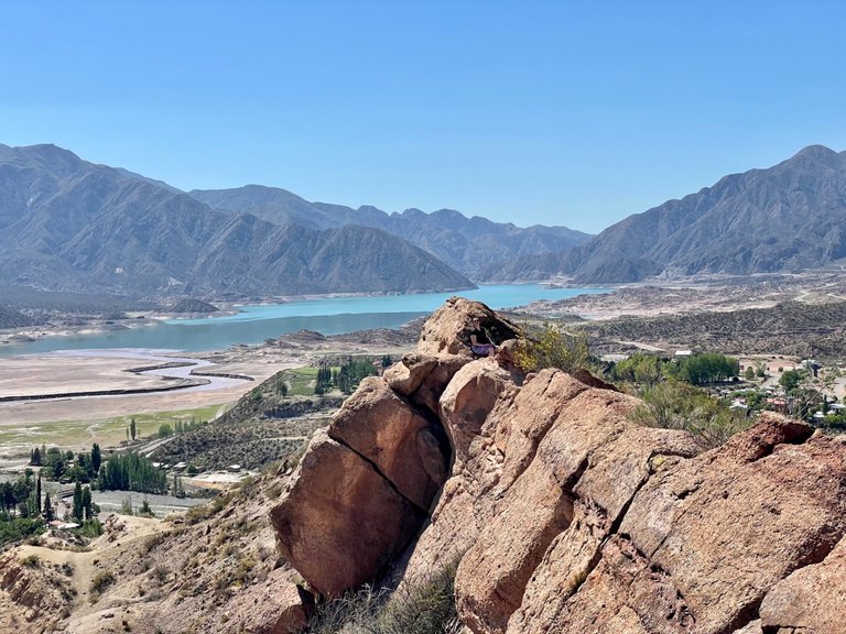
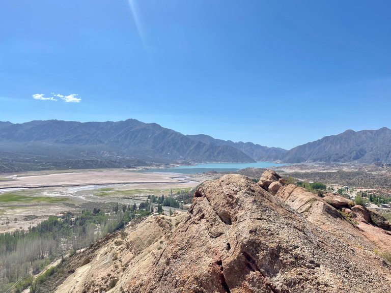
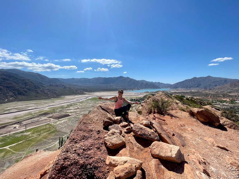
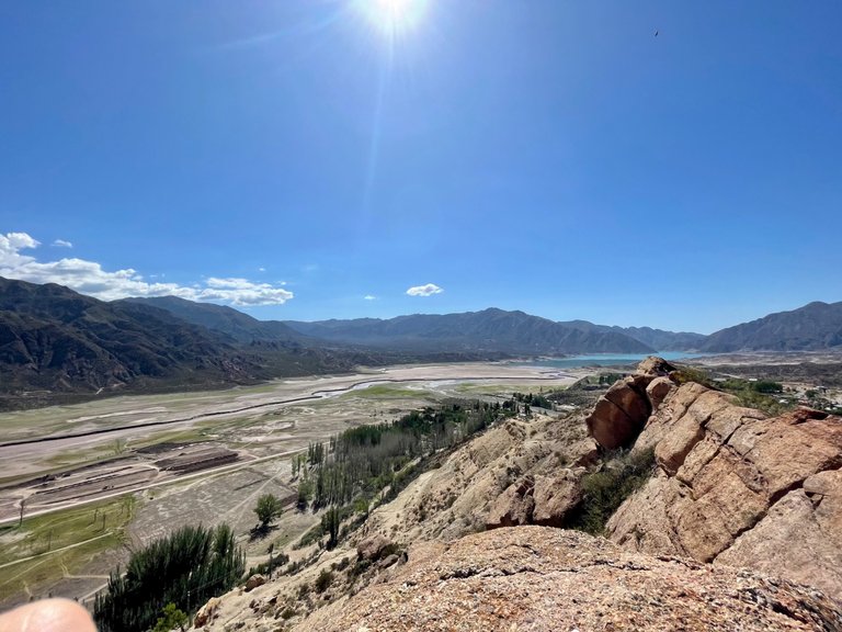
The dance of the eaglets
I was leading the way, and since it was an edge, it demanded that one person should go behind the other, so I was the first to know what was ahead.
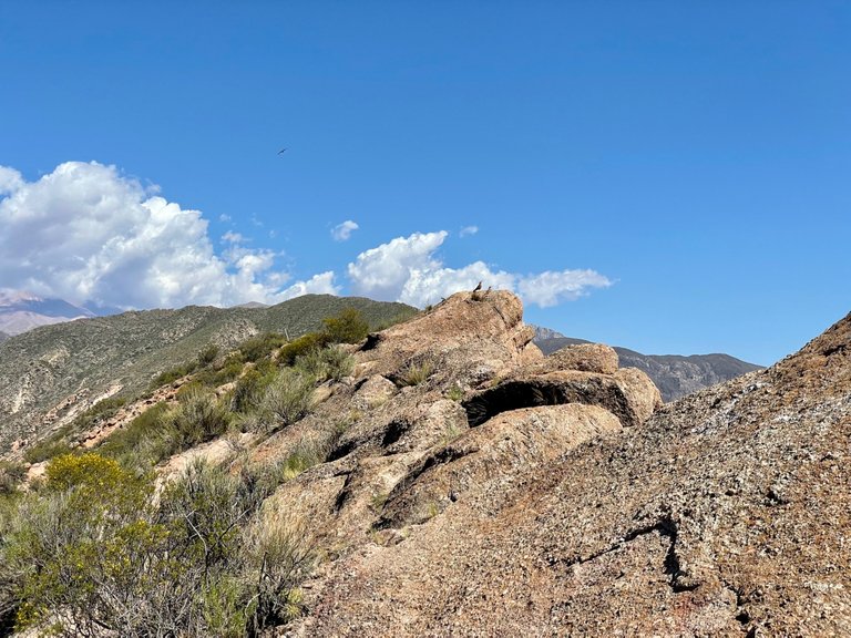
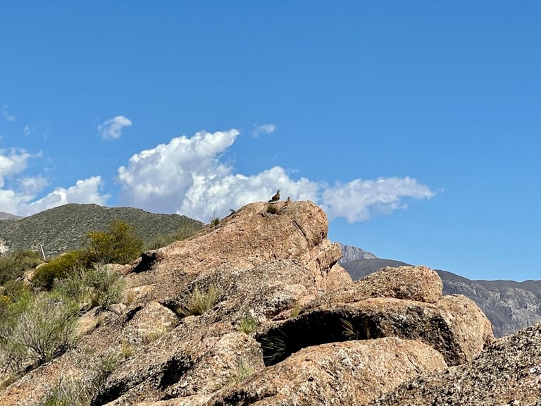
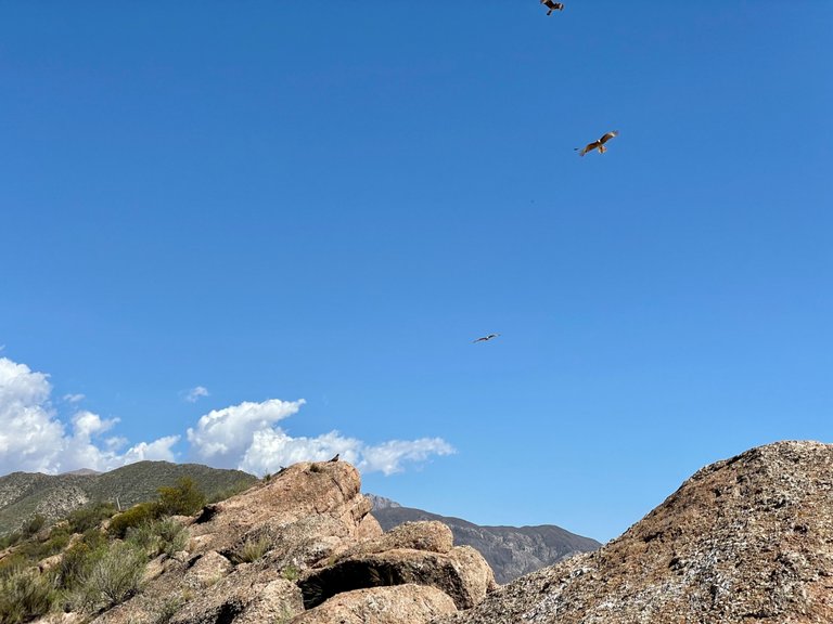
We were chatting with Luci, but as soon as he saw a beautiful eaglet perched on a rock, I asked him to be quiet, because I wanted to get as close as possible to take a picture and share it on Hive.
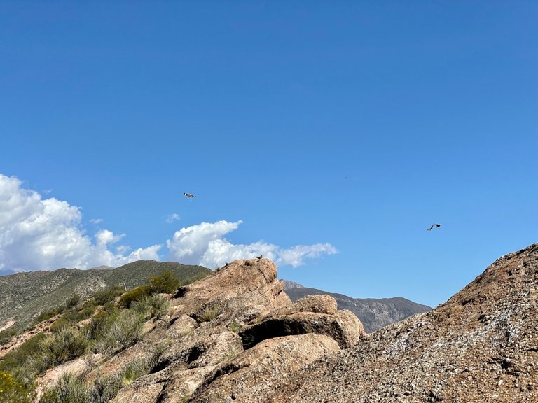
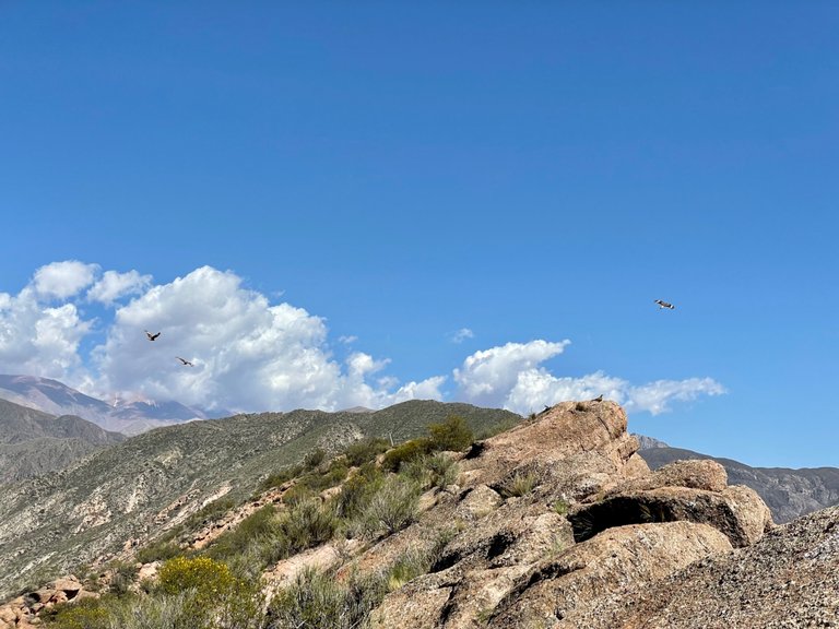
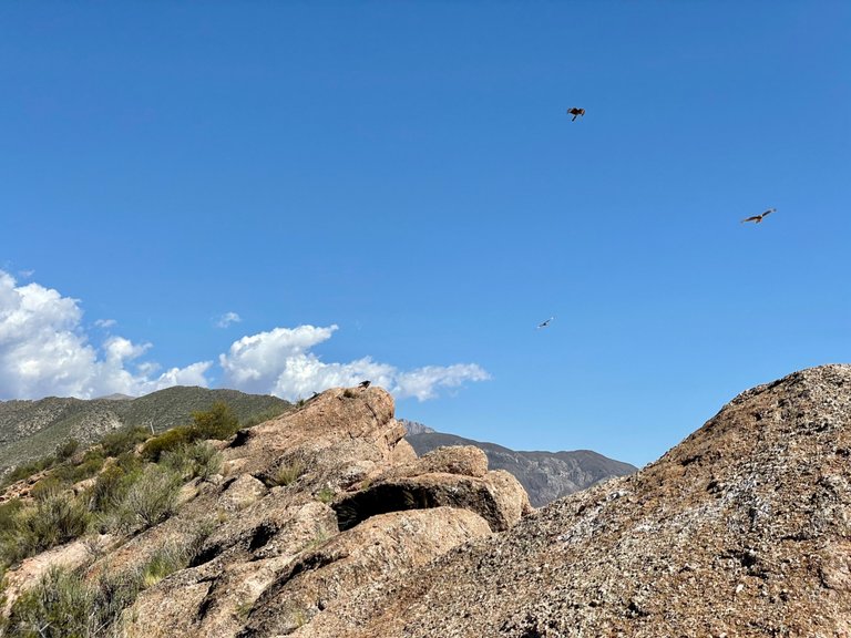
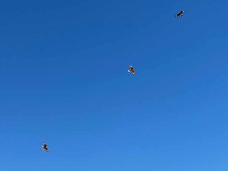
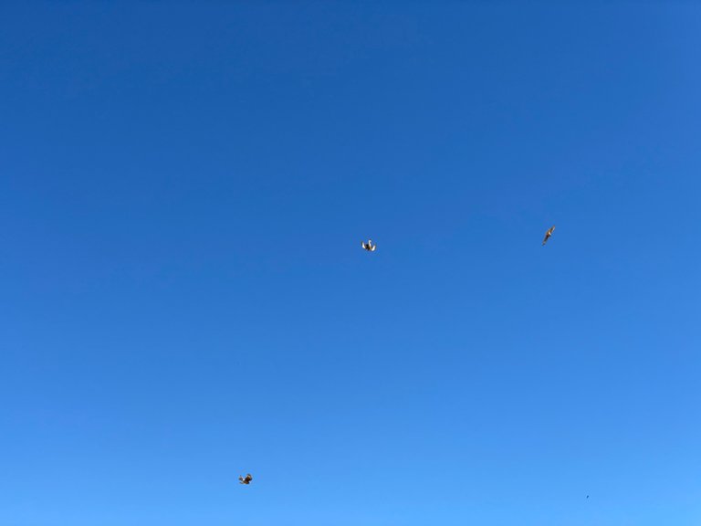
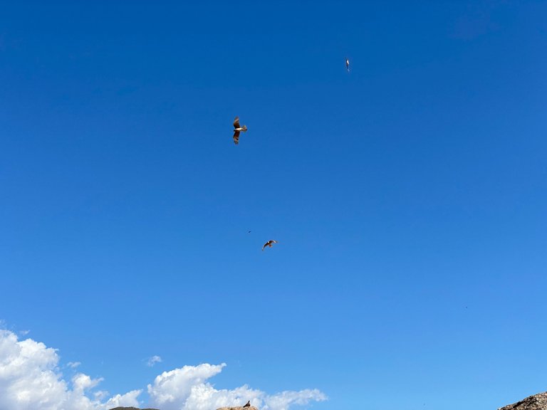
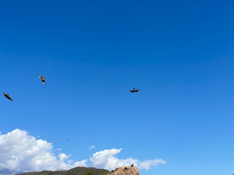
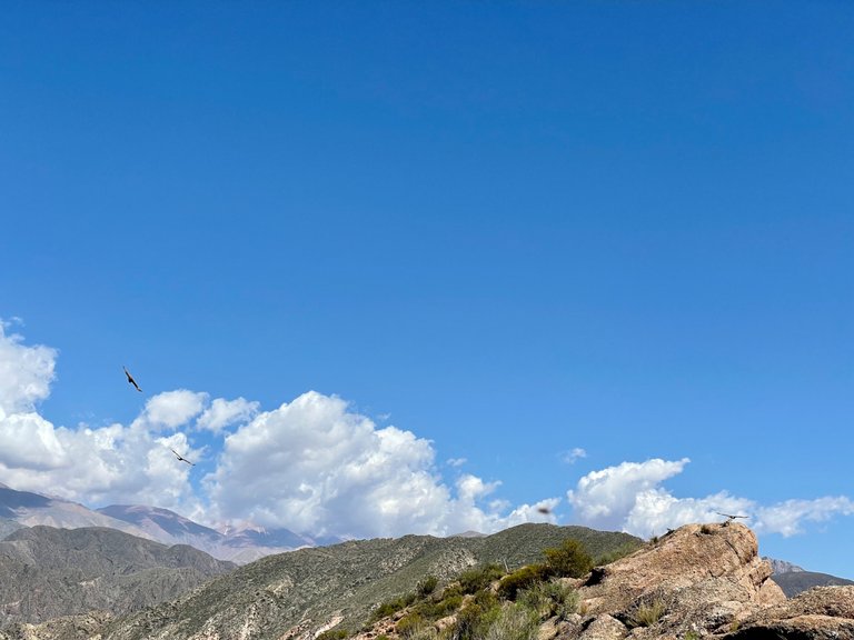
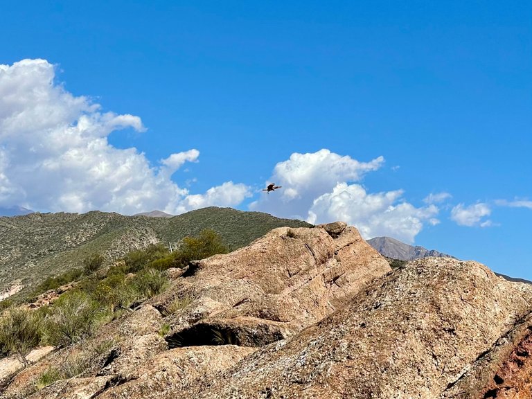
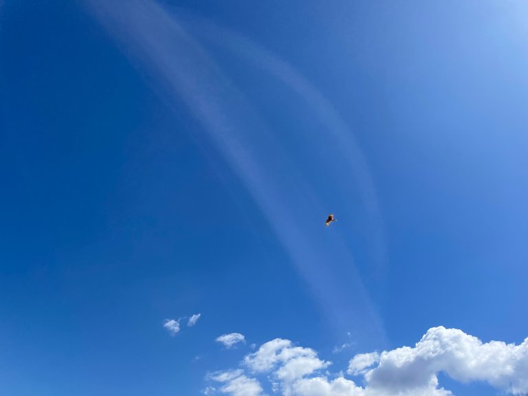
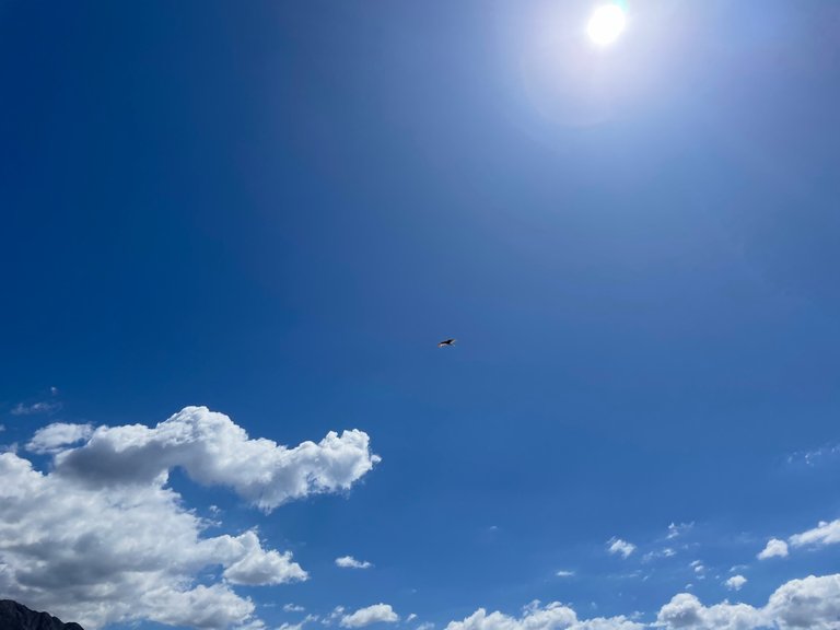
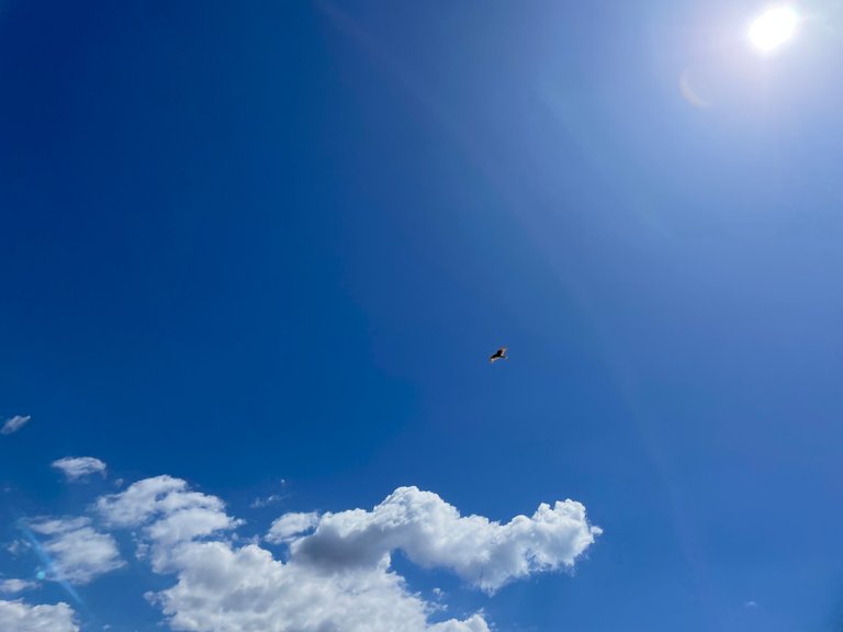
As soon as we stopped talking, it must have been 3 minutes, other eaglets approached that first one and started communicating with sounds and flapping. I followed them as much as I could with the camera, at a prudent distance so as not to scare them, and while I was concentrating on them, from the cell phone I noticed that a huge bird was crossing the sky.
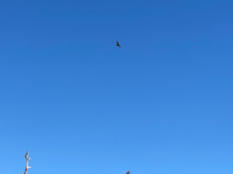
It was a condor. The height of its flight was notably higher than that of the other birds and its black wings and the precision of its course left no doubt that it was a condor. However, we believe it was a very young one, because in theory they are larger.
La danza de los aguiluchos
Yo iba guiando la marcha, y como justamente, era un filo, el mismo demandaba que una persona fuese atrás de la otra, así que era yo quien se enteraba primero de lo que había adelante.
Con Luci íbamos charlando, pero en cuanto vio a un hermoso aguilucho posado en una roca, le pedí que hiciéramos silencio, pues quería acercarme todo lo que fuese posible para tomar una foto y compartirla en Hive.
En cuanto dejamos de hablar, deben haber pasado 3 minutos, otros aguiluchos se acercaron a aquel primero y empezaron a comunicarse con sonidos y aleteos. Los seguí tanto como pude con la cámara, a una distancia prudencial para no asustarlos, y mientras estaba concentrada en ellos, desde el celular noté que un ave inmensa estaba atravesando el cielo.
Era un cóndor. La altura de su vuelo era notablemente más elevada que la de los otros pájaros y sus alas negras y la precisión en su rumbo no daban lugar a dudas de que se trataba de un cóndor. Sin embargo, creemos que era uno muy joven, porque en teoría son más grandes.
The condor: king of the sky
This bird undoubtedly deserves a separate explanation, since it is a provincial emblem and I would say that of the entire Andes Mountains. I remember having studied it a lot in Biogeography class and in fact we made a trip to the high mountains with the intention of sighting condors, but the objective was unsuccessful.
However, little did I know that years later I would have the blessing of seeing free condors on two occasions on Cerro Cocodrilo, which is only 1500 meters above sea level.
The condor is a bird that is distributed in the mountain range mainly from 1000 meters above sea level. It is a scavenger, that is, it eats dead or dying animals, thus fulfilling an essential role in the food chain.
Its head is hairless, and its fur is mainly black with some white feathers. This bird is larger than the eagle, since its body measures between 1 and 1.3 meters and with its wings extended its width is around 3.50 meters.
I knew a lot about the condor because I studied it, but for precise data I did a search for information because I wanted to be sure they were those. The page I consulted is fundacioncondor.org.
El cóndor: el rey del cielo
Este ave sin dudas merece una explicación aparte, ya que es un emblema provincial y diría que de toda la Cordillera de Los Andes. Recuerdo haberlo estudiado bastante en la clase de Biogeografía y de hecho hicimos un viaje a alta montaña con intención de hacer avistamiento de cóndores, pero el objetivo no tuvo éxito.
Sin embargo, yo no sabía que años más tarde tendría la bendición de ver en dos ocasiones cóndores libres en el Cerro Cocodrilo, que se encuentra a tan solo 1500 metros sobre el nivel Del Mar.
El cóndor justamente es un ave que se distribuye en la cordillera principalmente a partir de los 1000 metros de altura. Es carroñera, es decir que se come a los animales muertos o moribundos, cumpliendo de este modo un rol esencial en la cadena alimenticia.
Su cabeza no tiene pelo, y su pelaje es principalmente negro con algunas plumas blancas. Este ave es más grande que el águila, ya que su cuerpo mide entre 1 y 1,3 metros y con las alas extendidas su ancho es de alrededor de 3,50 metros.
Sabía mucho del cóndor porque lo estudié, pero para datos precisos sí hice una búsqueda de información porque quería estar segura de que fuesen esos. La página que consulté es fundacioncondor.org.
Andean flora
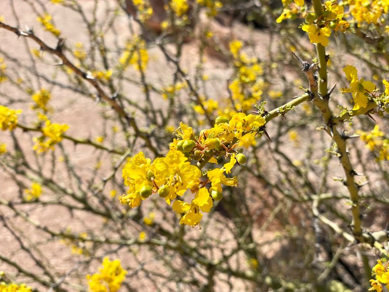
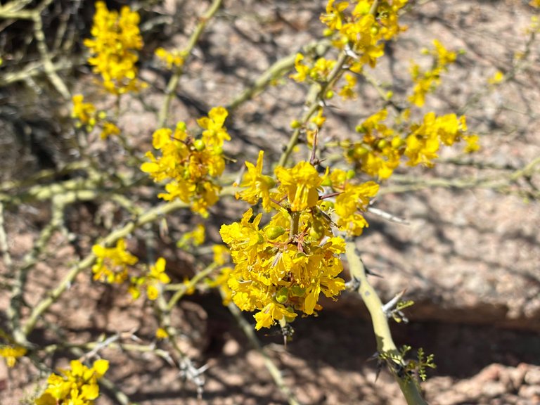
Although I have already commented on some of the vegetation, I would like to add some interesting points that you may have noticed in the photos.
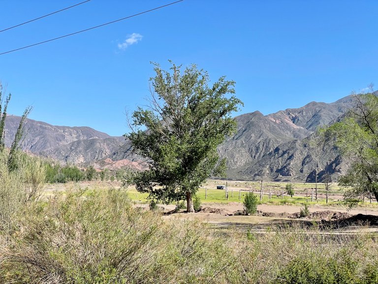
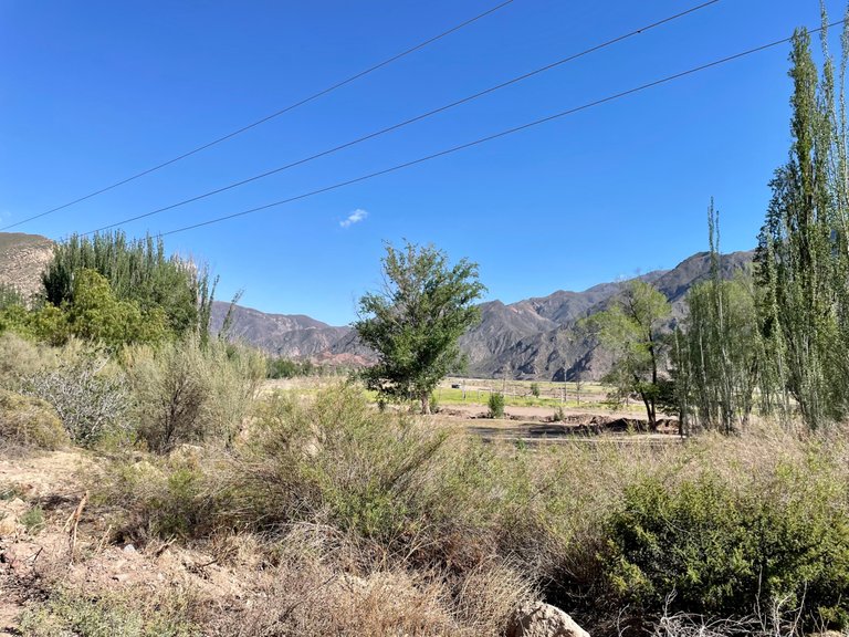
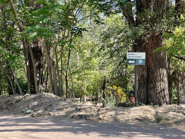
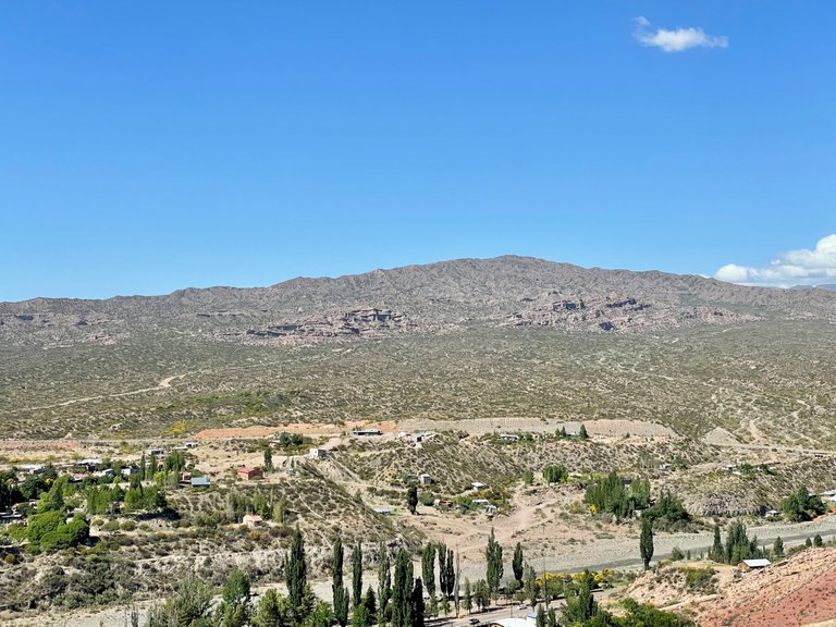
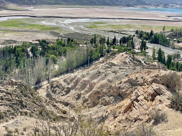
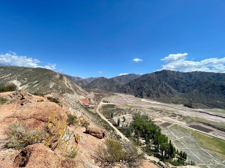
In the province, we have very little native vegetation due to the arid climate characteristic of Mendoza, however, you will see leafy trees in some parts of the images.
Some of them have been voluntarily planted in search of shade and for landscaping strategies, but most of them arrive to these areas thanks to animals that carry seeds or twigs in their paws, or to the tires of cars and trucks that in their long journeys take from other lands some remains that continue their life here.
So these trees are introduced flora. The native is as you can see in most of the space. Grasses, shrubs, plants with thorns. Their structure is like that because in their evolutionary process they have adapted to the environment. Although their height is low, they have an extremely deep root network, which allows them to access very distant water tables in order to subsist.
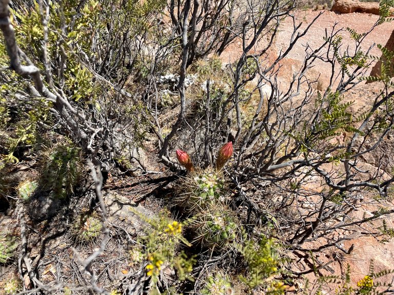
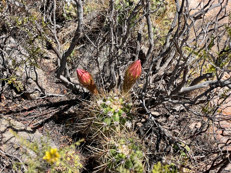
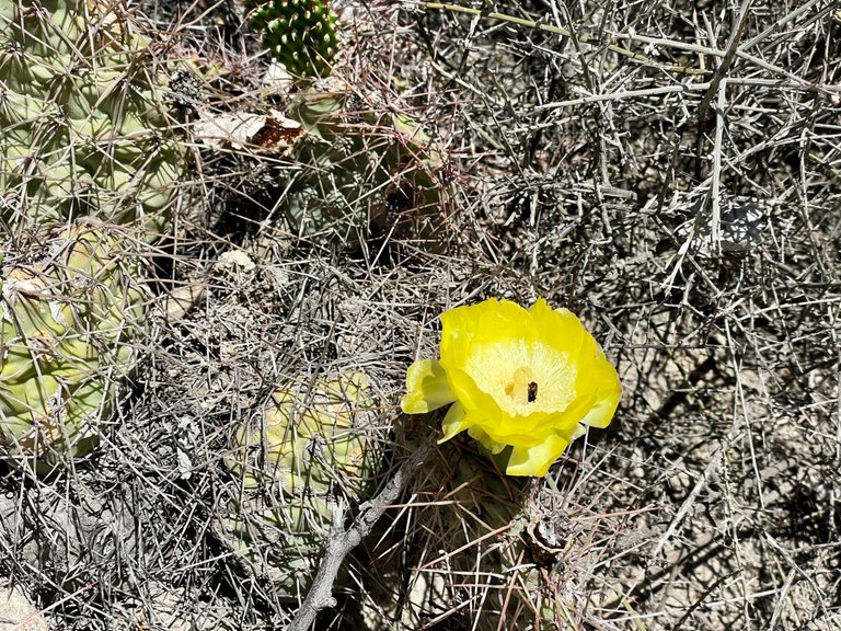
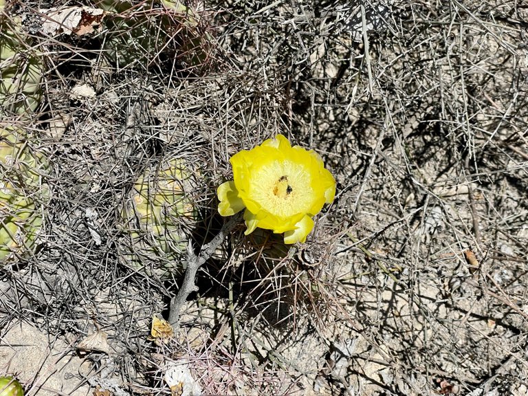
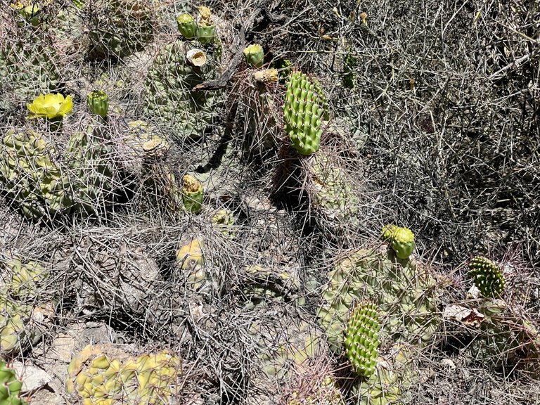
Something that makes me fall in love with these plants, especially with cacti, is their flowers. It seems incredible to walk through the mountains and suddenly come across these gigantic colorful flowers. How can something that seems so aggressive with those thorns produce such beautiful flowers? And it can, because cacti are really beautiful, and they are a great example of persistence and strength in nature.
Small and in the most difficult conditions, they accumulate water in their interior to survive and their thorns allow them to protect their center from the animals that prowl around in search of food.
Although Andean flora may not be as colorful or diverse as in jungle ecosystems, it is one of my favorites because of the conditions it faces.
Flora andina
Aunque ya comenté algo de la vegetación, me gustaría agregar algunas cuestiones interesantes que deben haber observado en las fotos.
En la provincia, tenemos muy poca vegetación autóctona debido al clima árido característico de Mendoza, sin embargo, verán árboles frondosos en algunas partes de las imágenes.
Algunos de ellos han sido voluntariamente plantados en busca de sombra y por estrategias paisajísticas, pero la mayoría, llegan a estas zonas gracias a los animales que transportan en sus patas semillas o ramitas, o a los neumáticos de autos y camiones que en sus largos desplazamientos toman de otras tierras algún resto que continúa su vida por aquú.
Así que esos árboles son flora introducida. La nativa es como pueden ver en la mayor parte del espacio. Hierbas, arbustos, plantas con espinas. Su estructura es así porque en su proceso evolutivo se han adaptado al ambiente. Aunque su altura es baja, cuentan con una red de raíces sumamente profundas, que les permite acceder a napas muy lejanas para poder subsistir.
Algo que me enamora de estas plantas, en especial de los cactus, son sus flores. Parece increíble ir caminando por la montaña y de pronto toparse con estas flores gigantescas de colores. ¿Cómo algo que parece tan agresivo con esas espinas puede dar flores tan hermosas? Y puede, y es que en verdad los cactus son preciosos, y son un gran ejemplo de persistencia y fortaleza en la naturaleza.
Pequeños y en las más difíciles condiciones, acumulan agua en su interior para sobrevivir y sus espinas les permiten proteger su centro de los animales que merodean por allí en busca de alimento.
Aunque la flora andina puede no ser muy vistosa ni diversa como ocurre en los ecosistemas selváticos, es una de mis preferidas por las condiciones a las que se enfrenta.
The urban advance
This is the hardest part of my publication, and that's how raw it was to our eyes.
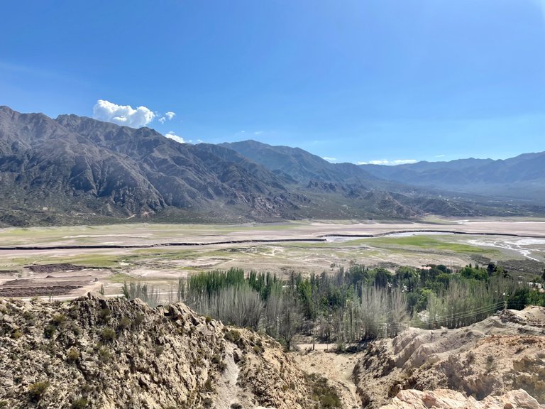
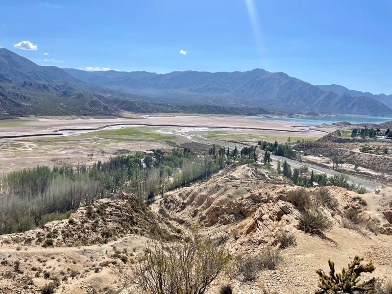
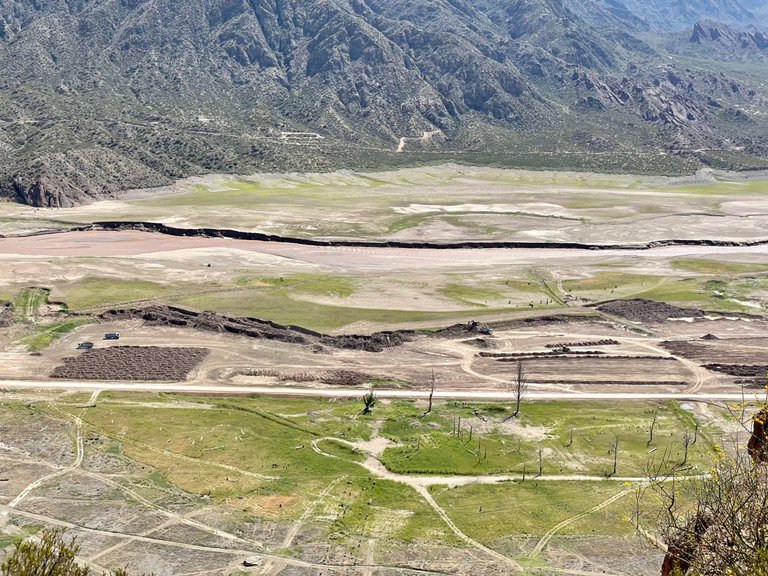
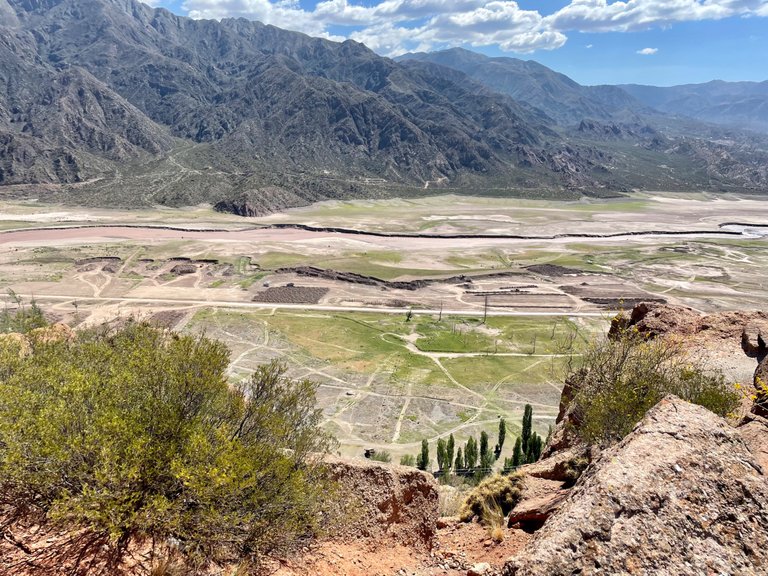
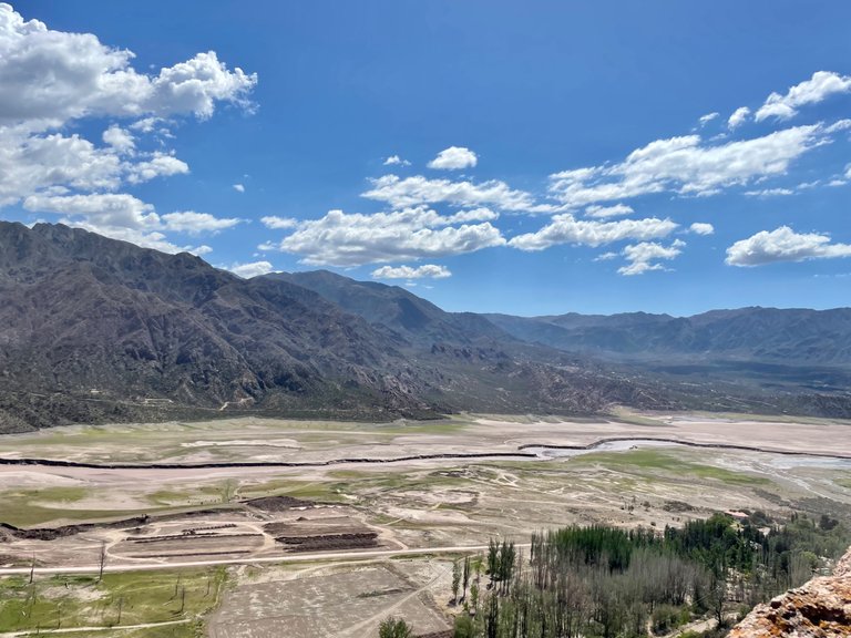
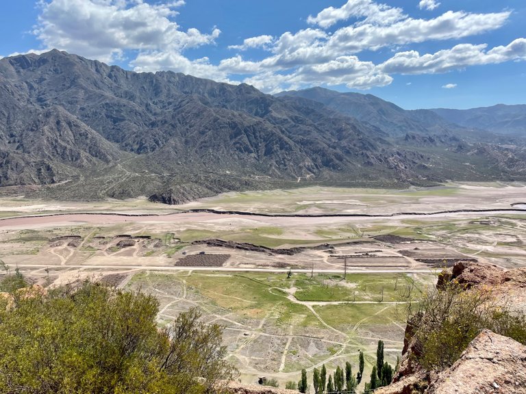
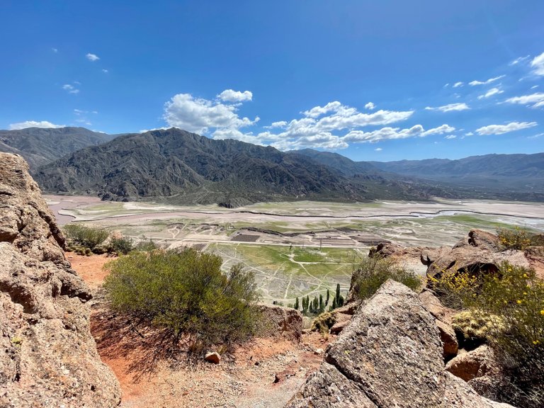
On the part of the reservoir that has dried up, they are building "something". We don't know what, but we couldn't believe it. Apparently it is not enough to see that the city is in a water crisis. I say "see" because clearly, as I showed in my previous Pinmapple post, the water level has dropped tremendously and we are talking about a very large reservoir.
Not only is there a water crisis but now they are building where there should be water. Part of me hopes that this work has a beneficial purpose for nature, but something tells me that the focus will only be on the pockets of the big businessmen who are increasingly turning their eyes towards Mendoza as a land to invest in because of its potential, among which wine growing and tourism stand out.
Let us hope that the greatest possible respect will be shown.
El avance urbano
Est es la parte más dura de mi publicación, y así de cruda fue a nuestra vista.
En la parte que se ha secado del embalse, están construyendo “algo”. No sabemos qué, pero no podíamos creerlo. Aparentemente no es suficiente ver que la ciudad está en crisis hídrica. Digo “ver” porque claramente, como mostré en mi publicación anterior de Pinmapple, el nivel del agua ha bajado muchísimo y estamos hablando de un embalse muy extenso.
No solo hay una crisis hídrica sino que ahora construyen donde debería haber agua. Una parte de mi espera que esa obra tenga un objetivo beneficioso para la naturaleza, pero algo me dice que el foco sólo estará en los bolsillos de los grandes empresarios que cada vez giran más la mirada hacia Mendoza como tierra para invertir por sus potencialidades, entre las que se destacan la vitivinicultura y el turismo.
Esperemos que se muestre el mayor respeto posible.
At the top
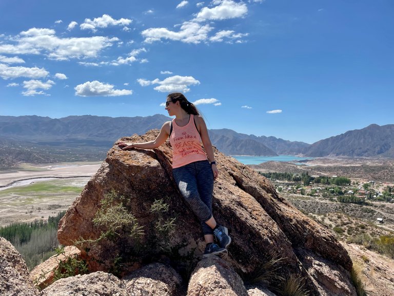
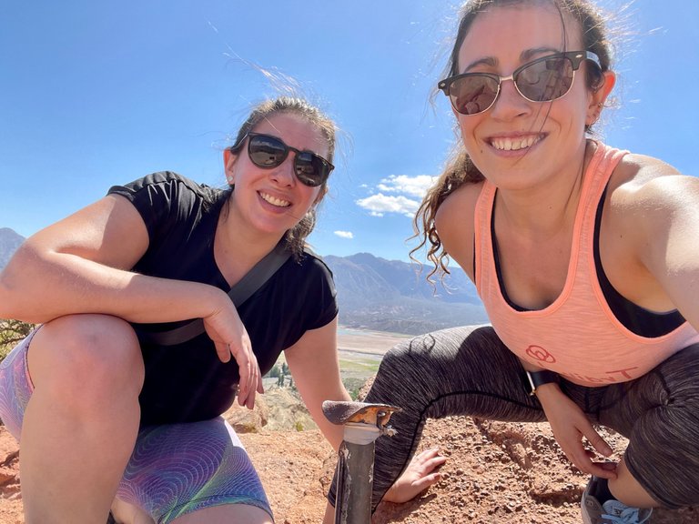
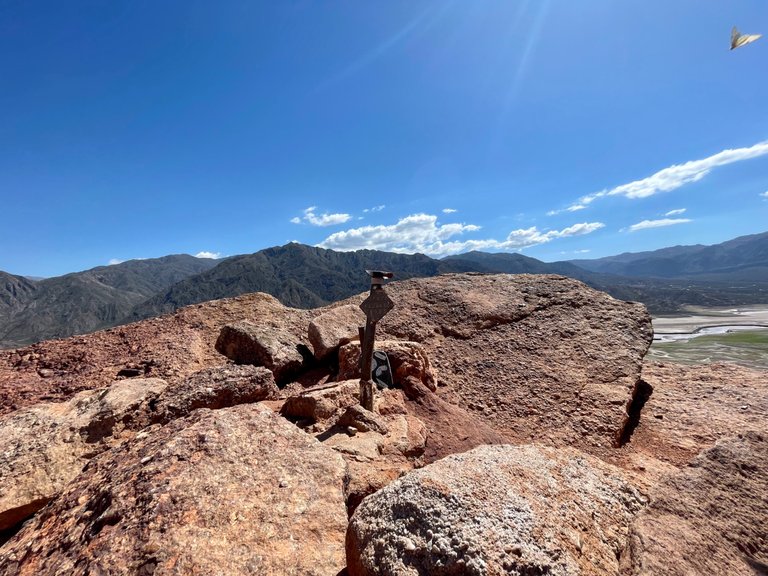
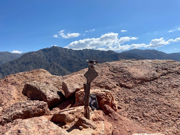
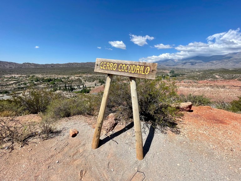
There is not too much to say here, as what I have been showing you on the ascent and as we traversed the ridge, was the juicy part of the expedition. The summit, as you can see has a sign and a stake, and from there you can see the urban advance. About 10 years ago, you could still enjoy the Potrerillos dam.
The descent was easy and fast. This mountain in general has a very low complexity, so it is suitable for those who are new to trekking.
En la cima
No hay demasiado que decir aquí, ya que lo que les he ido mostrando en el ascenso y a medida que recorríamos el filo, fue lo jugoso de la expedición. La cima, como pueden ver tiene un cartel y una estaca, y desde allí se observa el avance urbano. Hace unos 10 años atrás, todavía podía disfrutarse el dique Potrerillos.
El descenso fue sencillo y rápido. Este cerro en general tiene una complejidad ínfima, por lo que es apto para quienes recién inician en el trekking.
Amigos, desde ya, muchas gracias por estar aquí!! Espero que hayan disfrutado de este paseo conmigo!
Friends, thank you very much for being here! I hope you enjoyed this ride with me!
Amigos, desde ya, muchas gracias por estar aquí!! Espero que hayan disfrutado de este paseo conmigo!
Pinmapple code: [//]:# (!pinmapple -32.95354 lat -69.20750 long Try some trekking with me in the Andes Mountains: adventures at Cerro Cocodrilo d3scr)
Device: iPhone 12 Pro
Translation: DeepL
Dispositivo: iPhone 12 Pro
Traducción: DeepL


Hiya, @LivingUKTaiwan here, just swinging by to let you know that this post made it into our Top 3 in Daily Travel Digest #1725.
Your post has been manually curated by the @pinmapple team. If you like what we're doing, please drop by to check out all the rest of today's great posts and consider supporting other authors like yourself and us so we can keep the project going!
Become part of our travel community:
Wow!! Thanks a lot for this!! ☺️☺️
Congratulations, your post has been added to Pinmapple! 🎉🥳🍍
Did you know you have your own profile map?
And every post has their own map too!
Want to have your post on the map too?
Thank you!!
Muy buen post @belug me encantaron todas las fotografías bastantes coloridas y me encantó como cubriste todo desde flora, fauna ,terreno etc. Muy completo tu post!
el lugar esta bastante hermoso, lo malo es que se ve que casi no tiene lugares de sombra para descansar de ese sol tan fuerte. Muy bonito todo !
Gracias por tu comentario!! Así es! Prácticamente no tiene sombra en lo que es la subida jeje, hay que ir temprano!!
Thank you!! 😊
https://twitter.com/1519718864136949760/status/1601374377865625601
The rewards earned on this comment will go directly to the people sharing the post on Twitter as long as they are registered with @poshtoken. Sign up at https://hiveposh.com.
Thank you!!
Hi @belug, you know what, in such a beautiful place I could go for a hike every day 😉Great post, congrats!
Heheh yes!! It’s perfect for some hiking!! Thanks a lot for your comment! I’m glad you liked the post!
It certainly looks like a nice place for a hike. Its quite dry/arid looking - way more than I would have thought (but I have no reason for thinking that !). And how cool to see a Condor - thats quite amazing !
!PIZZA
Thank a lot for your comment!! I’m glad you like the post!! :D